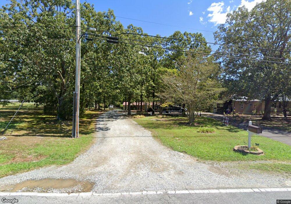
205 Boggs Rd Thomasville, NC 27360
Estimated Value: $202,000 - $261,000
2
Beds
2
Baths
1,456
Sq Ft
$151/Sq Ft
Est. Value
About This Home
This home is located at 205 Boggs Rd, Thomasville, NC 27360 and is currently estimated at $220,196, approximately $151 per square foot. 205 Boggs Rd is a home located in Davidson County with nearby schools including Pilot Elementary School, E. Lawson Brown Middle School, and East Davidson High School.
Ownership History
Date
Name
Owned For
Owner Type
Purchase Details
Closed on
Dec 1, 1980
Current Estimated Value
Create a Home Valuation Report for This Property
The Home Valuation Report is an in-depth analysis detailing your home's value as well as a comparison with similar homes in the area
Home Values in the Area
Average Home Value in this Area
Purchase History
| Date | Buyer | Sale Price | Title Company |
|---|---|---|---|
| -- | $45,000 | -- |
Source: Public Records
Tax History Compared to Growth
Tax History
| Year | Tax Paid | Tax Assessment Tax Assessment Total Assessment is a certain percentage of the fair market value that is determined by local assessors to be the total taxable value of land and additions on the property. | Land | Improvement |
|---|---|---|---|---|
| 2025 | $422 | $132,730 | $0 | $0 |
| 2024 | $422 | $132,730 | $0 | $0 |
| 2023 | $409 | $132,730 | $0 | $0 |
| 2022 | $409 | $132,730 | $0 | $0 |
| 2021 | $409 | $132,730 | $0 | $0 |
| 2020 | $370 | $120,240 | $0 | $0 |
| 2019 | $376 | $120,240 | $0 | $0 |
| 2018 | $376 | $120,240 | $0 | $0 |
| 2017 | $376 | $120,240 | $0 | $0 |
| 2016 | $376 | $120,240 | $0 | $0 |
| 2015 | $376 | $120,240 | $0 | $0 |
| 2014 | $644 | $103,100 | $0 | $0 |
Source: Public Records
Map
Nearby Homes
- 1052 Johnsontown Rd
- 190 Rebecca Dr
- 186 Rebecca Dr
- 170 Garrett Ln
- 0 Hillcrest Dr Unit 90 CAR4240649
- 1125 Hillcrest Dr
- 0 Coral Ln
- 0000 Old Lexington Rd
- 1269 Johnsontown Rd
- 106 Kincemac Dr
- 600 Clay St Unit 602
- 111 Linden Dr
- 109 Linden Dr
- 115 Linden Dr
- 171 Stemp Everhart Rd
- 113 Linden Dr
- 116 Linden Dr
- 114 Linden Dr
- 0 Small St
- 112 Linden Dr
- 207 Boggs Rd
- 1055 Johnsontown Rd
- 209 Boggs Rd
- 208 Boggs Rd
- 1061 Johnsontown Rd
- 1063 Johnsontown Rd
- 1059 Johnsontown Rd
- 217 Boggs Rd
- 100 Sam Kinley Dr
- 1076 Johnsontown Rd
- 1072 Johnsontown Rd
- 1078 Johnsontown Rd
- 1070 Johnsontown Rd
- 215 Boggs Rd
- 1080 Johnsontown Rd
- 102 Sam Kinley Dr
- 221 Boggs Rd
- 103 Sam Kinley Dr
- 1068 Johnsontown Rd