205 Brookside Rd Darien, CT 06820
Estimated Value: $3,445,000 - $3,624,000
4
Beds
4
Baths
4,516
Sq Ft
$782/Sq Ft
Est. Value
About This Home
This home is located at 205 Brookside Rd, Darien, CT 06820 and is currently estimated at $3,530,657, approximately $781 per square foot. 205 Brookside Rd is a home located in Fairfield County with nearby schools including Ox Ridge Elementary School, Middlesex Middle School, and Darien High School.
Ownership History
Date
Name
Owned For
Owner Type
Purchase Details
Closed on
Aug 1, 1997
Sold by
Graham Malcolm S and Graham Linda C
Bought by
Lincoln Robert and Lincoln Sheryl M
Current Estimated Value
Home Financials for this Owner
Home Financials are based on the most recent Mortgage that was taken out on this home.
Original Mortgage
$550,000
Interest Rate
7.25%
Mortgage Type
Unknown
Create a Home Valuation Report for This Property
The Home Valuation Report is an in-depth analysis detailing your home's value as well as a comparison with similar homes in the area
Home Values in the Area
Average Home Value in this Area
Purchase History
| Date | Buyer | Sale Price | Title Company |
|---|---|---|---|
| Lincoln Robert | $1,085,000 | -- |
Source: Public Records
Mortgage History
| Date | Status | Borrower | Loan Amount |
|---|---|---|---|
| Open | Lincoln Robert | $450,000 | |
| Closed | Lincoln Robert | $550,000 | |
| Previous Owner | Lincoln Robert | $400,000 |
Source: Public Records
Tax History Compared to Growth
Tax History
| Year | Tax Paid | Tax Assessment Tax Assessment Total Assessment is a certain percentage of the fair market value that is determined by local assessors to be the total taxable value of land and additions on the property. | Land | Improvement |
|---|---|---|---|---|
| 2025 | $30,237 | $1,953,280 | $1,008,000 | $945,280 |
| 2024 | $28,694 | $1,953,280 | $1,008,000 | $945,280 |
| 2023 | $25,496 | $1,447,810 | $784,000 | $663,810 |
| 2022 | $24,946 | $1,447,810 | $784,000 | $663,810 |
| 2021 | $7,534 | $1,447,810 | $784,000 | $663,810 |
| 2020 | $23,686 | $1,447,810 | $784,000 | $663,810 |
| 2019 | $7,481 | $1,447,810 | $784,000 | $663,810 |
| 2018 | $7,302 | $1,912,120 | $840,000 | $1,072,120 |
| 2017 | $7,210 | $1,912,120 | $840,000 | $1,072,120 |
| 2016 | $30,154 | $1,912,120 | $840,000 | $1,072,120 |
| 2015 | $29,351 | $1,912,120 | $840,000 | $1,072,120 |
| 2014 | $28,246 | $1,881,810 | $840,000 | $1,041,810 |
Source: Public Records
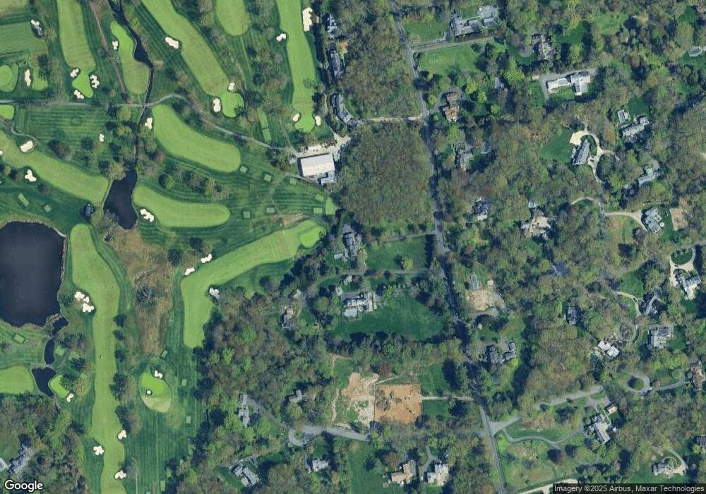
Map
Nearby Homes
- 146 Ridge Acres Rd
- 20 Marianne Rd
- 7 Tommys Ln
- 561 Middlesex Rd
- 97 Richards Ave Unit B10
- 97 Richards Ave Unit E12
- 201 W Norwalk Rd
- 85 Stephen Mather Rd
- 109 Stephen Mather Rd
- 17 Pine Brook Ln Unit 17
- 29 Priscilla Rd
- 10 Stony Brook Rd
- 16 Donna Dr Unit 20
- 28 Crooked Mile Rd
- 10 Ledgebrook Dr Unit 1
- 58 Old Rock Ln
- 2 Fox Run Rd
- 20 Locust Hill Rd
- 5 Shields Ln
- 24 Quaker Rd
- 191 Brookside Rd
- 204 Brookside Rd
- 1 Ridge Acres Rd
- 193 Brookside Rd
- 210 Brookside Rd
- 175 Brookside Rd
- 215 Brookside Rd
- 11 Stonewall Ln
- 170 Ridge Acres Rd
- 220 Brookside Rd
- 2 Ridge Acres Rd
- 9 Stonewall Ln
- 225 Brookside Rd
- 228 Brookside Rd
- 166 Ridge Acres Rd
- 15 Stonewall Ln
- 18 Ridge Acres Rd
- 8 Stonewall Ln
- 235 Brookside Rd
- 234 Brookside Rd