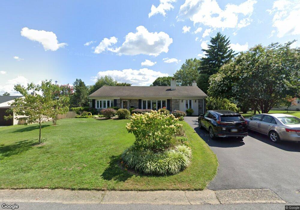
205 Brookthorpe Cir Broomall, PA 19008
Marple Township Delaware NeighborhoodEstimated Value: $603,000 - $708,000
3
Beds
2
Baths
2,268
Sq Ft
$287/Sq Ft
Est. Value
About This Home
This home is located at 205 Brookthorpe Cir, Broomall, PA 19008 and is currently estimated at $651,683, approximately $287 per square foot. 205 Brookthorpe Cir is a home located in Delaware County with nearby schools including Loomis Elementary School, Paxon Hollow Middle School, and Marple Newtown Senior High School.
Ownership History
Date
Name
Owned For
Owner Type
Purchase Details
Closed on
Jan 31, 2010
Sold by
Kambourouglou Catherine and Eleftherakis Theodosios
Bought by
Eleftherakis Theodosios and Eleftherakis Georgia
Current Estimated Value
Purchase Details
Closed on
Sep 29, 2005
Sold by
Eleftherakis Constantinos and Kambourouglou Catherine
Bought by
Kambourouglou Catherine and Eleftherakis Theodosios
Purchase Details
Closed on
Nov 24, 2004
Sold by
Eleftherakis Constantinos and Kambourouglou Catherine
Bought by
Eleftherakis Constantinos
Create a Home Valuation Report for This Property
The Home Valuation Report is an in-depth analysis detailing your home's value as well as a comparison with similar homes in the area
Home Values in the Area
Average Home Value in this Area
Purchase History
| Date | Buyer | Sale Price | Title Company |
|---|---|---|---|
| Eleftherakis Theodosios | -- | None Available | |
| Kambourouglou Catherine | $41,287 | None Available | |
| Eleftherakis Constantinos | -- | -- |
Source: Public Records
Tax History Compared to Growth
Tax History
| Year | Tax Paid | Tax Assessment Tax Assessment Total Assessment is a certain percentage of the fair market value that is determined by local assessors to be the total taxable value of land and additions on the property. | Land | Improvement |
|---|---|---|---|---|
| 2025 | $6,527 | $377,710 | $135,440 | $242,270 |
| 2024 | $6,527 | $377,710 | $135,440 | $242,270 |
| 2023 | $6,320 | $377,710 | $135,440 | $242,270 |
| 2022 | $6,200 | $377,710 | $135,440 | $242,270 |
| 2021 | $9,358 | $377,710 | $135,440 | $242,270 |
| 2020 | $4,985 | $173,220 | $63,800 | $109,420 |
| 2019 | $4,925 | $173,220 | $63,800 | $109,420 |
| 2018 | $4,874 | $173,220 | $0 | $0 |
| 2017 | $4,876 | $173,220 | $0 | $0 |
| 2016 | $951 | $173,220 | $0 | $0 |
| 2015 | $970 | $173,220 | $0 | $0 |
| 2014 | $970 | $173,220 | $0 | $0 |
Source: Public Records
Map
Nearby Homes
- 300 Rock Run Cir
- 54 Sterner Ave
- 200 Marple Rd
- 1 Lawrence Rd Unit A3A
- 345 Ellis Rd
- 1741 Lawrence Rd
- 127 Deerfield Rd
- 1 Brighton Village Dr
- 7 Brighton Village Dr
- 210 218 David Dr
- 6205 Parkview Dr
- 306 Rock Run Cir
- 1702 Melrose Ave
- 15 Oakland Rd
- 63 S Greenhill Rd
- 201 Golf Hills Rd
- 88 4th Ave
- 124 Carli Dr
- 301 S New Ardmore Ave
- 106 2nd Ave
- 207 Brookthorpe Cir
- 203 Brookthorpe Cir
- 2173 Brookthorpe Cir
- 209 Brookthorpe Cir
- 2171 Brookthorpe Cir
- 2175 Brookthorpe Cir
- 206 Brookthorpe Cir
- 208 Brookthorpe Cir
- 204 Brookthorpe Cir
- 211 Brookthorpe Cir
- 202 Brookthorpe Cir
- 210 Brookthorpe Cir
- 2169 Brookthorpe Cir
- 200 Brookthorpe Cir
- 212 Brookthorpe Cir
- 2172 Brookthorpe Cir
- 111 Thomas Ave
- 2170 Brookthorpe Cir
- 209 Lindbergh Ave
- 2167 Brookthorpe Cir