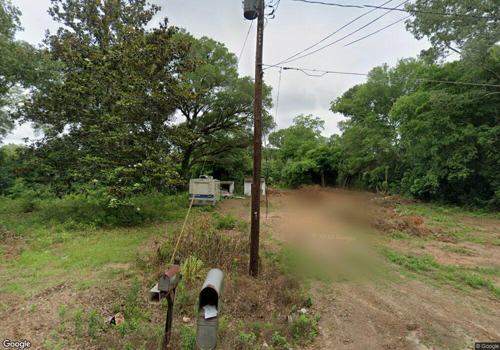
205 Brown St Albany, GA 31705
Estimated Value: $42,000 - $63,000
3
Beds
1
Bath
980
Sq Ft
$53/Sq Ft
Est. Value
About This Home
This home is located at 205 Brown St, Albany, GA 31705 and is currently estimated at $51,632, approximately $52 per square foot. 205 Brown St is a home located in Dougherty County with nearby schools including Turner Elementary School, Albany Middle School, and Radium Springs Middle School.
Ownership History
Date
Name
Owned For
Owner Type
Purchase Details
Closed on
Aug 5, 2017
Sold by
Esquivel Reyes Juan M
Bought by
Carrillo Hector M
Current Estimated Value
Home Financials for this Owner
Home Financials are based on the most recent Mortgage that was taken out on this home.
Original Mortgage
$25,000
Outstanding Balance
$20,861
Interest Rate
3.96%
Mortgage Type
New Conventional
Estimated Equity
$30,771
Purchase Details
Closed on
Jul 7, 2016
Sold by
Steven Charles
Bought by
Reyes Juan M and Reyes Esquivel
Purchase Details
Closed on
Mar 5, 1997
Sold by
Griffin Hansel L
Bought by
Griffin Charles Steven
Purchase Details
Closed on
Nov 23, 1994
Sold by
Griffin H L & Mildred By Ex Of Her Estat
Bought by
Griffin Hansel L and Griffin Charles S
Purchase Details
Closed on
Oct 9, 1967
Sold by
Richards Jake J
Bought by
Griffing Griffing H and Griffing
Create a Home Valuation Report for This Property
The Home Valuation Report is an in-depth analysis detailing your home's value as well as a comparison with similar homes in the area
Home Values in the Area
Average Home Value in this Area
Purchase History
| Date | Buyer | Sale Price | Title Company |
|---|---|---|---|
| Carrillo Hector M | $25,000 | -- | |
| Reyes Juan M | $20,000 | -- | |
| Griffin Charles Steven | -- | -- | |
| Griffin Hansel L | -- | -- | |
| Griffing Griffing H | -- | -- |
Source: Public Records
Mortgage History
| Date | Status | Borrower | Loan Amount |
|---|---|---|---|
| Open | Carrillo Hector M | $25,000 |
Source: Public Records
Tax History Compared to Growth
Tax History
| Year | Tax Paid | Tax Assessment Tax Assessment Total Assessment is a certain percentage of the fair market value that is determined by local assessors to be the total taxable value of land and additions on the property. | Land | Improvement |
|---|---|---|---|---|
| 2024 | $159 | $3,440 | $2,320 | $1,120 |
| 2023 | $159 | $3,440 | $2,320 | $1,120 |
| 2022 | $159 | $3,440 | $2,320 | $1,120 |
| 2021 | $148 | $3,440 | $2,320 | $1,120 |
| 2020 | $148 | $3,440 | $2,320 | $1,120 |
| 2019 | $148 | $3,440 | $2,320 | $1,120 |
| 2018 | $149 | $3,440 | $2,320 | $1,120 |
| 2017 | $138 | $3,440 | $2,320 | $1,120 |
| 2016 | $523 | $13,000 | $2,320 | $10,680 |
| 2015 | $524 | $13,000 | $2,320 | $10,680 |
| 2014 | $516 | $13,000 | $2,320 | $10,680 |
Source: Public Records
Map
Nearby Homes
- 2731 Yorktown Ave
- 2725 Yorktown Ave
- 148 Force Dr
- 2802 Banks Ave
- 308 Forrestal Ln
- 405 Pine Bluff Rd
- 3007 E Park Ct
- 2529 Cherokee Dr
- 2523 Cherokee Dr
- 234 Cone St
- 410 Johnson Rd
- 513 Johnson Rd
- 306 Elsom St
- 2921 Madeline Rd
- 2215 E Broad Ave
- 307 Acorn St
- 309 Acorn St
- 2006 Keystone Ave
- 2004 Keystone Ave
- 119 N West Rd
- 2604 Banks Ave
- 2700 Banks Ave
- 2609 Banks Ave
- 2600 Banks Ave
- 2723 Yorktown Ave
- 2719 Yorktown Ave
- 316 Brown St
- 2717 Yorktown Ave
- 303 Brown St
- 151 Force Dr
- 2720 Yorktown Ave
- 149 Force Dr
- 2715 Yorktown Ave
- 2718 Yorktown Ave
- 314 Saratoga Ln
- 2705 Banks Ave
- 311 Saratoga Ln
- 147 Force Dr
- 2713 Yorktown Ave
- 152 Force Dr