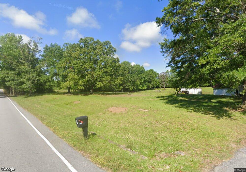
205 Cannery Rd Easley, SC 29640
Estimated Value: $141,000 - $355,574
4
Beds
1
Bath
1,250
Sq Ft
$219/Sq Ft
Est. Value
About This Home
This home is located at 205 Cannery Rd, Easley, SC 29640 and is currently estimated at $273,144, approximately $218 per square foot. 205 Cannery Rd is a home located in Pickens County with nearby schools including Dacusville Elementary School, Dacusville Middle School, and Pickens High School.
Ownership History
Date
Name
Owned For
Owner Type
Purchase Details
Closed on
May 17, 2013
Sold by
Watson Jack H and Robinson Margaret Ruth W
Bought by
Watson Ii Leland Ralph
Current Estimated Value
Home Financials for this Owner
Home Financials are based on the most recent Mortgage that was taken out on this home.
Original Mortgage
$95,004
Outstanding Balance
$19,747
Interest Rate
2.64%
Estimated Equity
$253,397
Purchase Details
Closed on
Aug 10, 2012
Sold by
Estate Of Marion Louise A Watson
Bought by
Watson Jack Hubert and Robinson Margaret Ruth W
Create a Home Valuation Report for This Property
The Home Valuation Report is an in-depth analysis detailing your home's value as well as a comparison with similar homes in the area
Home Values in the Area
Average Home Value in this Area
Purchase History
| Date | Buyer | Sale Price | Title Company |
|---|---|---|---|
| Watson Ii Leland Ralph | $96,660 | -- | |
| Watson Jack Hubert | -- | -- |
Source: Public Records
Mortgage History
| Date | Status | Borrower | Loan Amount |
|---|---|---|---|
| Open | Watson Ii Leland Ralph | $95,004 |
Source: Public Records
Tax History Compared to Growth
Tax History
| Year | Tax Paid | Tax Assessment Tax Assessment Total Assessment is a certain percentage of the fair market value that is determined by local assessors to be the total taxable value of land and additions on the property. | Land | Improvement |
|---|---|---|---|---|
| 2024 | $534 | $4,334 | $634 | $3,700 |
| 2023 | $534 | $4,334 | $634 | $3,700 |
| 2022 | $536 | $4,334 | $634 | $3,700 |
| 2021 | $554 | $4,334 | $634 | $3,700 |
| 2020 | $493 | $4,693 | $685 | $4,008 |
| 2019 | $502 | $4,334 | $634 | $3,700 |
| 2018 | $466 | $3,784 | $484 | $3,300 |
| 2017 | $453 | $3,784 | $484 | $3,300 |
| 2015 | $471 | $3,790 | $0 | $0 |
| 2008 | -- | $4,100 | $690 | $3,410 |
Source: Public Records
Map
Nearby Homes
- 1804 Jameson Rd
- 410 Hamilton Forest Dr
- 05 Hood Rd
- 06 Hood Rd
- 04 Hood Rd
- 03 Hood Rd
- 02 Hood Rd
- 01 Hood Rd
- 0 Hood Rd
- 201 Gibson Rd
- 1582 Cedar Rock Church Rd
- 309 Montague Dr
- Sullivan Plan at Montague Lakes
- Argyle Plan at Montague Lakes
- Bennett Plan at Montague Lakes
- Satterfield Plan at Montague Lakes
- Greenbrier Plan at Montague Lakes
- Ashepoo Plan at Montague Lakes
- Leighton Plan at Montague Lakes
- Claire Plan at Montague Lakes
- 220 Cannery Rd
- 228 Cannery Rd
- 2222 Farrs Bridge Rd
- 238 Cannery Rd
- 0 Yeoman Dr
- 302 Cannery Rd
- 158 Cannery Rd
- 1762 Dacusville Hwy
- 239 Yeoman Dr
- 1822 Dacusville Hwy
- 218 Yeoman Dr
- 238 Yeoman Dr
- 134 Cannery Rd
- 101 Dorr Cir
- 103 Dorr Cir
- 105 Dorr Cir
- 107 Dorr Cir
- 1743 Dacusville Hwy
- 100 Dorr Cir
- 109 Dorr Cir
