205 Capes Dr Tillamook, OR 97141
Estimated Value: $772,552 - $975,000
2
Beds
3
Baths
960
Sq Ft
$884/Sq Ft
Est. Value
About This Home
This home is located at 205 Capes Dr, Tillamook, OR 97141 and is currently estimated at $848,888, approximately $884 per square foot. 205 Capes Dr is a home with nearby schools including Tillamook High School.
Ownership History
Date
Name
Owned For
Owner Type
Purchase Details
Closed on
Oct 27, 2009
Sold by
Mascord Alan E and Mascord Donna R
Bought by
Stalsberg Charles K and Stalsberg Toni
Current Estimated Value
Home Financials for this Owner
Home Financials are based on the most recent Mortgage that was taken out on this home.
Original Mortgage
$246,000
Outstanding Balance
$158,666
Interest Rate
5%
Mortgage Type
New Conventional
Estimated Equity
$690,222
Create a Home Valuation Report for This Property
The Home Valuation Report is an in-depth analysis detailing your home's value as well as a comparison with similar homes in the area
Purchase History
| Date | Buyer | Sale Price | Title Company |
|---|---|---|---|
| Stalsberg Charles K | $390,000 | First American |
Source: Public Records
Mortgage History
| Date | Status | Borrower | Loan Amount |
|---|---|---|---|
| Open | Stalsberg Charles K | $246,000 |
Source: Public Records
Tax History
| Year | Tax Paid | Tax Assessment Tax Assessment Total Assessment is a certain percentage of the fair market value that is determined by local assessors to be the total taxable value of land and additions on the property. | Land | Improvement |
|---|---|---|---|---|
| 2025 | $6,118 | $478,150 | $218,020 | $260,130 |
| 2024 | $5,847 | $464,230 | $211,670 | $252,560 |
| 2023 | $5,825 | $450,710 | $205,500 | $245,210 |
| 2022 | $5,662 | $437,590 | $199,510 | $238,080 |
| 2021 | $5,532 | $424,850 | $193,700 | $231,150 |
| 2020 | $5,309 | $412,480 | $188,050 | $224,430 |
| 2019 | $5,314 | $400,470 | $182,570 | $217,900 |
| 2018 | $5,062 | $388,810 | $177,240 | $211,570 |
| 2017 | $4,979 | $378,340 | $166,530 | $211,810 |
| 2016 | $4,920 | $374,820 | $170,820 | $204,000 |
| 2015 | $4,710 | $353,310 | $172,220 | $181,090 |
| 2014 | $5,136 | $379,080 | $217,820 | $161,260 |
| 2013 | -- | $375,410 | $191,930 | $183,480 |
Source: Public Records
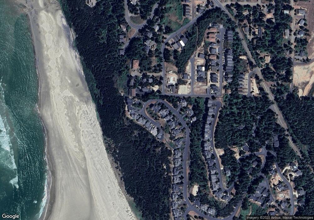
Map
Nearby Homes
- Lots 6,7,8 Glenwood St
- 110 Crescent St
- 5455 W Regent St
- 12 & 13 Crescent St
- 0 Crescent St Unit 12&13 614513147
- 120 Crescent St
- 110 Crescent St
- 355 Promontory Ln
- 140 Breezee Way
- 140 Breezee Way
- 0 Breezee Way Tl 2618
- 2620/2621 Breezee Way
- TL 2618 Breezee Way
- 0 Breezee Way Unit 2Lots 24287783
- 0 Glenwood St Unit Lts6-8
- 280 Hillsdale St
- 505 W Capes Loop Dr W
- 2500&2600 Netarts Oceanside Hwy W
- 505 Capes Dr Unit 2
- 505 Capes Dr Unit 3
- 195 Capes Dr
- 195 Capes Dr Unit The Capes
- 195 Capes Dr
- 215 Capes Dr
- 225 W Capes Dr
- 225 W Capes Dr Unit The Capes
- 225 Capes Dr
- 235 Capes Dr
- 235 Capes Dr Unit 63&64
- 235 Capes Dr
- 160 Capes Dr
- 140 Capes Dr
- 140 Capes Dr
- 1128 Glenwood St
- 170 Capes Dr
- 130 Capes Dr
- 180 Capes Dr
- 245 Capes Dr
- 245 Capes Dr
- 120 Capes Dr
Your Personal Tour Guide
Ask me questions while you tour the home.