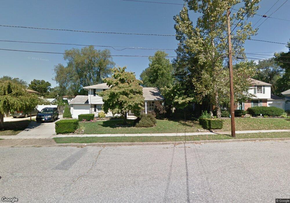
205 Carl Ave Beverly, NJ 08010
Estimated Value: $358,756 - $364,000
Studio
--
Bath
1,520
Sq Ft
$237/Sq Ft
Est. Value
About This Home
This home is located at 205 Carl Ave, Beverly, NJ 08010 and is currently estimated at $360,939, approximately $237 per square foot. 205 Carl Ave is a home located in Burlington County with nearby schools including Magowan Elementary School and Samuel M Ridgway School.
Ownership History
Date
Name
Owned For
Owner Type
Purchase Details
Closed on
Sep 30, 2003
Sold by
Brown Jeffrey E and Brown Joyce T
Bought by
Fisher David and Fisher Susan
Current Estimated Value
Home Financials for this Owner
Home Financials are based on the most recent Mortgage that was taken out on this home.
Original Mortgage
$187,400
Outstanding Balance
$87,092
Interest Rate
6.15%
Mortgage Type
FHA
Estimated Equity
$273,847
Create a Home Valuation Report for This Property
The Home Valuation Report is an in-depth analysis detailing your home's value as well as a comparison with similar homes in the area
Home Values in the Area
Average Home Value in this Area
Purchase History
| Date | Buyer | Sale Price | Title Company |
|---|---|---|---|
| Fisher David | $201,000 | Weichert Title |
Source: Public Records
Mortgage History
| Date | Status | Borrower | Loan Amount |
|---|---|---|---|
| Open | Fisher David | $187,400 |
Source: Public Records
Tax History
| Year | Tax Paid | Tax Assessment Tax Assessment Total Assessment is a certain percentage of the fair market value that is determined by local assessors to be the total taxable value of land and additions on the property. | Land | Improvement |
|---|---|---|---|---|
| 2025 | $7,229 | $208,500 | $66,600 | $141,900 |
| 2024 | $7,154 | $208,500 | $66,600 | $141,900 |
| 2023 | $7,154 | $208,500 | $66,600 | $141,900 |
| 2022 | $7,133 | $208,500 | $66,600 | $141,900 |
| 2021 | $7,020 | $208,500 | $66,600 | $141,900 |
| 2020 | $6,791 | $208,500 | $66,600 | $141,900 |
| 2019 | $6,600 | $214,500 | $72,600 | $141,900 |
| 2018 | $6,454 | $214,500 | $72,600 | $141,900 |
| 2017 | $6,332 | $214,500 | $72,600 | $141,900 |
| 2016 | $5,978 | $214,500 | $72,600 | $141,900 |
| 2015 | $5,759 | $214,500 | $72,600 | $141,900 |
| 2014 | $5,448 | $214,500 | $72,600 | $141,900 |
Source: Public Records
Map
Nearby Homes
- 212 E Franklin Ave
- 218 Cleveland Ave
- 400 S Arthur Dr
- 123 E Franklin Ave
- 214 Hendrickson Ave
- 419 Keim St
- 1000 Cooper St
- 48 Pine St
- 50 Pine St
- 718 Woodlane Rd
- 9 Warren St
- 636 Elizabeth St
- 409 N Garden Blvd
- 10 Belmont Ave
- 257 Warren St E
- 424 Jennings St
- 505 Jennings St
- 231 Woodlane Rd
- 58 Benford Ln
- 15 F Floyd Ave
- 207 Carl Ave
- 203 Carl Ave
- 206 E Franklin Ave
- 209 Carl Ave
- 201 Carl Ave
- 204 E Franklin Ave
- 208 E Franklin Ave
- 544 Otto Ave
- 545 Otto Ave
- 210 E Franklin Ave
- 418 Cherrix Ave
- 259 Hendrickson Ave
- 261 Hendrickson Ave
- 416 Cherrix Ave
- 200 Carl Ave
- 542 Otto Ave
- 257 Hendrickson Ave
- 200 E Franklin Ave
- 543 Otto Ave
- 414 Cherrix Ave
Your Personal Tour Guide
Ask me questions while you tour the home.