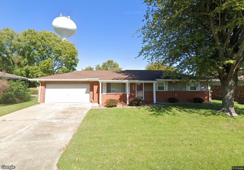
205 Chapel Dr Collinsville, IL 62234
Estimated Value: $166,000 - $252,000
4
Beds
2
Baths
1,288
Sq Ft
$162/Sq Ft
Est. Value
About This Home
This home is located at 205 Chapel Dr, Collinsville, IL 62234 and is currently estimated at $208,374, approximately $161 per square foot. 205 Chapel Dr is a home located in Madison County with nearby schools including John A Renfro Elementary School, Dorris Intermediate School, and Collinsville Middle School.
Ownership History
Date
Name
Owned For
Owner Type
Purchase Details
Closed on
Dec 12, 2017
Sold by
Newstrom Evans C and Newstorm Hildegard
Bought by
Wilshire Ryan M
Current Estimated Value
Home Financials for this Owner
Home Financials are based on the most recent Mortgage that was taken out on this home.
Original Mortgage
$72,000
Outstanding Balance
$60,633
Interest Rate
3.95%
Mortgage Type
New Conventional
Estimated Equity
$147,741
Create a Home Valuation Report for This Property
The Home Valuation Report is an in-depth analysis detailing your home's value as well as a comparison with similar homes in the area
Home Values in the Area
Average Home Value in this Area
Purchase History
| Date | Buyer | Sale Price | Title Company |
|---|---|---|---|
| Wilshire Ryan M | $90,000 | Abstracts & Titles |
Source: Public Records
Mortgage History
| Date | Status | Borrower | Loan Amount |
|---|---|---|---|
| Open | Wilshire Ryan M | $72,000 |
Source: Public Records
Tax History Compared to Growth
Tax History
| Year | Tax Paid | Tax Assessment Tax Assessment Total Assessment is a certain percentage of the fair market value that is determined by local assessors to be the total taxable value of land and additions on the property. | Land | Improvement |
|---|---|---|---|---|
| 2024 | $3,574 | $61,910 | $14,650 | $47,260 |
| 2023 | $3,574 | $56,610 | $13,330 | $43,280 |
| 2022 | $3,331 | $52,350 | $12,330 | $40,020 |
| 2021 | $2,983 | $49,180 | $11,580 | $37,600 |
| 2020 | $2,856 | $46,920 | $11,050 | $35,870 |
| 2019 | $2,552 | $42,270 | $10,310 | $31,960 |
| 2018 | $2,482 | $40,050 | $9,770 | $30,280 |
| 2017 | $2,113 | $39,260 | $9,580 | $29,680 |
| 2016 | $2,208 | $39,260 | $9,580 | $29,680 |
| 2015 | $2,554 | $38,240 | $9,330 | $28,910 |
| 2014 | $2,554 | $38,240 | $9,330 | $28,910 |
| 2013 | $2,554 | $38,240 | $9,330 | $28,910 |
Source: Public Records
Map
Nearby Homes
- 414 Bunker Hill Dr
- 0 N Keebler Ave
- 1224 Cedar Ridge Ct
- 203 Greenfield Dr
- 22 Brookwood Dr
- 10 White Lily Dr
- 5 Brookwood Dr
- 1120 Williams St
- 308 Brown Ave
- 1210 Constance St
- 617 N Morrison Ave
- 0 Strong Ave
- 706 Illinois Ave
- 123 W Wickliffe Ave
- 123 Elliot St
- 501 Spring
- 102 Toni Ct
- 1227 Ridge Ave
- 1121 Carraway Ct
- 2007 Belt Line Rd
- 203 Chapel Dr
- 207 Chapel Dr
- 1603 Saratoga Dr
- 1601 Saratoga Dr
- 111 Lexington Dr
- 204 Chapel Dr
- 109 Lexington Dr
- 208 Chapel Dr
- 202 Chapel Dr
- 1605 Saratoga Dr
- 7 Crestmont Dr
- 210 Chapel Dr
- 107 Lexington Dr
- 1513 Saratoga Dr
- 110 Lexington Dr
- 1602 Saratoga Dr
- 191 Chapel Dr
- 1604 Saratoga Dr
- 205 Yorktown Dr
- 203 Yorktown Dr