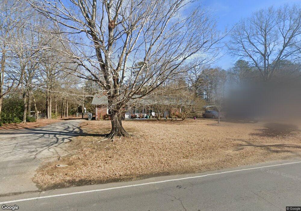
205 Clinton Ave Clover, SC 29710
Estimated Value: $217,067 - $352,000
--
Bed
--
Bath
1,689
Sq Ft
$167/Sq Ft
Est. Value
About This Home
This home is located at 205 Clinton Ave, Clover, SC 29710 and is currently estimated at $282,267, approximately $167 per square foot. 205 Clinton Ave is a home with nearby schools including Larne Elementary School, Clover Middle School, and Clover High School.
Ownership History
Date
Name
Owned For
Owner Type
Purchase Details
Closed on
Jan 11, 2021
Sold by
Curtis Karen M and Estate Of Doris Mccarter
Bought by
Mccarter Ronald B
Current Estimated Value
Purchase Details
Closed on
May 6, 2019
Sold by
Curtis Karen M
Bought by
Mccarter Michael Brooks and Mccarter William Britton
Purchase Details
Closed on
Nov 12, 2015
Sold by
Estate Of Hoyt Marvin Mccarter
Bought by
Curtis Karen M and Mccarter Ronald B
Create a Home Valuation Report for This Property
The Home Valuation Report is an in-depth analysis detailing your home's value as well as a comparison with similar homes in the area
Home Values in the Area
Average Home Value in this Area
Purchase History
| Date | Buyer | Sale Price | Title Company |
|---|---|---|---|
| Mccarter Ronald B | $120,000 | None Available | |
| Mccarter Michael Brooks | -- | None Available | |
| Curtis Karen M | -- | -- |
Source: Public Records
Tax History Compared to Growth
Tax History
| Year | Tax Paid | Tax Assessment Tax Assessment Total Assessment is a certain percentage of the fair market value that is determined by local assessors to be the total taxable value of land and additions on the property. | Land | Improvement |
|---|---|---|---|---|
| 2025 | $5,813 | $11,090 | $2,108 | $8,982 |
| 2024 | $4,960 | $9,644 | $1,440 | $8,204 |
| 2023 | $4,801 | $9,644 | $1,440 | $8,204 |
| 2022 | $6,393 | $13,935 | $1,440 | $12,495 |
| 2021 | -- | $8,526 | $1,440 | $7,086 |
| 2020 | $3,787 | $8,526 | $0 | $0 |
| 2019 | $3,057 | $6,540 | $0 | $0 |
| 2018 | $3,010 | $6,540 | $0 | $0 |
| 2017 | $2,889 | $6,540 | $0 | $0 |
| 2016 | $2,837 | $6,540 | $0 | $0 |
| 2014 | $2,840 | $6,540 | $1,440 | $5,100 |
| 2013 | $2,840 | $7,110 | $1,440 | $5,670 |
Source: Public Records
Map
Nearby Homes
- 0000 Bethel St
- 107 Mint St
- 113 Marion St
- 812 Generation Ln
- 814 Generation Ln
- 1050 Tom Joye Rd
- 312 Flat Rock St
- 221 N Main St
- 107 Pressley St
- 206 Mcconnell St
- 203 Kings Mountain St
- 1079 Tom Joye Rd
- 865 Saint Paul Church Rd
- 522 Kittiewake Ln
- 517 Kittiewake Ln
- 205 Kings Mountain St
- 285 Eagle Creek Rd
- 210 Smith St
- 7+/- Acres Forest St
- 208 Forest St
- 203 Clinton Ave
- 301 Clinton Ave
- 201 Clinton Ave
- 206 Clinton Ave
- 204 Clinton Ave
- 104 Belwood Dr
- 106 Belwood Dr
- 118 Woodland Dr
- 303 Clinton Ave
- 108 Belwood Dr
- 110 Belwood Dr
- 116 Woodland Dr
- 423 Knox St
- 305 Clinton Ave
- 114 Woodland Dr
- 108 Clinton Ave
- 421 Knox St
- 103 Belwood Dr
- 112 Woodland Dr
- 105 Clinton Ave