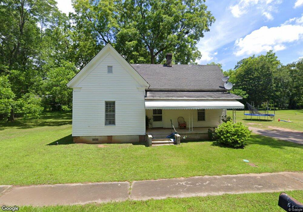
205 Dennis St Union Point, GA 30669
Estimated Value: $128,000 - $193,000
3
Beds
2
Baths
1,056
Sq Ft
$149/Sq Ft
Est. Value
About This Home
This home is located at 205 Dennis St, Union Point, GA 30669 and is currently estimated at $157,122, approximately $148 per square foot. 205 Dennis St is a home located in Greene County with nearby schools including Greene County High School.
Ownership History
Date
Name
Owned For
Owner Type
Purchase Details
Closed on
Apr 16, 2021
Sold by
Hill Jarius
Bought by
Positive Outlook Investments Llc
Current Estimated Value
Purchase Details
Closed on
Dec 23, 2020
Sold by
Johnson Real Estate Properties Llc
Bought by
Hill Jarius
Purchase Details
Closed on
Sep 21, 2017
Sold by
Allen Dennis N
Bought by
Johnson Real Estate Properties
Purchase Details
Closed on
Dec 17, 2007
Sold by
Allen Dennis N
Bought by
Allen Dennis N
Purchase Details
Closed on
Jan 1, 1988
Bought by
Allen Dennis N and Allen Donald R
Purchase Details
Closed on
Jan 1, 1969
Sold by
Allen R N
Purchase Details
Closed on
Jan 1, 1966
Bought by
Allen R N
Create a Home Valuation Report for This Property
The Home Valuation Report is an in-depth analysis detailing your home's value as well as a comparison with similar homes in the area
Purchase History
| Date | Buyer | Sale Price | Title Company |
|---|---|---|---|
| Positive Outlook Investments Llc | -- | -- | |
| Hill Jarius | $110,000 | -- | |
| Johnson Real Estate Properties | $19,000 | -- | |
| Allen Dennis N | -- | -- | |
| Allen Dennis N | -- | -- | |
| -- | -- | -- | |
| Allen R N | -- | -- |
Source: Public Records
Tax History
| Year | Tax Paid | Tax Assessment Tax Assessment Total Assessment is a certain percentage of the fair market value that is determined by local assessors to be the total taxable value of land and additions on the property. | Land | Improvement |
|---|---|---|---|---|
| 2025 | $1,160 | $41,880 | $5,000 | $36,880 |
| 2024 | $1,099 | $39,240 | $5,000 | $34,240 |
| 2023 | $818 | $38,560 | $5,000 | $33,560 |
| 2022 | $792 | $36,280 | $5,000 | $31,280 |
| 2021 | $426 | $33,440 | $5,000 | $28,440 |
| 2020 | $475 | $15,440 | $3,360 | $12,080 |
| 2019 | $489 | $15,440 | $3,360 | $12,080 |
| 2018 | $186 | $15,440 | $3,360 | $12,080 |
| 2017 | $218 | $15,478 | $3,375 | $12,103 |
| 2016 | $306 | $24,424 | $3,375 | $21,049 |
| 2015 | $275 | $24,424 | $3,375 | $21,049 |
| 2014 | $273 | $24,104 | $3,375 | $20,728 |
Source: Public Records
Map
Nearby Homes
- 509 Carlton Ave
- 202 Veazey St
- 405 Crawfordville Rd
- 0 Woodland Ct Unit 10543600
- 324 N Rhodes St
- 1160 Moody St
- 215 Hunter St
- 1241 Old Siloam Rd
- 1071 Alexander St
- 000 Washington Hwy
- 5401 Union Point Hwy
- 1201 Buffalo Lick Rd
- 0 Buffalo Lick Rd Unit 10551234
- 0 Buffalo Lick Rd Unit 10551325
- 0 Washington Hwy Unit 10686255
- 1581 Highway 77 S
- 1581 Highway 77 S Hwy
- 1251 Adams Rd
- 1251 Brick House Rd
- 1251 Brickhouse Rd
Your Personal Tour Guide
Ask me questions while you tour the home.