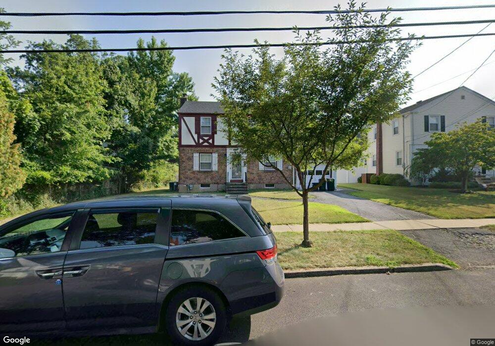
205 Dorchester Rd River Edge, NJ 07661
Estimated Value: $725,000 - $799,000
3
Beds
1
Bath
1,120
Sq Ft
$677/Sq Ft
Est. Value
About This Home
This home is located at 205 Dorchester Rd, River Edge, NJ 07661 and is currently estimated at $758,091, approximately $676 per square foot. 205 Dorchester Rd is a home located in Bergen County with nearby schools including Cherry Hill School, River Dell Middle School, and River Dell Regional High School.
Ownership History
Date
Name
Owned For
Owner Type
Purchase Details
Closed on
Nov 16, 2018
Sold by
Sala G Laura Est
Bought by
Boram Jeong Suyeon and Boram Lee
Current Estimated Value
Home Financials for this Owner
Home Financials are based on the most recent Mortgage that was taken out on this home.
Original Mortgage
$345,000
Outstanding Balance
$303,358
Interest Rate
4.8%
Mortgage Type
New Conventional
Estimated Equity
$454,733
Create a Home Valuation Report for This Property
The Home Valuation Report is an in-depth analysis detailing your home's value as well as a comparison with similar homes in the area
Home Values in the Area
Average Home Value in this Area
Purchase History
| Date | Buyer | Sale Price | Title Company |
|---|---|---|---|
| Boram Jeong Suyeon | $435,000 | -- |
Source: Public Records
Mortgage History
| Date | Status | Borrower | Loan Amount |
|---|---|---|---|
| Open | Boram Jeong Suyeon | $345,000 |
Source: Public Records
Tax History Compared to Growth
Tax History
| Year | Tax Paid | Tax Assessment Tax Assessment Total Assessment is a certain percentage of the fair market value that is determined by local assessors to be the total taxable value of land and additions on the property. | Land | Improvement |
|---|---|---|---|---|
| 2025 | $12,355 | $521,700 | $318,000 | $203,700 |
| 2024 | $12,046 | $311,600 | $188,000 | $123,600 |
| 2023 | $11,529 | $311,600 | $188,000 | $123,600 |
| 2022 | $11,529 | $311,600 | $188,000 | $123,600 |
| 2021 | $11,302 | $311,600 | $188,000 | $123,600 |
| 2020 | $11,124 | $311,600 | $188,000 | $123,600 |
| 2019 | $10,806 | $311,600 | $188,000 | $123,600 |
| 2018 | $10,579 | $311,600 | $188,000 | $123,600 |
| 2017 | $10,476 | $311,600 | $188,000 | $123,600 |
| 2016 | $10,239 | $311,600 | $188,000 | $123,600 |
| 2015 | $9,774 | $311,600 | $188,000 | $123,600 |
| 2014 | $9,793 | $311,600 | $188,000 | $123,600 |
Source: Public Records
Map
Nearby Homes
- 215 Kensington Rd
- 168 Voorhis Ave
- 421 Lafayette Ave
- 302 Howland Ave
- 276 Greenway Terrace
- 378 Windsor Rd
- 212 Lozier Terrace
- 12 Gainesborough Terrace Unit 1B
- 293 Bogert Rd Unit 1A
- 81 Eastbrook Dr
- 150 Village Cir E
- 1 Sipporta Ln
- 189 Forest Ave Unit 409
- 189 Forest Ave Unit 303
- 255 Bogert Rd Unit 2A
- 122 Village Cir E
- 222 Zabriskie Place
- 42 Howland Ave
- 214 Zabriskie Place
- 192 Valley Rd
- 209 Dorchester Rd
- 435 Elm Ave
- 206 Manchester Rd
- 210 Manchester Rd
- 429 Elm Ave
- 215 Dorchester Rd
- 216 Manchester Rd
- 206 Dorchester Rd
- 219 Dorchester Rd
- 210 Dorchester Rd
- 445 Elm Ave
- 440 Elm Ave
- 220 Manchester Rd
- 216 Dorchester Rd
- 225 Dorchester Rd
- 220 Dorchester Rd
- 226 Manchester Rd
- 183 Dorchester Rd
- 444 Elm Ave
- 205 Manchester Rd