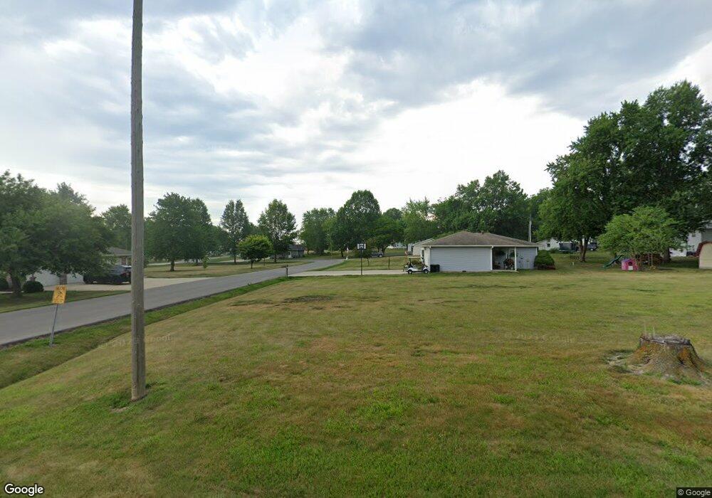
205 E 10th St Salisbury, MO 65281
Estimated Value: $138,569 - $247,000
Studio
--
Bath
--
Sq Ft
0.58
Acres
About This Home
This home is located at 205 E 10th St, Salisbury, MO 65281 and is currently estimated at $200,392. 205 E 10th St is a home with nearby schools including Salisbury Elementary School, Salisbury High School, and St. Joseph School.
Ownership History
Date
Name
Owned For
Owner Type
Purchase Details
Closed on
Jun 19, 2012
Sold by
Wright Michael R and Wright Kimberly A
Bought by
Wright Michael R and Wright Kimbelry A
Current Estimated Value
Home Financials for this Owner
Home Financials are based on the most recent Mortgage that was taken out on this home.
Original Mortgage
$68,000
Outstanding Balance
$28,263
Interest Rate
3.8%
Mortgage Type
New Conventional
Estimated Equity
$172,129
Purchase Details
Closed on
Apr 6, 2010
Sold by
Crevens Michelle Renae
Bought by
Wright Michael R and Elson Kimberly A
Create a Home Valuation Report for This Property
The Home Valuation Report is an in-depth analysis detailing your home's value as well as a comparison with similar homes in the area
Purchase History
| Date | Buyer | Sale Price | Title Company |
|---|---|---|---|
| Wright Michael R | -- | None Available | |
| Wright Michael R | -- | None Available |
Source: Public Records
Mortgage History
| Date | Status | Borrower | Loan Amount |
|---|---|---|---|
| Open | Wright Michael R | $68,000 |
Source: Public Records
Tax History
| Year | Tax Paid | Tax Assessment Tax Assessment Total Assessment is a certain percentage of the fair market value that is determined by local assessors to be the total taxable value of land and additions on the property. | Land | Improvement |
|---|---|---|---|---|
| 2025 | $1,180 | $16,950 | $0 | $0 |
| 2024 | $1,185 | $16,950 | $0 | $0 |
| 2023 | $1,181 | $89,200 | $0 | $0 |
| 2022 | $1,183 | $89,200 | $0 | $0 |
| 2021 | $1,190 | $89,200 | $0 | $0 |
| 2020 | $1,198 | $16,950 | $0 | $0 |
| 2019 | $1,200 | $0 | $0 | $0 |
| 2018 | $1,077 | $79,410 | $0 | $0 |
| 2017 | $1,083 | $79,410 | $0 | $0 |
| 2016 | $1,084 | $15,090 | $0 | $0 |
| 2015 | -- | $15,090 | $0 | $0 |
| 2014 | -- | $15,090 | $0 | $0 |
Source: Public Records
Map
Nearby Homes
- 1204 S Walnut Ave
- 606 E 4th St
- 32136 Missouri 129
- 0 County Road 152
- Hwy U Unit County Road 2045
- n/a Holman St
- 447 Holman St
- 112 S Rucker St
- 1041 Doeskin Ct
- Highway 24 Lot Unit WP001
- 0 24 Hwy Hwy Unit HMS2565633
- 1013 County Rd 2025
- 1506 County Road 2407
- 0 Cr 2407 Unit MIS26005245
- 0 Cr 2407 Unit MIS26005233
- 0 Cr 2407 Unit MIS26005238
- 0 Hwy J Unit 25955056
- 107 N Evans St
- 1 Hwy J & Namrash Rd
- 167 Cr 1145
- 1056 Morningside Dr
- 1065 Morningside Dr
- 1057 Morningside Dr
- 1050 Morningside Dr
- 1045 Morningside Dr
- 1003 Morningside Dr
- 1023 Morningside Dr
- 1048 Morningside Dr
- 24 Morningside Dr
- 1025 Morningside Dr
- 1039 Morningside Dr
- 1016 Morningside Dr
- 1033 Morningside Dr
- 1042 Morningside Dr
- 717 S Weber Ave
- 1005 Morningside Dr
- 1004 Morningside Dr
- 1010 Morningside Dr
- 1028 Morningside Dr
- 1040 Morningside Dr
