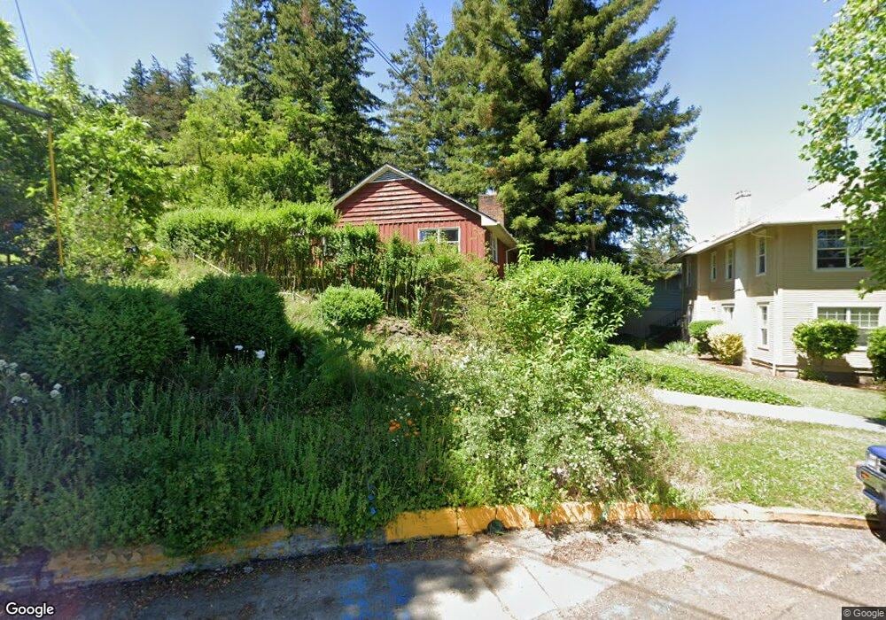
205 E 2nd Ave Eugene, OR 97401
Downtown Eugene NeighborhoodEstimated Value: $516,999 - $616,000
2
Beds
2
Baths
1,197
Sq Ft
$482/Sq Ft
Est. Value
About This Home
This home is located at 205 E 2nd Ave, Eugene, OR 97401 and is currently estimated at $576,500, approximately $481 per square foot. 205 E 2nd Ave is a home located in Lane County with nearby schools including Edison Elementary School, Roosevelt Middle School, and South Eugene High School.
Ownership History
Date
Name
Owned For
Owner Type
Purchase Details
Closed on
Jan 25, 2023
Sold by
Craig Living Trust
Bought by
205 E 2D Avenue Llc
Current Estimated Value
Purchase Details
Closed on
Feb 20, 2019
Sold by
Craie Lelano V
Bought by
Ceak Albert M
Purchase Details
Closed on
Mar 15, 2018
Sold by
Delp Shirley L
Bought by
Craig Albert M and Craig Leland J
Purchase Details
Closed on
Feb 26, 2018
Sold by
Delp Shiley L
Bought by
Criag Albert Morrie and Criag Leland James
Create a Home Valuation Report for This Property
The Home Valuation Report is an in-depth analysis detailing your home's value as well as a comparison with similar homes in the area
Home Values in the Area
Average Home Value in this Area
Purchase History
| Date | Buyer | Sale Price | Title Company |
|---|---|---|---|
| 205 E 2D Avenue Llc | -- | None Listed On Document | |
| Craig Living Trust | -- | -- | |
| Ceak Albert M | $1,000 | First American Title | |
| Craig Albert M | -- | None Listed On Document | |
| Criag Albert Morrie | $13,207 | None Available |
Source: Public Records
Tax History
| Year | Tax Paid | Tax Assessment Tax Assessment Total Assessment is a certain percentage of the fair market value that is determined by local assessors to be the total taxable value of land and additions on the property. | Land | Improvement |
|---|---|---|---|---|
| 2025 | $4,947 | $253,906 | -- | -- |
| 2024 | $4,886 | $246,511 | -- | -- |
| 2023 | $4,886 | $239,332 | -- | -- |
| 2022 | $4,577 | $232,362 | $0 | $0 |
| 2021 | $4,299 | $225,595 | $0 | $0 |
| 2020 | $4,314 | $219,025 | $0 | $0 |
| 2019 | $4,166 | $212,646 | $0 | $0 |
| 2018 | $3,922 | $200,440 | $0 | $0 |
| 2017 | $3,746 | $200,440 | $0 | $0 |
| 2016 | $3,653 | $194,602 | $0 | $0 |
| 2015 | $3,548 | $188,934 | $0 | $0 |
| 2014 | $3,477 | $183,431 | $0 | $0 |
Source: Public Records
Map
Nearby Homes
- 147 Shelton McMurphey Blvd
- 0 Unknown Unit 480745727
- 490 W 4th Ave
- 427 Washington St
- 2036 Eastwood Ln
- 875 Sand Ave
- 974 Lincoln St
- 211 Monroe St
- 9 N Monroe St Unit C
- 9 N Monroe St Unit B
- 9 N Monroe St Unit D
- 9 N Monroe St Unit A
- 280 W 11th Ave
- 1034 Lawrence St
- 961 Jefferson St
- 509 E 13th Ave
- 1230 Evening Star Ln
- 1282 Evening Star Ln
- 461 Blair Blvd
- 1375 Olive St Unit 503
- 235 E 2nd Ave Unit 2
- 208 E 2nd Ave
- 224 E 2nd Ave
- 259 E 2nd Ave
- 240 E 2nd Ave
- 106 High St Unit 18
- 122 High St Unit 10
- 200 E Cheshire Ave
- 124 High St Unit 9
- 275 E 2nd Ave
- 245 Pearl St
- 252 Pearl St
- 126 High St Unit 8
- 112 High St
- 132 High St Unit 5
- 114 High St Unit 14
- 116 High St Unit 7
- 188 High St
- 134 High St Unit 4
- 136 High St
Your Personal Tour Guide
Ask me questions while you tour the home.