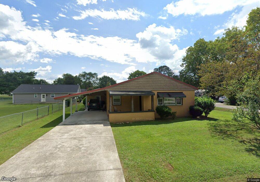
205 E 3rd St Stevenson, AL 35772
Estimated Value: $128,249 - $252,000
Studio
--
Bath
1,304
Sq Ft
$134/Sq Ft
Est. Value
About This Home
This home is located at 205 E 3rd St, Stevenson, AL 35772 and is currently estimated at $175,312, approximately $134 per square foot. 205 E 3rd St is a home with nearby schools including Stevenson Elementary School, Stevenson Middle School, and North Jackson High School.
Ownership History
Date
Name
Owned For
Owner Type
Purchase Details
Closed on
Apr 7, 2017
Sold by
Edwards Mccallie John D and Edwards Mccallie Sherry
Bought by
Denny Joan Elaine
Current Estimated Value
Home Financials for this Owner
Home Financials are based on the most recent Mortgage that was taken out on this home.
Original Mortgage
$108,890
Outstanding Balance
$90,182
Interest Rate
4.21%
Mortgage Type
Purchase Money Mortgage
Estimated Equity
$85,130
Purchase Details
Closed on
Sep 27, 2016
Sold by
Fnb Bank
Bought by
Edwards Mccallie John D and Edwards Mccallie Sherry
Purchase Details
Closed on
Aug 31, 2016
Sold by
Kirk Donnie Ray
Bought by
Fnb Bank
Create a Home Valuation Report for This Property
The Home Valuation Report is an in-depth analysis detailing your home's value as well as a comparison with similar homes in the area
Purchase History
| Date | Buyer | Sale Price | Title Company |
|---|---|---|---|
| Denny Joan Elaine | $110,900 | None Available | |
| Edwards Mccallie John D | $30,000 | None Available | |
| Fnb Bank | $24,406 | None Available |
Source: Public Records
Mortgage History
| Date | Status | Borrower | Loan Amount |
|---|---|---|---|
| Open | Denny Joan Elaine | $108,890 |
Source: Public Records
Tax History
| Year | Tax Paid | Tax Assessment Tax Assessment Total Assessment is a certain percentage of the fair market value that is determined by local assessors to be the total taxable value of land and additions on the property. | Land | Improvement |
|---|---|---|---|---|
| 2025 | $864 | $17,280 | $0 | $0 |
| 2024 | $864 | $16,160 | $0 | $0 |
| 2023 | $808 | $16,160 | $0 | $0 |
| 2022 | $808 | $16,160 | $0 | $0 |
| 2021 | $808 | $16,160 | $0 | $0 |
| 2020 | $680 | $13,600 | $0 | $0 |
| 2019 | $269 | $6,360 | $0 | $0 |
| 2018 | $269 | $6,360 | $0 | $0 |
| 2017 | $0 | $0 | $0 | $0 |
Source: Public Records
Map
Nearby Homes
- 302 Nebraska Ave
- 704 Nebraska Ave
- 211 Church St
- 144 Burch Ave
- +/-3 ac Cox Ave
- 00 County Road 75
- 1976 County Road 276
- Cr 75
- 103 County Road 166
- 0 County Road 135 Unit 25498670
- Hwy 72
- 2395 County Road 96
- 2801 County Road 96
- 44 Highway 117
- 20.5 acres County Road 491
- 2698 County Road 141
- 4 acres Alabama 277
- Tract 2 4610 County Road 81
- Tract 1 4610 County Road 81
- 930 County Road 181
- 302 Kentucky Ave
- 402 Nebraska Ave
- 207 E 4th St
- 304 Kentucky Ave
- 310 Kentucky Ave
- 308 Louisiana Ave
- 403 Louisiana Ave
- 406 Nebraska Ave
- 208 Louisiana Ave
- 405 Louisiana Ave
- 303 Kentucky Ave
- 301 E 2nd St
- 2204 Roseberry Dr
- 207 Louisiana Ave
- 407 Louisiana Ave
- 408 Louisiana Ave
- 302 E 2nd St
- 401 Nebraska Ave
- 303 Kansas Ave
- 207 Kansas Ave
Your Personal Tour Guide
Ask me questions while you tour the home.