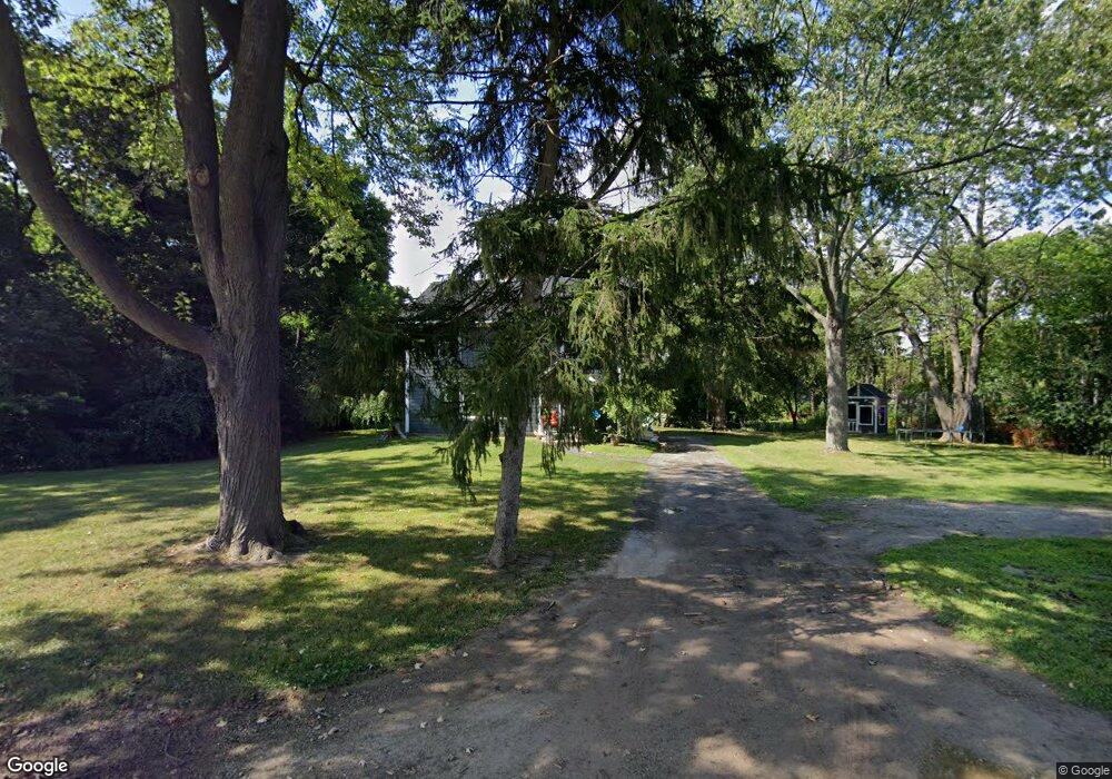
205 E Berkshire Rd Bloomfield Hills, MI 48302
Estimated Value: $286,000 - $407,000
4
Beds
2
Baths
1,768
Sq Ft
$189/Sq Ft
Est. Value
About This Home
This home is located at 205 E Berkshire Rd, Bloomfield Hills, MI 48302 and is currently estimated at $333,460, approximately $188 per square foot. 205 E Berkshire Rd is a home located in Oakland County with nearby schools including Eastover Elementary School, Bloomfield Hills High School, and Arts & Technology Academy of Pontiac.
Ownership History
Date
Name
Owned For
Owner Type
Purchase Details
Closed on
Sep 4, 2009
Sold by
Mortgage Electronic Registration Systems
Bought by
Federal National Mortgage Association
Current Estimated Value
Purchase Details
Closed on
Sep 1, 2009
Sold by
June Marie A
Bought by
Mortgage Electronic Registration Systems
Create a Home Valuation Report for This Property
The Home Valuation Report is an in-depth analysis detailing your home's value as well as a comparison with similar homes in the area
Home Values in the Area
Average Home Value in this Area
Purchase History
| Date | Buyer | Sale Price | Title Company |
|---|---|---|---|
| Federal National Mortgage Association | -- | None Available | |
| Mortgage Electronic Registration Systems | $78,927 | None Available |
Source: Public Records
Tax History Compared to Growth
Tax History
| Year | Tax Paid | Tax Assessment Tax Assessment Total Assessment is a certain percentage of the fair market value that is determined by local assessors to be the total taxable value of land and additions on the property. | Land | Improvement |
|---|---|---|---|---|
| 2024 | $880 | $96,200 | $0 | $0 |
| 2023 | $852 | $80,530 | $0 | $0 |
| 2022 | $1,601 | $75,150 | $0 | $0 |
| 2021 | $1,589 | $52,980 | $0 | $0 |
| 2020 | $779 | $54,420 | $0 | $0 |
| 2019 | $1,495 | $57,790 | $0 | $0 |
| 2018 | $1,502 | $57,270 | $0 | $0 |
| 2017 | $1,546 | $53,860 | $0 | $0 |
| 2016 | $1,495 | $53,210 | $0 | $0 |
| 2015 | -- | $50,830 | $0 | $0 |
| 2014 | -- | $42,780 | $0 | $0 |
| 2011 | -- | $33,370 | $0 | $0 |
Source: Public Records
Map
Nearby Homes
- 00 S Berkshire
- 95 Hillsdale Rd
- 200 Astorwood St
- 2449 Mulberry Square Unit 31
- 2383 Mulberry Square Unit 72
- 2449 Mulberry Square Unit 28
- 2442 Mulberry Square Unit 36
- 2665 Lahser Rd
- 200 Cedardale Ave
- 583 Going St
- 363 Sycamore Ct
- 136 Belroi Place
- 240 Applewood Ln
- 323 Ferry Ave
- 465 S Marshall St
- 567 Highland Ave
- 1987 Hunters Ridge Dr
- 447 S Marshall St
- 2863 Meadowood Ln
- 42160 Woodward Ave Unit 8
- 210 Highland Ave
- 228 Highland Ave
- 107 E Berkshire Rd
- 225 E Berkshire Rd
- 176 Highland Ave
- 246 Highland Ave
- 146 Highland Ave
- 1475 Winthrop Rd
- 0 Berkshire Dr
- 000 Berkshire Dr
- 245 E Berkshire Rd
- 268 Highland Ave
- 229 Highland Ave
- 175 Highland Ave
- 209 Highland Ave
- 245 Highland Ave
- 165 Highland Ave
- 257 Highland Ave
- 1515 Winthrop Rd
- 280 Highland Ave