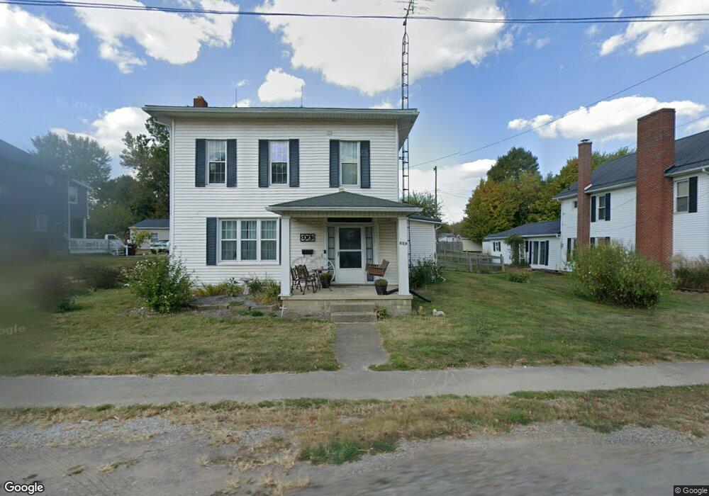
205 E Main St Danville, OH 43014
Estimated Value: $132,202 - $241,000
4
Beds
1
Bath
1,904
Sq Ft
$100/Sq Ft
Est. Value
About This Home
This home is located at 205 E Main St, Danville, OH 43014 and is currently estimated at $190,301, approximately $99 per square foot. 205 E Main St is a home with nearby schools including Danville Elementary School, Danville Middle School, and Danville High School.
Ownership History
Date
Name
Owned For
Owner Type
Purchase Details
Closed on
Jul 12, 2021
Sold by
Davis Ft
Bought by
Strouse Nathan L and Strouse Emily E
Current Estimated Value
Home Financials for this Owner
Home Financials are based on the most recent Mortgage that was taken out on this home.
Original Mortgage
$58,500
Outstanding Balance
$53,080
Interest Rate
2.9%
Mortgage Type
Purchase Money Mortgage
Estimated Equity
$137,221
Purchase Details
Closed on
Nov 5, 2010
Sold by
Davis Brenda Sue
Bought by
Davis Dale D and Davis Brenda S
Purchase Details
Closed on
Oct 20, 1995
Sold by
Strouse Therman W and Strouse He
Bought by
Strouse Helen L
Create a Home Valuation Report for This Property
The Home Valuation Report is an in-depth analysis detailing your home's value as well as a comparison with similar homes in the area
Home Values in the Area
Average Home Value in this Area
Purchase History
| Date | Buyer | Sale Price | Title Company |
|---|---|---|---|
| Strouse Nathan L | $65,000 | None Available | |
| Davis Dale D | -- | None Available | |
| Strouse Helen L | -- | -- |
Source: Public Records
Mortgage History
| Date | Status | Borrower | Loan Amount |
|---|---|---|---|
| Open | Strouse Nathan L | $58,500 |
Source: Public Records
Tax History Compared to Growth
Tax History
| Year | Tax Paid | Tax Assessment Tax Assessment Total Assessment is a certain percentage of the fair market value that is determined by local assessors to be the total taxable value of land and additions on the property. | Land | Improvement |
|---|---|---|---|---|
| 2024 | $1,243 | $33,580 | $8,890 | $24,690 |
| 2023 | $1,243 | $33,580 | $8,890 | $24,690 |
| 2022 | $1,153 | $26,650 | $7,060 | $19,590 |
| 2021 | $1,153 | $26,650 | $7,060 | $19,590 |
| 2020 | $1,092 | $26,650 | $7,060 | $19,590 |
| 2019 | $1,178 | $27,240 | $9,530 | $17,710 |
| 2018 | $1,185 | $27,240 | $9,530 | $17,710 |
| 2017 | $1,160 | $27,240 | $9,530 | $17,710 |
| 2016 | $1,073 | $25,220 | $8,820 | $16,400 |
| 2015 | $1,072 | $25,220 | $8,820 | $16,400 |
| 2014 | $1,076 | $25,220 | $8,820 | $16,400 |
| 2013 | $1,069 | $23,910 | $8,290 | $15,620 |
Source: Public Records
Map
Nearby Homes
- 228 E Walnut St
- 204 S Richards St
- 417 S Market St
- 106 W Rambo St
- 0 Howard-Danville Rd
- 13904 Carey Ln
- 0 Hoover Rd
- 15757 Hunter Rd
- 13356 Mowery Rd
- 29575 Hoover Rd
- 26301 Cavallo Rd
- 26083 Coshocton Rd
- 0 King Rd Unit 20250360
- 0 King Rd Unit 225019584
- 143 Grand Ridge Rd
- 15977 Mohaven Rd
- 733 Grand View Dr
- 0 Westmoreland Dr Unit 225036591
- 0 Westmoreland Dr Unit 225024813
- 0 Westmoreland Dr Unit 20250682