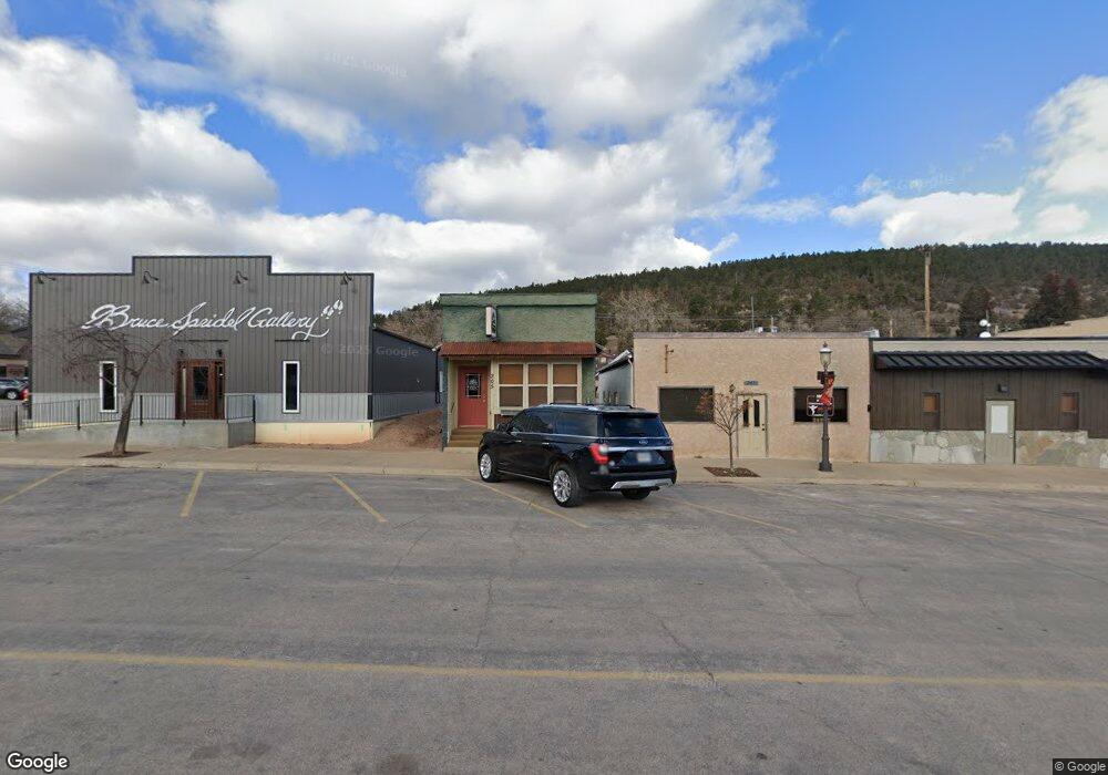
205 E Main St Sundance, WY 82729
Estimated Value: $144,055
Studio
--
Bath
686
Sq Ft
$210/Sq Ft
Est. Value
About This Home
This home is located at 205 E Main St, Sundance, WY 82729 and is currently estimated at $144,055, approximately $209 per square foot. 205 E Main St is a home located in Crook County with nearby schools including Hulett School, Bear Lodge High School, and Sundance Secondary School.
Ownership History
Date
Name
Owned For
Owner Type
Purchase Details
Closed on
Jun 2, 2025
Sold by
Seeley Skye and Aragon Mckennon
Bought by
Seeley Skye and Aragon Mckennon
Current Estimated Value
Purchase Details
Closed on
Dec 11, 2024
Sold by
Jester Properties Llc
Bought by
Seeley Skye and Aragon Mckennon
Purchase Details
Closed on
Feb 13, 2020
Sold by
Bannister David E and Bannister Mary J
Bought by
Jester Properties Llc
Purchase Details
Closed on
Oct 1, 2015
Sold by
Pridgeon Trudy J and Pridgeon Thomas H
Bought by
Bannister David E and Bannister Mary J
Purchase Details
Closed on
May 1, 2007
Sold by
Crago Kyra J
Bought by
Pridgeon Trudy J and Pridgeon Thomas H
Create a Home Valuation Report for This Property
The Home Valuation Report is an in-depth analysis detailing your home's value as well as a comparison with similar homes in the area
Purchase History
| Date | Buyer | Sale Price | Title Company |
|---|---|---|---|
| Seeley Skye | -- | None Listed On Document | |
| Seeley Skye | -- | None Listed On Document | |
| Seeley Skye | -- | None Listed On Document | |
| Jester Properties Llc | -- | None Available | |
| Bannister David E | -- | First American Title | |
| Pridgeon Trudy J | -- | None Available |
Source: Public Records
Tax History
| Year | Tax Paid | Tax Assessment Tax Assessment Total Assessment is a certain percentage of the fair market value that is determined by local assessors to be the total taxable value of land and additions on the property. | Land | Improvement |
|---|---|---|---|---|
| 2025 | $703 | $8,991 | $2,431 | $6,560 |
| 2024 | $703 | $9,526 | $2,431 | $7,095 |
| 2023 | $563 | $9,974 | $2,412 | $7,562 |
| 2022 | $563 | $7,980 | $2,046 | $5,934 |
| 2021 | $576 | $8,168 | $2,234 | $5,934 |
| 2020 | $569 | $8,071 | $2,137 | $5,934 |
| 2019 | -- | $8,370 | $2,095 | $6,275 |
| 2018 | $0 | $7,949 | $2,333 | $5,616 |
| 2017 | $0 | $6,940 | $1,563 | $5,377 |
| 2016 | -- | $4,889 | $826 | $4,063 |
| 2015 | -- | $5,453 | $826 | $4,627 |
| 2014 | -- | $5,314 | $826 | $4,488 |
Source: Public Records
Map
Nearby Homes
- 101 N 3rd St
- 305 S 5th St
- 618 E Cleveland St
- 922 S West St
- 106 W Lincoln St
- 17 Other
- 330 U S 14
- 17 Longabaugh Rd
- 1117 Patriot Place
- Tbd Sugar Loaf Ct
- L1 High Mile Rd
- L3 High Mile Rd
- 138 Commercial Ln
- Lot 6 Commercial Ln
- 0000 Commercial Ln
- 143 Commercial Ln
- TBD E Cleveland St
- TBD Reynolds Rd
- Tract 5 Old Sundance Rd
- 115 Bowers Rd
Your Personal Tour Guide
Ask me questions while you tour the home.