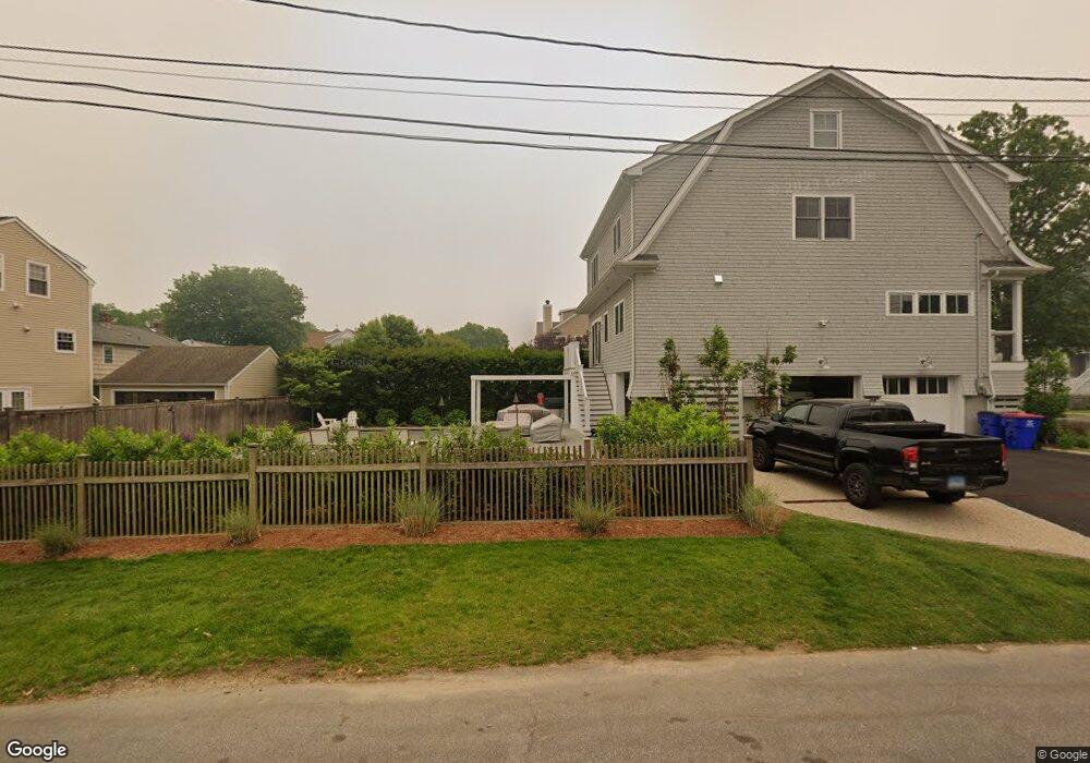
205 E Paulding St Fairfield, CT 06824
Fairfield Beach NeighborhoodEstimated Value: $1,291,000 - $1,842,000
4
Beds
4
Baths
2,820
Sq Ft
$572/Sq Ft
Est. Value
About This Home
This home is located at 205 E Paulding St, Fairfield, CT 06824 and is currently estimated at $1,613,402, approximately $572 per square foot. 205 E Paulding St is a home located in Fairfield County with nearby schools including Roger Sherman Elementary School, Roger Ludlowe Middle School, and Fairfield Ludlowe High School.
Ownership History
Date
Name
Owned For
Owner Type
Purchase Details
Closed on
Jun 30, 2003
Sold by
Baldwin Scott
Bought by
Paoletta Thomas J and Paoletta Linda M
Current Estimated Value
Create a Home Valuation Report for This Property
The Home Valuation Report is an in-depth analysis detailing your home's value as well as a comparison with similar homes in the area
Home Values in the Area
Average Home Value in this Area
Purchase History
| Date | Buyer | Sale Price | Title Company |
|---|---|---|---|
| Paoletta Thomas J | $685,000 | -- | |
| Paoletta Thomas J | $685,000 | -- |
Source: Public Records
Mortgage History
| Date | Status | Borrower | Loan Amount |
|---|---|---|---|
| Open | Paoletta Thomas J | $200,000 | |
| Open | Paoletta Thomas J | $390,000 |
Source: Public Records
Tax History
| Year | Tax Paid | Tax Assessment Tax Assessment Total Assessment is a certain percentage of the fair market value that is determined by local assessors to be the total taxable value of land and additions on the property. | Land | Improvement |
|---|---|---|---|---|
| 2025 | $18,655 | $657,090 | $421,960 | $235,130 |
| 2024 | $18,304 | $656,040 | $421,960 | $234,080 |
| 2023 | $18,048 | $656,040 | $421,960 | $234,080 |
| 2022 | $17,871 | $656,040 | $421,960 | $234,080 |
| 2021 | $17,700 | $656,040 | $421,960 | $234,080 |
| 2020 | $17,722 | $661,500 | $389,690 | $271,810 |
| 2019 | $17,722 | $661,500 | $389,690 | $271,810 |
| 2018 | $17,437 | $661,500 | $389,690 | $271,810 |
| 2017 | $16,290 | $630,910 | $389,690 | $241,220 |
| 2016 | $16,057 | $630,910 | $389,690 | $241,220 |
| 2015 | $16,178 | $652,610 | $406,490 | $246,120 |
| 2014 | $15,924 | $652,610 | $406,490 | $246,120 |
Source: Public Records
Map
Nearby Homes
- 126 Lalley Blvd
- 378 Penfield Rd
- 394 Penfield Rd
- 345 Reef Rd Unit B6
- 345 Reef Rd Unit C9
- 187 Catherine Terrace
- 783 Reef Rd
- 88 Veres St
- 117 Forest Ave
- 110 Pratt St
- 855 Riverside Dr
- 598 S Benson Rd
- 127 Paul Place
- 110 Alden St
- 2 Mellow St
- 28 Michaela Cir
- 245 Unquowa Rd Unit 2
- 245 Unquowa Rd Unit 82
- 245 Unquowa Rd Unit 6
- 464 Ruane St
- 23 Birch Rd
- 237 Penfield Rd
- 251 Penfield Rd
- 42 E Paulding St
- 39 Birch Rd
- 267 Penfield Rd
- 51 Birch Rd
- 213 Penfield Rd
- 281 Penfield Rd
- 69 Birch Rd
- 295 Penfield Rd
- 278 Penfield Rd
- 264 Penfield Rd
- 230 Penfield Rd
- 17 Paulding St
- 309 Penfield Rd
- 296 Penfield Rd
- 201 Penfield Rd
- 180 Penfield Rd
- 310 Penfield Rd
Your Personal Tour Guide
Ask me questions while you tour the home.