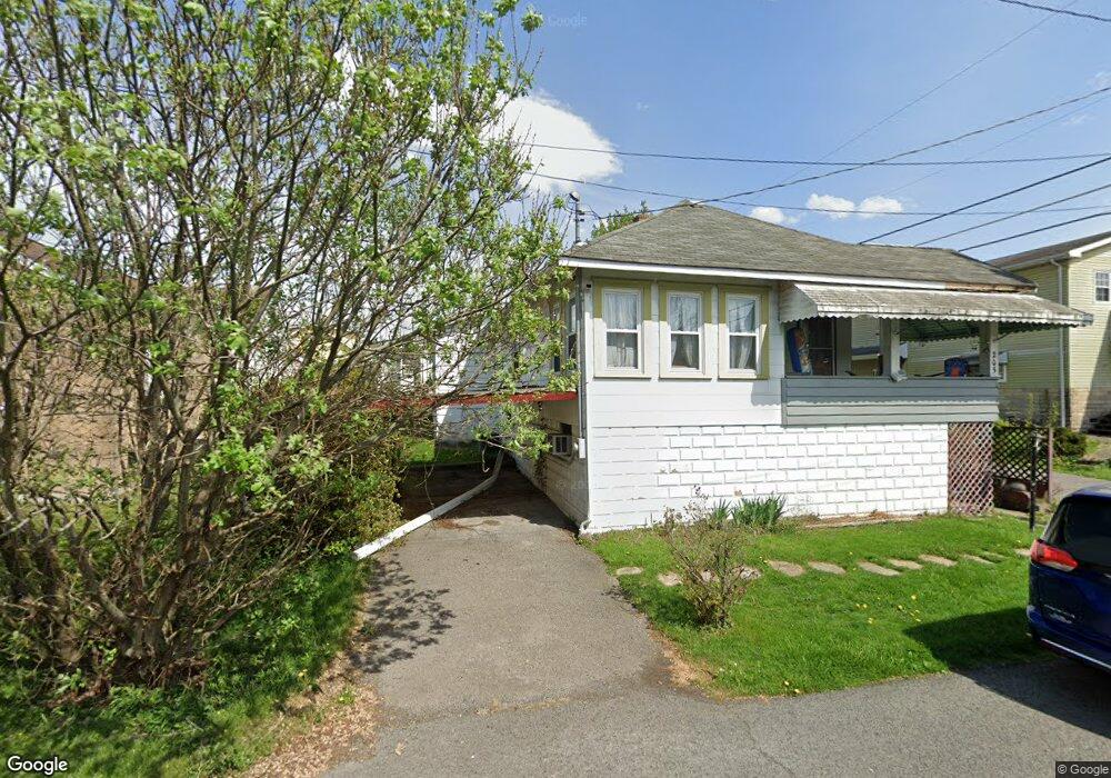
205 Edison St Fairmont, WV 26554
Estimated Value: $74,000 - $135,000
2
Beds
1
Bath
1,615
Sq Ft
$69/Sq Ft
Est. Value
About This Home
This home is located at 205 Edison St, Fairmont, WV 26554 and is currently estimated at $111,161, approximately $68 per square foot. 205 Edison St is a home located in Marion County with nearby schools including Barrackville Elementary/Middle School, North Marion High School, and Fairmont Catholic Grade School.
Ownership History
Date
Name
Owned For
Owner Type
Purchase Details
Closed on
Oct 21, 2021
Sold by
The Huntington National Bank
Bought by
Lenn Dreama S
Current Estimated Value
Home Financials for this Owner
Home Financials are based on the most recent Mortgage that was taken out on this home.
Original Mortgage
$40,851
Outstanding Balance
$37,617
Interest Rate
3.5%
Mortgage Type
New Conventional
Estimated Equity
$73,544
Purchase Details
Closed on
Jun 3, 2011
Sold by
Ware Mary Louse and Isner Kathleen A
Bought by
Ware Mary Louise and Isner Kathleen A
Create a Home Valuation Report for This Property
The Home Valuation Report is an in-depth analysis detailing your home's value as well as a comparison with similar homes in the area
Home Values in the Area
Average Home Value in this Area
Purchase History
| Date | Buyer | Sale Price | Title Company |
|---|---|---|---|
| Lenn Dreama S | $45,900 | Bestitle Agency Inc | |
| Ware Mary Louise | -- | -- |
Source: Public Records
Mortgage History
| Date | Status | Borrower | Loan Amount |
|---|---|---|---|
| Open | Lenn Dreama S | $40,851 |
Source: Public Records
Tax History Compared to Growth
Tax History
| Year | Tax Paid | Tax Assessment Tax Assessment Total Assessment is a certain percentage of the fair market value that is determined by local assessors to be the total taxable value of land and additions on the property. | Land | Improvement |
|---|---|---|---|---|
| 2024 | $800 | $51,840 | $10,860 | $40,980 |
| 2023 | $767 | $50,100 | $10,860 | $39,240 |
| 2022 | $1,439 | $48,360 | $10,860 | $37,500 |
| 2021 | $1,334 | $45,300 | $10,860 | $34,440 |
| 2020 | $1,290 | $43,620 | $10,860 | $32,760 |
| 2019 | $1,253 | $41,760 | $10,860 | $30,900 |
| 2018 | $1,301 | $43,620 | $10,860 | $32,760 |
| 2017 | $1,261 | $42,660 | $10,500 | $32,160 |
| 2016 | $1,250 | $42,420 | $11,400 | $31,020 |
| 2015 | $626 | $42,180 | $12,540 | $29,640 |
| 2014 | $634 | $42,660 | $13,440 | $29,220 |
Source: Public Records
Map
Nearby Homes
- 107 Hess Ave
- 109 & 109.5 Highland Ave
- 116 Russell St
- 1400 Pennsylvania Ave
- 104,105, & 106 Trolley St
- 402 Lehman Ave
- 44 Holbert Ave
- 0 Holbert Ave
- 0 Garrett Ave
- 336 Maple Ave
- 0 Afr Rd
- 208 Maple Ave
- 0 Montgomery Ave
- 449 Hampton Rd
- 140 Chestnut St
- TBD Maple Run
- 00 Hoult Rd
- 0 Hoult Rd
- 294 Trolley St
- 0 Monroe St
- 203 Edison St
- 101 Murray Ave
- 105 Murray Ave
- 107 Murray Ave
- 204 Buffalo Ave
- 700 Edison St
- 102 Murray Ave
- 114 Buffalo Ave
- 109 Murray Ave
- 510 Buffalo Ave
- 206 Buffalo Ave
- 412 Buffalo Ave
- 104 Murray Ave
- 112 Buffalo Ave
- 29 Murray Ave
- 106 Murray Ave
- 110 Buffalo Ave
- 113 Murray Ave
- 108 Murray Ave
- 205 Buffalo Ave