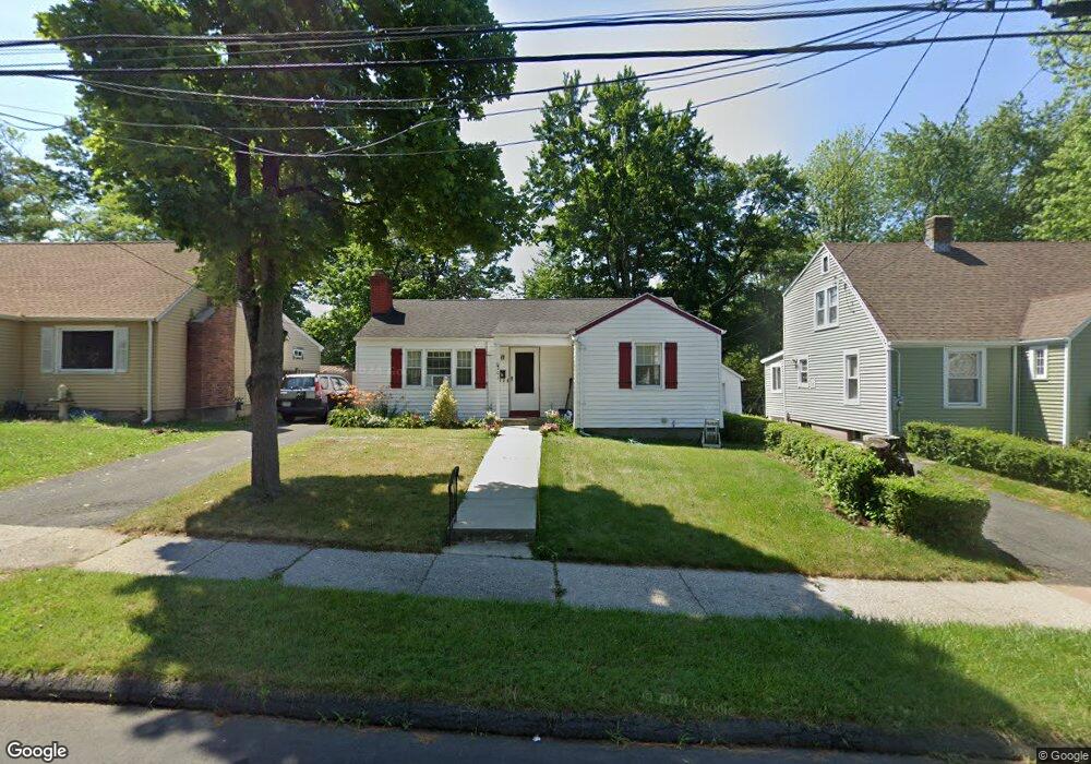
205 Euclid St W Hartford, CT 06112
Blue Hills NeighborhoodEstimated Value: $235,975 - $264,000
3
Beds
1
Bath
1,012
Sq Ft
$244/Sq Ft
Est. Value
About This Home
This home is located at 205 Euclid St W, Hartford, CT 06112 and is currently estimated at $246,744, approximately $243 per square foot. 205 Euclid St W is a home located in Hartford County with nearby schools including Rawson School, Noah Webster Micro Society School, and McKinley School.
Create a Home Valuation Report for This Property
The Home Valuation Report is an in-depth analysis detailing your home's value as well as a comparison with similar homes in the area
Home Values in the Area
Average Home Value in this Area
Tax History Compared to Growth
Tax History
| Year | Tax Paid | Tax Assessment Tax Assessment Total Assessment is a certain percentage of the fair market value that is determined by local assessors to be the total taxable value of land and additions on the property. | Land | Improvement |
|---|---|---|---|---|
| 2025 | $3,963 | $57,477 | $4,925 | $52,552 |
| 2024 | $3,963 | $57,477 | $4,925 | $52,552 |
| 2023 | $3,963 | $57,477 | $4,925 | $52,552 |
| 2022 | $3,963 | $57,478 | $4,925 | $52,553 |
| 2021 | $3,003 | $40,425 | $5,845 | $34,580 |
| 2020 | $3,003 | $40,425 | $5,845 | $34,580 |
| 2019 | $3,003 | $40,425 | $5,845 | $34,580 |
| 2018 | $2,902 | $39,062 | $5,648 | $33,414 |
| 2016 | $2,927 | $39,393 | $5,379 | $34,014 |
| 2015 | $2,788 | $37,522 | $5,124 | $32,398 |
| 2014 | $2,719 | $36,604 | $4,998 | $31,606 |
Source: Public Records
Map
Nearby Homes
- 171 N Canaan St
- 180 Brookline Ave
- 147 Morningside St W
- 70 Burnham St Unit 72
- 77 Harold St
- 86 Hartland St
- 179 Manchester St
- 90 Manchester St
- 125 Lebanon St Unit 127
- 355 Cornwall St Unit 357
- 11 Pershing St Unit 13
- 30 Harding Ave
- 53 Hillcrest Ave
- 181 Westminster St
- 10 Baltic St Unit 12
- 67 Elizabeth Ave
- 36 Baltic St Unit 38
- 97 E Burnham St
- 218 Holcomb St Unit 220
- 97 Boothbay St