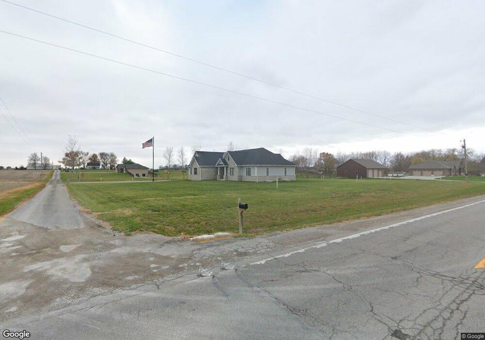
205 Eversgerd Ln Bartelso, IL 62218
Estimated Value: $56,000 - $506,757
Studio
--
Bath
--
Sq Ft
93,654
Sq Ft Lot
About This Home
This home is located at 205 Eversgerd Ln, Bartelso, IL 62218 and is currently estimated at $233,586. 205 Eversgerd Ln is a home with nearby schools including Bartelso Elementary School and Central Community High School.
Ownership History
Date
Name
Owned For
Owner Type
Purchase Details
Closed on
Jul 10, 2020
Sold by
Carpenter Shawn J
Bought by
Carpenter Shawn J and Carpenter Jennifer J
Current Estimated Value
Home Financials for this Owner
Home Financials are based on the most recent Mortgage that was taken out on this home.
Original Mortgage
$450,000
Outstanding Balance
$399,771
Interest Rate
3.2%
Mortgage Type
Construction
Estimated Equity
-$166,185
Purchase Details
Closed on
May 15, 2014
Sold by
Mueller Daniel
Bought by
Gerdes Tom and Gerdes Karen
Purchase Details
Closed on
Jan 22, 2014
Sold by
Mueller Melvin F and Mueller Daniel
Bought by
Mueller Daniel
Create a Home Valuation Report for This Property
The Home Valuation Report is an in-depth analysis detailing your home's value as well as a comparison with similar homes in the area
Purchase History
| Date | Buyer | Sale Price | Title Company |
|---|---|---|---|
| Carpenter Shawn J | -- | Community Title | |
| Gerdes Tom | $27,000 | None Available | |
| Mueller Daniel | -- | None Available |
Source: Public Records
Mortgage History
| Date | Status | Borrower | Loan Amount |
|---|---|---|---|
| Open | Carpenter Shawn J | $450,000 |
Source: Public Records
Tax History
| Year | Tax Paid | Tax Assessment Tax Assessment Total Assessment is a certain percentage of the fair market value that is determined by local assessors to be the total taxable value of land and additions on the property. | Land | Improvement |
|---|---|---|---|---|
| 2024 | $9,795 | $155,340 | $20,320 | $135,020 |
| 2023 | $9,795 | $147,940 | $19,350 | $128,590 |
| 2022 | $9,601 | $144,910 | $11,180 | $133,730 |
| 2021 | $6,341 | $86,920 | $10,750 | $76,170 |
| 2020 | $30 | $400 | $400 | $0 |
| 2019 | $25 | $334 | $334 | $0 |
| 2018 | $21 | $271 | $271 | $0 |
| 2017 | $17 | $214 | $214 | $0 |
| 2016 | $13 | $162 | $162 | $0 |
| 2015 | -- | $115 | $115 | $0 |
Source: Public Records
Map
Nearby Homes
- 1102 Cherry St
- 5957 State Route 161
- 0 Redwood St
- 270 Locust St
- 9775 Dogwood Dr
- 904 Sycamore St
- 654 S 7th St
- 363 S Walnut St
- 10520 Vonder Haar Ln
- 1031 N 1st St
- 320 N Oak St
- 889 N 1st St
- 534 S 2nd St
- 210 N Elm St
- 16617 Pembrooke Ct
- 16743 Ashland Ct
- 337 N 2nd St
- 265 N 1st St
- 611 23rd St
- 1910 Franklin St
- 1300 Carlyle Rd
- 1226 Carlyle Rd
- 208 Wilshire Dr
- 211 Devonshire Dr
- 307 Eversgerd Ln
- 209 Wilshire Dr
- 210 Devonshire Dr
- 204 Wilshire Dr
- 207 Devonshire Dr
- 205 Wilshire Dr
- 1203 Carlyle Rd
- 206 Devonshire Dr
- 206 Devonshire Dr
- 209 Kaskaskia Dr
- 1112 Carlyle Rd
- 1110 Carlyle Rd
- 203 Devonshire Dr
- 201 Wilshire Dr
- 205 Kaskaskia Dr
- 202 Devonshire Dr
Your Personal Tour Guide
Ask me questions while you tour the home.