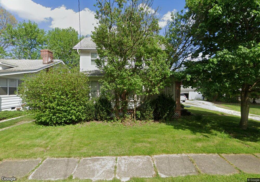
205 Highpoint Ave Akron, OH 44312
Ellet NeighborhoodEstimated Value: $144,000 - $167,559
3
Beds
2
Baths
1,456
Sq Ft
$109/Sq Ft
Est. Value
About This Home
This home is located at 205 Highpoint Ave, Akron, OH 44312 and is currently estimated at $159,390, approximately $109 per square foot. 205 Highpoint Ave is a home located in Summit County with nearby schools including Ellet High School, Summit Academy Akron Elementary School, and Akron Preparatory school.
Ownership History
Date
Name
Owned For
Owner Type
Purchase Details
Closed on
Feb 21, 2020
Sold by
Postma David F and Postma Michelle A
Bought by
Postma David F and Postma Michele A
Current Estimated Value
Purchase Details
Closed on
Sep 9, 2013
Sold by
Breen Joseph S and Miller Kristen L
Bought by
Breen Joseph S and The Breen Family Trust
Purchase Details
Closed on
Jan 7, 2005
Sold by
Breen Susan J
Bought by
Postma David F and Postma Michele A
Purchase Details
Closed on
Sep 5, 2003
Sold by
Burdick Herbert F and Burdick Carol E
Bought by
Breen Susan J
Create a Home Valuation Report for This Property
The Home Valuation Report is an in-depth analysis detailing your home's value as well as a comparison with similar homes in the area
Home Values in the Area
Average Home Value in this Area
Purchase History
| Date | Buyer | Sale Price | Title Company |
|---|---|---|---|
| Postma David F | -- | First Security Title Corp | |
| Breen Joseph S | -- | None Available | |
| Postma David F | $75,400 | Guardian Title | |
| Breen Susan J | $85,000 | Guardian Title & Guaranty Ag |
Source: Public Records
Tax History
| Year | Tax Paid | Tax Assessment Tax Assessment Total Assessment is a certain percentage of the fair market value that is determined by local assessors to be the total taxable value of land and additions on the property. | Land | Improvement |
|---|---|---|---|---|
| 2024 | $2,613 | $48,248 | $11,288 | $36,960 |
| 2023 | $2,613 | $48,248 | $11,288 | $36,960 |
| 2022 | $2,523 | $36,554 | $8,554 | $28,000 |
| 2021 | $2,620 | $36,554 | $8,554 | $28,000 |
| 2020 | $2,638 | $37,390 | $9,390 | $28,000 |
Source: Public Records
Map
Nearby Homes
- 187 Highpoint Ave
- 2331 E Market St
- 228 Hawk Ave
- 84 Pfeiffer Ave
- 110 Eastholm Ave
- 2269 Emerald Dr
- 2382 Mogadore Rd
- 26 Ansel Ave
- 42 Woolf Ave
- 37 Ansel Ave
- 260 Prairie Dr
- 2258 Mogadore Rd
- 147 Woolf Ave
- 114 Davenport Ave
- 2541 Edgebrook Ave
- 20 Verdun Dr
- 111 Akers Ave
- 210 Davenport Ave
- 2138 Forest Oak Dr
- 2199 Kelty Ct Unit 29
- 205 Highpoint Ave
- 201 Highpoint Ave
- 199 Highpoint Ave
- 213 Highpoint Ave
- 204 Tudor Ave
- 210 Tudor Ave
- 194 Tudor Ave
- 193 Highpoint Ave
- 206 Highpoint Ave
- 202 Highpoint Ave
- 214 Tudor Ave
- 212 Highpoint Ave
- 188 Tudor Ave
- 220 Tudor Ave
- 225 Highpoint Ave
- 190 Highpoint Ave
- 222 Highpoint Ave
- 181 Highpoint Ave
- 229 Highpoint Ave
- 226 Highpoint Ave
Your Personal Tour Guide
Ask me questions while you tour the home.