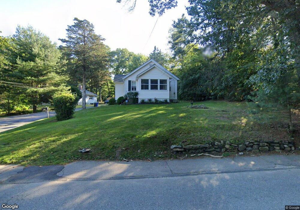
205 Hopedale St Hopedale, MA 01747
Estimated Value: $349,000 - $393,000
1
Bed
1
Bath
853
Sq Ft
$431/Sq Ft
Est. Value
About This Home
This home is located at 205 Hopedale St, Hopedale, MA 01747 and is currently estimated at $367,618, approximately $430 per square foot. 205 Hopedale St is a home located in Worcester County with nearby schools including Memorial Elementary School, Hopedale Jr Sr High School, and Bethany Christian Academy.
Ownership History
Date
Name
Owned For
Owner Type
Purchase Details
Closed on
Dec 22, 2009
Sold by
Mccarthy Kimberly A
Bought by
Hinchliffe Kelly L
Current Estimated Value
Home Financials for this Owner
Home Financials are based on the most recent Mortgage that was taken out on this home.
Original Mortgage
$167,902
Outstanding Balance
$110,745
Interest Rate
5.12%
Mortgage Type
FHA
Estimated Equity
$256,873
Create a Home Valuation Report for This Property
The Home Valuation Report is an in-depth analysis detailing your home's value as well as a comparison with similar homes in the area
Home Values in the Area
Average Home Value in this Area
Purchase History
| Date | Buyer | Sale Price | Title Company |
|---|---|---|---|
| Hinchliffe Kelly L | $171,000 | -- |
Source: Public Records
Mortgage History
| Date | Status | Borrower | Loan Amount |
|---|---|---|---|
| Open | Hinchliffe Kelly L | $167,902 |
Source: Public Records
Tax History Compared to Growth
Tax History
| Year | Tax Paid | Tax Assessment Tax Assessment Total Assessment is a certain percentage of the fair market value that is determined by local assessors to be the total taxable value of land and additions on the property. | Land | Improvement |
|---|---|---|---|---|
| 2025 | $5,272 | $317,400 | $160,700 | $156,700 |
| 2024 | $5,025 | $302,700 | $153,000 | $149,700 |
| 2023 | $4,580 | $283,600 | $150,500 | $133,100 |
| 2022 | $4,485 | $262,100 | $137,900 | $124,200 |
| 2021 | $4,262 | $238,500 | $125,400 | $113,100 |
| 2020 | $4,114 | $236,300 | $125,400 | $110,900 |
| 2019 | $3,821 | $217,500 | $119,900 | $97,600 |
| 2018 | $3,097 | $208,300 | $114,500 | $93,800 |
| 2017 | $3,380 | $195,500 | $108,300 | $87,200 |
| 2016 | $3,258 | $193,600 | $108,300 | $85,300 |
| 2015 | $3,163 | $190,800 | $108,300 | $82,500 |
Source: Public Records
Map
Nearby Homes
- 11 Heron Ln
- 3 Birch Cir
- 164 Greene St
- 108 Laurelwood Dr Unit 108
- The Brooklyn Plan at Harmony - Subdivision
- The Meadow Plan at Harmony - Subdivision
- The Layla Plan at Harmony - Subdivision
- The Ashley Plan at Harmony - Subdivision
- The Everleigh Plan at Harmony - Subdivision
- The Tucker Plan at Harmony - Subdivision
- The Iris Plan at Harmony - Subdivision
- 106 Adin St
- 116 Adin St
- 29 Harmony Trail
- 2 Crestview Dr
- 8 Union St Unit 8
- 7 Ariana Cir Unit 7
- 9 Ariana Cir Unit 9
- 211A S Main St
- 7 Howard St
- 205A Hopedale St
- 203A Hopedale St
- 203 Hopedale St
- 209 Hopedale St
- 0-16 Boyd Rd
- 211 Hopedale St
- 201 Hopedale St
- 1 Boyd Rd
- 206 Hopedale St
- 215 Hopedale St
- 24 Cherry Blossom
- 24 Cherry Blossom
- 3 Malquinn Dr
- 5 Malquinn Dr
- 5 Malquinn Dr Unit 5
- 7 Malquinn Dr
- 199 Hopedale St
- 200 Hopedale St
- 9 Malquinn Dr
- 196 Hopedale St