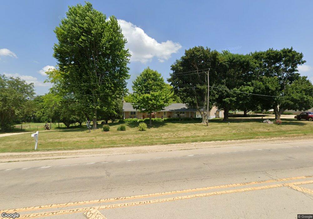
205 Il Route 64 Lanark, IL 61046
Estimated Value: $222,288 - $252,000
3
Beds
1
Bath
1,248
Sq Ft
$190/Sq Ft
Est. Value
About This Home
This home is located at 205 Il Route 64, Lanark, IL 61046 and is currently estimated at $237,572, approximately $190 per square foot. 205 Il Route 64 is a home located in Carroll County with nearby schools including Eastland Elementary School and Eastland Junior-Senior High School.
Ownership History
Date
Name
Owned For
Owner Type
Purchase Details
Closed on
Nov 16, 2022
Sold by
Rausch Kenneth L
Bought by
Heldt Aime
Current Estimated Value
Home Financials for this Owner
Home Financials are based on the most recent Mortgage that was taken out on this home.
Original Mortgage
$142,500
Outstanding Balance
$67,669
Interest Rate
6.75%
Mortgage Type
Construction
Estimated Equity
$169,903
Purchase Details
Closed on
Apr 13, 2004
Bought by
Rausch Kenneth L and Rausch Joan D
Create a Home Valuation Report for This Property
The Home Valuation Report is an in-depth analysis detailing your home's value as well as a comparison with similar homes in the area
Purchase History
| Date | Buyer | Sale Price | Title Company |
|---|---|---|---|
| Heldt Aime | $150,000 | Security First Title | |
| Rausch Kenneth L | -- | -- |
Source: Public Records
Mortgage History
| Date | Status | Borrower | Loan Amount |
|---|---|---|---|
| Open | Heldt Aime | $142,500 |
Source: Public Records
Tax History
| Year | Tax Paid | Tax Assessment Tax Assessment Total Assessment is a certain percentage of the fair market value that is determined by local assessors to be the total taxable value of land and additions on the property. | Land | Improvement |
|---|---|---|---|---|
| 2024 | $3,217 | $50,409 | $9,554 | $40,855 |
| 2023 | -- | $45,008 | $8,530 | $36,478 |
| 2022 | $1,255 | $40,186 | $7,616 | $32,570 |
| 2021 | $1,303 | $41,179 | $8,609 | $32,570 |
| 2020 | $1,308 | $39,629 | $8,609 | $31,020 |
| 2019 | $1,355 | $39,629 | $8,609 | $31,020 |
| 2018 | $1,358 | $39,629 | $8,609 | $31,020 |
| 2017 | $1,340 | $39,629 | $8,609 | $31,020 |
| 2016 | $1,334 | $39,056 | $8,609 | $30,447 |
| 2015 | $1,324 | $39,056 | $8,609 | $30,447 |
| 2014 | $1,417 | $39,056 | $8,609 | $30,447 |
| 2013 | $1,417 | $39,056 | $8,609 | $30,447 |
Source: Public Records
Map
Nearby Homes
- 205 Illinois 64
- 515 Hill St
- 108 SW Lanark Ave
- 108 SW Lanark Ave Unit 110 SW Lanark Avenue
- 328 E Carroll St
- 629 E Locust St
- 23633 Carroll Rd
- 20-31 & 32 Fox Run Dr
- 13-143 Newberry Ct
- 23205 Blackberry Ct
- 21-59 Lake Carroll Blvd
- 21-54 Old Wharf Rd
- 21-51 Marina Ct
- 13-102 Quail Hollow Dr Unit 13-103 Quail Hollow
- 12-124R Briarwood Dr
- 12-199 Willow Ct
- 3-521 Shady Ln
- 3521 Shady Ln
- 3-608R Fawn Ridge Dr
- 1-145 Perry Ct
- 201 Illinois 64
- 305,307,309 Illinois 64
- 25375 Cyclone Ridge Rd
- 494 S Broad St
- 101 Circle Dr
- 468 S Broad St
- 214 Parker Ct
- 500 S Broad St Unit E
- 210 Parker Ct
- 140 Parker Ct
- 503 S Broad St
- 507 Crestview Ct
- 138 Parker Ct
- 466 S Broad St
- 130 Parker Ct
- 505 Crestview Ct
- 30530730 Il Route 64
- 220 Parker Ct
- 314 Blair Ln
- 501 Il Route 64
Your Personal Tour Guide
Ask me questions while you tour the home.