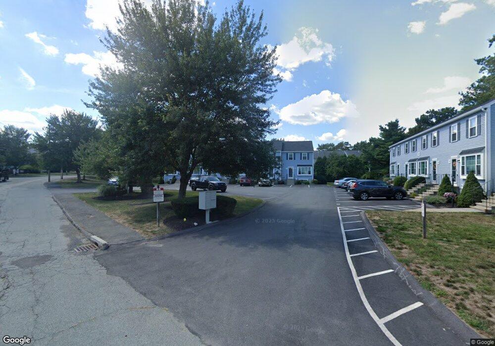
205 Irving Rd Unit 205,200 Randolph, MA 02368
North Randolph NeighborhoodEstimated Value: $460,000 - $484,921
2
Beds
3
Baths
1,780
Sq Ft
$267/Sq Ft
Est. Value
About This Home
This home is located at 205 Irving Rd Unit 205,200, Randolph, MA 02368 and is currently estimated at $474,980, approximately $266 per square foot. 205 Irving Rd Unit 205,200 is a home located in Norfolk County with nearby schools including Randolph High School.
Ownership History
Date
Name
Owned For
Owner Type
Purchase Details
Closed on
Oct 15, 2002
Sold by
Zajack Lauren
Bought by
Woods Anthony W
Current Estimated Value
Home Financials for this Owner
Home Financials are based on the most recent Mortgage that was taken out on this home.
Original Mortgage
$196,000
Outstanding Balance
$82,652
Interest Rate
6.24%
Mortgage Type
Purchase Money Mortgage
Estimated Equity
$392,328
Purchase Details
Closed on
Apr 1, 1998
Sold by
Che Rodney J
Bought by
Poli Lauren H
Home Financials for this Owner
Home Financials are based on the most recent Mortgage that was taken out on this home.
Original Mortgage
$92,000
Interest Rate
6.89%
Mortgage Type
Purchase Money Mortgage
Create a Home Valuation Report for This Property
The Home Valuation Report is an in-depth analysis detailing your home's value as well as a comparison with similar homes in the area
Home Values in the Area
Average Home Value in this Area
Purchase History
| Date | Buyer | Sale Price | Title Company |
|---|---|---|---|
| Woods Anthony W | $245,000 | -- | |
| Poli Lauren H | $105,000 | -- |
Source: Public Records
Mortgage History
| Date | Status | Borrower | Loan Amount |
|---|---|---|---|
| Open | Woods Anthony W | $196,000 | |
| Previous Owner | Poli Lauren H | $91,500 | |
| Previous Owner | Poli Lauren H | $92,000 |
Source: Public Records
Tax History Compared to Growth
Tax History
| Year | Tax Paid | Tax Assessment Tax Assessment Total Assessment is a certain percentage of the fair market value that is determined by local assessors to be the total taxable value of land and additions on the property. | Land | Improvement |
|---|---|---|---|---|
| 2025 | $5,446 | $469,100 | $0 | $469,100 |
| 2024 | $5,489 | $479,400 | $0 | $479,400 |
| 2023 | $4,596 | $380,500 | $0 | $380,500 |
| 2022 | $4,149 | $305,100 | $0 | $305,100 |
| 2021 | $4,230 | $286,200 | $0 | $286,200 |
| 2020 | $4,479 | $300,400 | $0 | $300,400 |
| 2019 | $4,006 | $267,400 | $0 | $267,400 |
| 2018 | $3,262 | $205,400 | $0 | $205,400 |
| 2017 | $3,532 | $218,300 | $0 | $218,300 |
| 2016 | $3,433 | $197,400 | $0 | $197,400 |
| 2015 | $3,200 | $176,800 | $0 | $176,800 |
Source: Public Records
Map
Nearby Homes
- 902 Irving Rd Unit 902
- 232 Canton St Unit 104
- 232 Canton St Unit 112
- 10 Michael Rd
- 33 Michael Rd
- 304 High St
- 79 Gold St
- 229 Chestnut St
- 23 Emeline St
- 2 Smith Rd
- 68 High St
- 11 Royal Crest Dr Unit 5
- 9 Royal Crest Dr Unit 12
- 43 Emily Jeffers Rd
- 12 Webster St
- 7 Webster St
- 1277 N Main St
- 11 Rockefeller St
- 16 Simmonds Blvd Unit 16
- 20 Simmonds Blvd Unit 20
- 205 Irving Rd
- 204 Irving Rd
- 203 Irving Rd
- 201 Irving Rd
- 201 Irving Rd Unit 201
- 805 Irving Rd
- 804 Irving Rd
- 803 Irving Rd
- 802 Irving Rd
- 801 Irving Rd
- 802 Irving Rd Unit 802
- 802 Irving Rd Unit 802,800
- 106 Irving Rd
- 105 Irving Rd
- 104 Irving Rd
- 103 Irving Rd
- 102 Irving Rd
- 101 Irving Rd
- 105 Irving Rd Unit 37
- 103 Irving Rd Unit 103