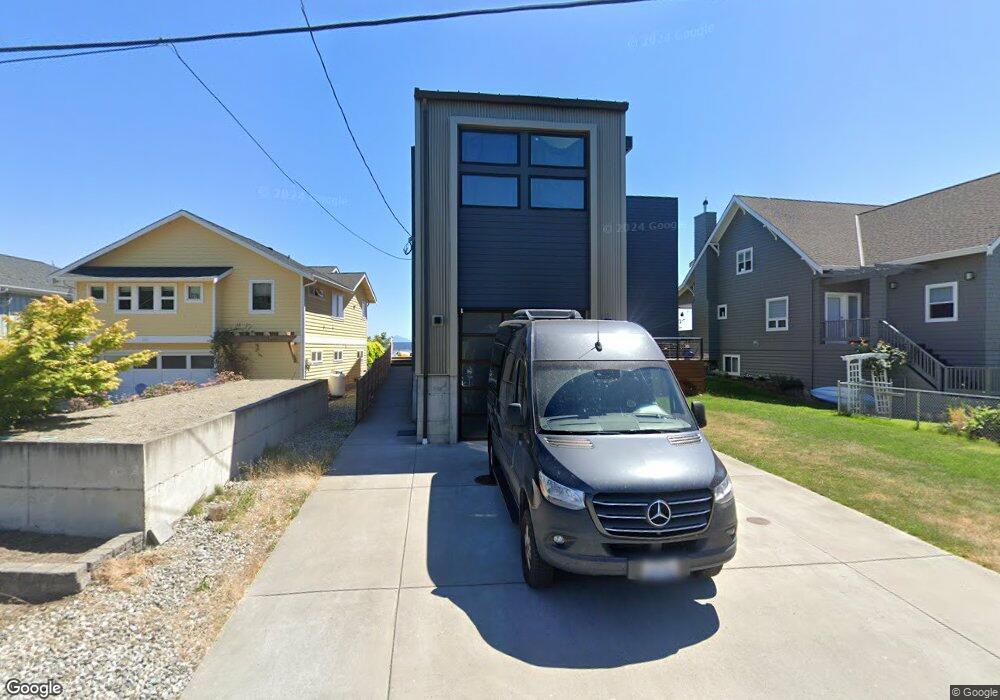
205 Iverson Rd Camano Island, WA 98282
Estimated Value: $1,307,000 - $1,917,861
2
Beds
4
Baths
3,065
Sq Ft
$528/Sq Ft
Est. Value
About This Home
This home is located at 205 Iverson Rd, Camano Island, WA 98282 and is currently estimated at $1,617,965, approximately $527 per square foot. 205 Iverson Rd is a home located in Island County with nearby schools including Utsalady Elementary School, Port Susan Middle School, and Stanwood High School.
Ownership History
Date
Name
Owned For
Owner Type
Purchase Details
Closed on
Jun 9, 2016
Sold by
Samek Melodee Sarver and Sarver Melodee J
Bought by
Sarver Samek Michael and Sarver Samek Melodee
Current Estimated Value
Home Financials for this Owner
Home Financials are based on the most recent Mortgage that was taken out on this home.
Original Mortgage
$700,000
Outstanding Balance
$565,625
Interest Rate
3.66%
Mortgage Type
New Conventional
Estimated Equity
$1,052,340
Purchase Details
Closed on
Apr 28, 2006
Sold by
Sarver Mildred J
Bought by
Sarver Melodee J
Create a Home Valuation Report for This Property
The Home Valuation Report is an in-depth analysis detailing your home's value as well as a comparison with similar homes in the area
Home Values in the Area
Average Home Value in this Area
Purchase History
| Date | Buyer | Sale Price | Title Company |
|---|---|---|---|
| Sarver Samek Michael | -- | First American Title Ins Co | |
| Sarver Melodee J | -- | None Available |
Source: Public Records
Mortgage History
| Date | Status | Borrower | Loan Amount |
|---|---|---|---|
| Open | Sarver Samek Michael | $700,000 |
Source: Public Records
Tax History Compared to Growth
Tax History
| Year | Tax Paid | Tax Assessment Tax Assessment Total Assessment is a certain percentage of the fair market value that is determined by local assessors to be the total taxable value of land and additions on the property. | Land | Improvement |
|---|---|---|---|---|
| 2024 | $12,756 | $1,719,173 | $775,500 | $943,673 |
| 2023 | $12,756 | $1,666,784 | $715,500 | $951,284 |
| 2022 | $12,230 | $1,518,808 | $650,500 | $868,308 |
| 2021 | $11,684 | $1,323,199 | $525,500 | $797,699 |
| 2020 | $11,099 | $1,224,227 | $450,500 | $773,727 |
| 2019 | $10,064 | $1,148,053 | $450,500 | $697,553 |
| 2018 | $8,387 | $1,043,183 | $375,500 | $667,683 |
| 2017 | $5,200 | $803,961 | $375,500 | $428,461 |
| 2016 | $3,691 | $550,372 | $350,500 | $199,872 |
| 2015 | -- | $372,685 | $350,480 | $22,205 |
| 2013 | -- | $356,262 | $333,120 | $23,142 |
Source: Public Records
Map
Nearby Homes
- 289 E Driftwood Shores Rd
- 244 David St
- 245 David St
- 251 Goodrich Rd
- 0 E Shumway Rd
- 230 Heather Dr
- 169 Driftwood Shores Rd
- 446 Lehman Dr
- 362 N Sunrise Blvd
- 335 Heather Dr
- 501 S Vesper Way
- 105 N Sunrise Blvd
- 269 E Lochwood Dr
- 355 Selkirk Dr
- 230 Rocky Mountain High Rd
- 302 Melrose Dr
- 474 Stirling Dr
- 578 N Sundin Dr
- 552 Sundin Dr
- 566 Sundin Dr
- 204 Longbeach Dr
- 197 Iverson Rd
- 207 Iverson Rd
- 213 Iverson Rd
- 195 Iverson Rd
- 191 Iverson Rd
- 215 Iverson Rd
- 221 Iverson Rd
- 185 Iverson Rd
- 223 Iverson Rd
- 183 Iverson Rd
- 227 Iverson Rd
- 179 Iverson Rd
- 225 Longbeach Dr
- 175 Iverson Rd
- 231 Iverson Rd
- 212 Longbeach Dr
- 169 Iverson Rd
- 220 Longbeach Dr
- 235 Iverson Rd