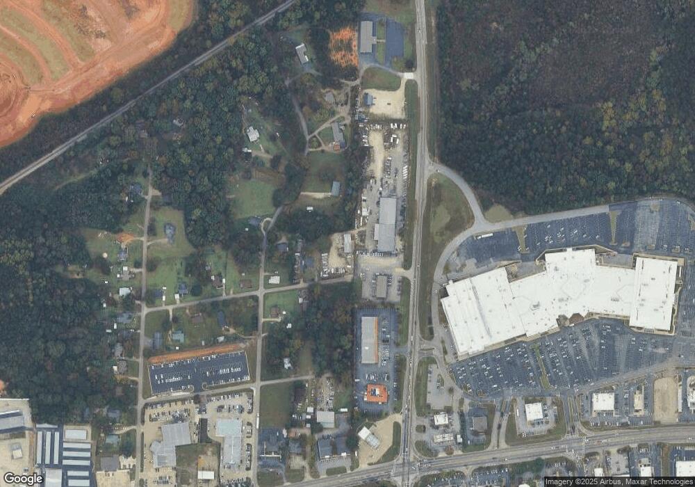
205 Johnston St Lagrange, GA 30241
Estimated Value: $173,000 - $228,452
--
Bed
1
Bath
--
Sq Ft
0.72
Acres
About This Home
This home is located at 205 Johnston St, Lagrange, GA 30241 and is currently estimated at $201,151. 205 Johnston St is a home located in Troup County with nearby schools including Hollis Hand Elementary School, Franklin Forest Elementary School, and Ethel W. Kight Elementary School.
Ownership History
Date
Name
Owned For
Owner Type
Purchase Details
Closed on
Sep 29, 2016
Bought by
Mitchell Rhonda
Current Estimated Value
Purchase Details
Closed on
Apr 16, 2010
Sold by
Stone Cynthia Faye
Bought by
Mitchell
Purchase Details
Closed on
Dec 6, 1979
Sold by
Roberts E A Est
Bought by
Joe E Roberts
Purchase Details
Closed on
Jul 12, 1962
Sold by
Berry Leon and Berry Fayzell G
Bought by
Roberts E A Est
Create a Home Valuation Report for This Property
The Home Valuation Report is an in-depth analysis detailing your home's value as well as a comparison with similar homes in the area
Home Values in the Area
Average Home Value in this Area
Purchase History
| Date | Buyer | Sale Price | Title Company |
|---|---|---|---|
| Mitchell Rhonda | -- | -- | |
| Mitchell | $80,000 | -- | |
| Mitchell | $80,000 | -- | |
| Joe E Roberts | -- | -- | |
| Roberts E A Est | $4,200 | -- |
Source: Public Records
Tax History Compared to Growth
Tax History
| Year | Tax Paid | Tax Assessment Tax Assessment Total Assessment is a certain percentage of the fair market value that is determined by local assessors to be the total taxable value of land and additions on the property. | Land | Improvement |
|---|---|---|---|---|
| 2024 | $1,807 | $66,240 | $28,800 | $37,440 |
| 2023 | $1,800 | $67,800 | $28,800 | $39,000 |
| 2022 | $883 | $31,640 | $5,360 | $26,280 |
| 2021 | $624 | $20,680 | $5,360 | $15,320 |
| 2020 | $624 | $20,680 | $5,360 | $15,320 |
| 2019 | $660 | $21,880 | $5,360 | $16,520 |
| 2018 | $614 | $20,360 | $5,360 | $15,000 |
| 2017 | $540 | $17,908 | $5,828 | $12,080 |
| 2016 | $539 | $17,870 | $5,828 | $12,042 |
| 2015 | $540 | $17,870 | $5,828 | $12,042 |
| 2014 | $522 | $17,236 | $5,828 | $11,408 |
| 2013 | -- | $16,602 | $5,828 | $10,774 |
Source: Public Records
Map
Nearby Homes
- 113 Pine Cir
- 200 River Meadow Dr
- 234 River Meadow Dr
- 143 Shenandoah Ln
- 145 Shenandoah Ln
- 147 Shenandoah Ln
- 112 Shenandoah Ln Unit 29E
- 112 Shenandoah Ln
- 114 Shenandoah Ln
- 114 Shenandoah Ln Unit 30E
- 116 Shenandoah Ln
- 130 Shenandoah Ln Unit A68
- 142 Shenandoah Ln
- 106 Shenandoah Ln Unit 26E
- 106 Shenandoah Ln
- 300 Glenhaven Dr Unit 1D
- 300 Glenhaven Dr
- 108 Shenandoah Ln
- 0 Corporate Park Ct E Unit 10608830
- 0 Corporate Park Ct E Unit 10608762
- 203 Johnston St
- 201 Johnston St
- 302 Harmon Rd
- 200 Johnston St
- 304 Harmon Rd
- 300 Harmon Rd
- 204 Harmon Rd
- 303 Harmon Rd
- 305 Harmon Rd
- 380 S Davis Rd
- 301 Harmon Rd
- 207 Marchman Dr
- 203 Marchman Dr
- 308 Harmon Rd
- 105 Riley Rd
- 0 S Davis Rd Unit 8230607
- 0 S Davis Rd Unit 2897090
- 0 S Davis Rd Unit 2991716
- 0 S Davis Rd
- 0 S Davis Rd Unit 1.5 ACRES 20002535
