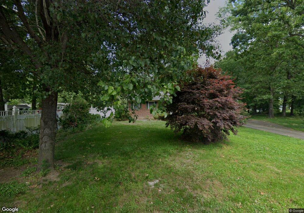
205 Kenwood Ave Cherryville, NC 28021
Estimated Value: $233,104 - $279,000
3
Beds
1
Bath
1,516
Sq Ft
$171/Sq Ft
Est. Value
About This Home
This home is located at 205 Kenwood Ave, Cherryville, NC 28021 and is currently estimated at $259,526, approximately $171 per square foot. 205 Kenwood Ave is a home located in Gaston County with nearby schools including Cherryville Elementary School, William B. Beam Intermediate School, and John Chavis Middle School.
Ownership History
Date
Name
Owned For
Owner Type
Purchase Details
Closed on
Mar 22, 2018
Sold by
Mcginnis Yates R
Bought by
Mcginnis Gregory Todd
Current Estimated Value
Purchase Details
Closed on
Oct 22, 1999
Sold by
Taylor David M and Taylor Sharon K
Bought by
Mcginnis Yates R
Purchase Details
Closed on
Oct 20, 1999
Sold by
Morgan Shirley H Pruett and Pruett Shirley Hamrick
Bought by
Mcginnis Yates R
Purchase Details
Closed on
Mar 23, 1998
Sold by
Sanders Jerry D and Sanders Frankie K
Bought by
Mcginnis Yates R
Purchase Details
Closed on
Sep 7, 1994
Bought by
Mcginnis Yates R
Create a Home Valuation Report for This Property
The Home Valuation Report is an in-depth analysis detailing your home's value as well as a comparison with similar homes in the area
Home Values in the Area
Average Home Value in this Area
Purchase History
| Date | Buyer | Sale Price | Title Company |
|---|---|---|---|
| Mcginnis Gregory Todd | -- | None Available | |
| Mcginnis Yates R | $19,500 | -- | |
| Mcginnis Yates R | $39,000 | -- | |
| Mcginnis Yates R | -- | -- | |
| Mcginnis Yates R | $65,000 | -- |
Source: Public Records
Tax History Compared to Growth
Tax History
| Year | Tax Paid | Tax Assessment Tax Assessment Total Assessment is a certain percentage of the fair market value that is determined by local assessors to be the total taxable value of land and additions on the property. | Land | Improvement |
|---|---|---|---|---|
| 2025 | $2,207 | $204,560 | $13,000 | $191,560 |
| 2024 | $2,207 | $204,560 | $13,000 | $191,560 |
| 2023 | $2,230 | $204,560 | $13,000 | $191,560 |
| 2022 | $1,485 | $111,650 | $9,000 | $102,650 |
| 2021 | $1,507 | $111,650 | $9,000 | $102,650 |
| 2019 | $1,451 | $111,650 | $9,000 | $102,650 |
| 2018 | $1,230 | $92,471 | $10,731 | $81,740 |
| 2017 | $1,230 | $92,471 | $10,731 | $81,740 |
| 2016 | $1,230 | $92,471 | $0 | $0 |
| 2014 | $1,239 | $93,172 | $17,300 | $75,872 |
Source: Public Records
Map
Nearby Homes
- 111 Sussex Ave
- 709 E Main St
- 404 Kings Dr
- 704 Hawthorne St
- 600 Queens Rd
- 1015 E Academy St
- 302 N Houser St
- 400 N Houser St
- 106 Guffey Rd
- 00 E Carrol St
- 334 S Pink St
- 301 S Mountain St
- 264 Mauney Farm Rd
- 00 N Carolina 274
- 5.68 acres Rosewood Ln
- 692 S Pink St
- 197 Dale Dr
- 201 Dale Dr
- 613 N Pink St
- 500 N Mountain St
- 203 Kenwood Ave
- 207 Bell St
- 207 Belt Dr
- 901 E Academy St
- 711 E Academy St
- 202 Kenwood Ave
- 905 E Academy St
- 802 E Academy St
- 205 Bell St
- 201 Kenwood Ave
- 709 E Academy St
- 200 Kenwood Ave
- 801 Washburn St
- 203 Bell St
- 803 Washburn St
- 804 E Academy St
- 110 Sussex Ave
- 103 Kenwood Ave
- 705 E Academy St
- 118 Kenwood Ave