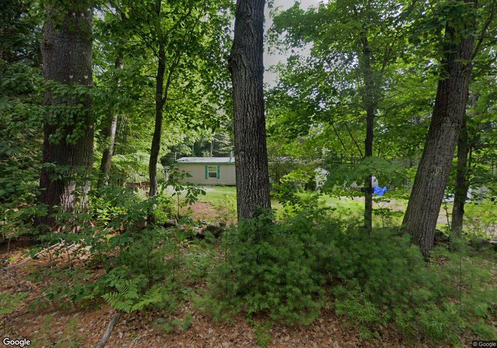
205 Kimball Rd Bridgton, ME 04009
Estimated Value: $374,000 - $420,000
--
Bed
--
Bath
1,512
Sq Ft
$262/Sq Ft
Est. Value
About This Home
This home is located at 205 Kimball Rd, Bridgton, ME 04009 and is currently estimated at $396,838, approximately $262 per square foot. 205 Kimball Rd is a home with nearby schools including Lake Region High School and Bridgton Academy.
Ownership History
Date
Name
Owned For
Owner Type
Purchase Details
Closed on
Oct 29, 2007
Sold by
Woolley Christopher and Woolley Crystal
Bought by
Dirck Robert F and Dirck Loretta R
Current Estimated Value
Home Financials for this Owner
Home Financials are based on the most recent Mortgage that was taken out on this home.
Original Mortgage
$50,000
Interest Rate
6.39%
Mortgage Type
Purchase Money Mortgage
Create a Home Valuation Report for This Property
The Home Valuation Report is an in-depth analysis detailing your home's value as well as a comparison with similar homes in the area
Home Values in the Area
Average Home Value in this Area
Purchase History
| Date | Buyer | Sale Price | Title Company |
|---|---|---|---|
| Dirck Robert F | -- | -- |
Source: Public Records
Mortgage History
| Date | Status | Borrower | Loan Amount |
|---|---|---|---|
| Open | Dirck Robert F | $142,500 | |
| Closed | Dirck Robert F | $50,000 |
Source: Public Records
Tax History Compared to Growth
Tax History
| Year | Tax Paid | Tax Assessment Tax Assessment Total Assessment is a certain percentage of the fair market value that is determined by local assessors to be the total taxable value of land and additions on the property. | Land | Improvement |
|---|---|---|---|---|
| 2024 | $2,852 | $167,294 | $38,060 | $129,234 |
| 2023 | $2,877 | $167,294 | $38,060 | $129,234 |
| 2022 | $2,543 | $167,294 | $38,060 | $129,234 |
| 2021 | $2,476 | $167,294 | $38,060 | $129,234 |
| 2020 | $2,501 | $167,294 | $38,060 | $129,234 |
| 2019 | $2,509 | $167,294 | $38,060 | $129,234 |
| 2018 | $2,476 | $167,294 | $38,060 | $129,234 |
| 2017 | $2,560 | $167,294 | $38,060 | $129,234 |
| 2016 | $2,484 | $167,294 | $38,060 | $129,234 |
| 2015 | -- | $180,376 | $49,060 | $131,316 |
| 2014 | $2,536 | $180,376 | $49,060 | $131,316 |
Source: Public Records
Map
Nearby Homes
- 61 Holden Hills
- Lot 18 Kimball Rd
- 25 Harvest Ln
- 1 Heathersfield Dr
- 0 N Bridgton Rd Unit 1637449
- 38 Del Chadbourne Rd
- 0 Ridgeview Rd Unit 1642495
- 19 Smith St
- 194 Middle Ridge Rd Unit A
- 57 Oak Shore Rd
- 49-2 Harrison Rd
- 13 Muirfield Dr Unit 13
- Lot 17 Birch Cir
- 60 Chapman Rd
- 34 Middle Ridge Rd
- 7 Elysian Way
- 26 Middle Ridge Rd
- Lot 13C Staples Rd
- Lot 12 Bear Pond Rd
- Lot 9 Bear Pond Rd
- 209 Kimball Rd
- 200 Kimball Rd
- 20 Codys Way
- 12 Cody's Way
- 14 Cody's
- 12 Codys Way
- 6 Cody's
- Lot 6 Codys Way
- 10 Cody's
- 10 Codys Way
- 5 Cody's
- 4 Cody's
- 14 Justins Way
- 238 Kimball Rd
- 220 Kimball Rd
- 0 Justins Way Unit 940941
- 0 Justins Way Unit 960638
- 0 Justins Way Unit 1526089
- Lot 2 Cody's
- 0 Codys Way Unit 843282