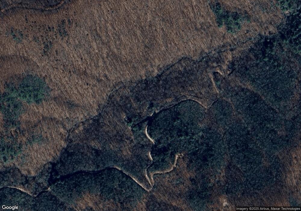
205 Laurel Branch Dr Jasper, GA 30143
Dawson County NeighborhoodEstimated Value: $345,000 - $371,000
2
Beds
2
Baths
896
Sq Ft
$400/Sq Ft
Est. Value
About This Home
This home is located at 205 Laurel Branch Dr, Jasper, GA 30143 and is currently estimated at $358,000, approximately $399 per square foot. 205 Laurel Branch Dr is a home with nearby schools including Robinson Elementary School, Dawson County Junior High School, and Dawson County Middle School.
Ownership History
Date
Name
Owned For
Owner Type
Purchase Details
Closed on
Jan 10, 2023
Sold by
Bruce Corbin
Bought by
Bruce Phillip and Bruce Rita
Current Estimated Value
Purchase Details
Closed on
Dec 8, 2022
Sold by
Fairchild Richard B
Bought by
Richard And Gloria Fairchild Living Trust
Purchase Details
Closed on
Jan 13, 2004
Sold by
Jones Donald M and Jones Rit
Bought by
Fairchild Richard B and Fairchild Lynn G
Purchase Details
Closed on
Aug 6, 1996
Sold by
Tigerco Investment
Bought by
Jones Donald M and Jones Rit
Purchase Details
Closed on
Oct 16, 1992
Sold by
Allied Construction
Bought by
Tigerco Investment
Purchase Details
Closed on
Aug 12, 1988
Sold by
United Properties Dv
Bought by
Allied Construction
Purchase Details
Closed on
Oct 7, 1987
Bought by
United Properties Dv
Create a Home Valuation Report for This Property
The Home Valuation Report is an in-depth analysis detailing your home's value as well as a comparison with similar homes in the area
Home Values in the Area
Average Home Value in this Area
Purchase History
| Date | Buyer | Sale Price | Title Company |
|---|---|---|---|
| Bruce Phillip | -- | -- | |
| Richard And Gloria Fairchild Living Trust | -- | -- | |
| Fairchild Richard B | $86,000 | -- | |
| Jones Donald M | $84,000 | -- | |
| Tigerco Investment | $18,300 | -- | |
| Allied Construction | -- | -- | |
| United Properties Dv | -- | -- |
Source: Public Records
Tax History Compared to Growth
Tax History
| Year | Tax Paid | Tax Assessment Tax Assessment Total Assessment is a certain percentage of the fair market value that is determined by local assessors to be the total taxable value of land and additions on the property. | Land | Improvement |
|---|---|---|---|---|
| 2024 | $1,359 | $81,840 | $6,920 | $74,920 |
| 2023 | $1,331 | $82,560 | $6,920 | $75,640 |
| 2022 | $1,069 | $49,920 | $5,280 | $44,640 |
| 2021 | $897 | $39,640 | $5,280 | $34,360 |
| 2020 | $927 | $39,160 | $5,280 | $33,880 |
| 2019 | $769 | $32,240 | $5,280 | $26,960 |
| 2018 | $771 | $32,240 | $5,280 | $26,960 |
| 2017 | $740 | $30,961 | $6,000 | $24,961 |
| 2016 | $667 | $27,883 | $6,000 | $21,883 |
| 2015 | $658 | $26,655 | $6,000 | $20,655 |
| 2014 | $722 | $28,322 | $6,960 | $21,362 |
| 2013 | -- | $24,554 | $6,000 | $18,554 |
Source: Public Records
Map
Nearby Homes
- 0 Burnt Mountain Cove Rd Unit 4C & 7C 10434439
- 0 Burnt Mountain Cove Rd Unit 7504095
- 168 Burnt Mountain Cove Rd
- 13.57 Ac Burnt Mountain Cove Rd
- 18N Bear Paw Rd
- 956 Sunrise Ridge
- 59 St Andrews Way
- 0 Edinborough Ct Unit 7605469
- 123 Edinborough Ct
- 58 St Andrews Way
- 189 Saint Andrews Way
- 122 Cloudland Dr
- 0 Northland Trail Unit 10472985
- 0 Northland Trail Unit 7535626
- 1298 Cold Stream Trail
- 1457 Roxies Rd
- 1 Scenic Ln Unit 11,12
- 1 Scenic Ln
- 17P Roxie Rd
- 17 Roxie Rd Unit 17P
- 17P Roxie Rd
- 370 Roxies Rd
- 455 Scenic Ln
- 230 Roxies Rd
- 199 Renate Dr
- 1670 Sunrise Ridge
- 598 Renate Dr
- 17-P Roxie Rd
- 145 Roxies Rd
- 145 Roxies Rd
- 582 Roxie Rd
- 598 Renate Dr Unit LOT
- 240 Renate Dr
- 602 Renate Dr
- LT 9F Renate Dr
