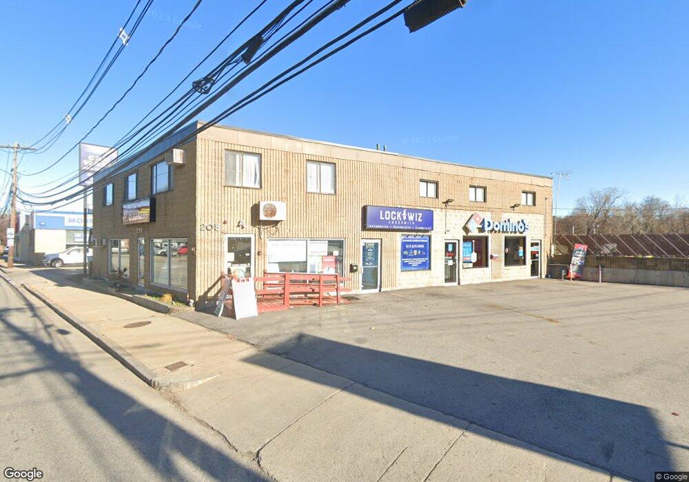
205 Lexington St Waltham, MA 02452
Bentley College NeighborhoodEstimated Value: $1,438,972
--
Bed
2
Baths
3,225
Sq Ft
$446/Sq Ft
Est. Value
About This Home
This home is located at 205 Lexington St, Waltham, MA 02452 and is currently estimated at $1,438,972, approximately $446 per square foot. 205 Lexington St is a home located in Middlesex County with nearby schools including Thomas R Plympton Elementary School, John F Kennedy Middle School, and Waltham Sr High School.
Ownership History
Date
Name
Owned For
Owner Type
Purchase Details
Closed on
Mar 28, 1997
Sold by
Builders Collaborative
Bought by
Kayserian Leon
Current Estimated Value
Purchase Details
Closed on
Apr 16, 1996
Sold by
205 Rt
Bought by
Builders Collaborative
Purchase Details
Closed on
Sep 30, 1988
Sold by
Lenza Joseph A
Bought by
205 Rt
Home Financials for this Owner
Home Financials are based on the most recent Mortgage that was taken out on this home.
Original Mortgage
$600,000
Interest Rate
10.66%
Mortgage Type
Commercial
Create a Home Valuation Report for This Property
The Home Valuation Report is an in-depth analysis detailing your home's value as well as a comparison with similar homes in the area
Home Values in the Area
Average Home Value in this Area
Purchase History
| Date | Buyer | Sale Price | Title Company |
|---|---|---|---|
| Kayserian Leon | $310,000 | -- | |
| Builders Collaborative | $350,000 | -- | |
| 205 Rt | $600,000 | -- |
Source: Public Records
Mortgage History
| Date | Status | Borrower | Loan Amount |
|---|---|---|---|
| Previous Owner | 205 Rt | $600,000 |
Source: Public Records
Tax History Compared to Growth
Tax History
| Year | Tax Paid | Tax Assessment Tax Assessment Total Assessment is a certain percentage of the fair market value that is determined by local assessors to be the total taxable value of land and additions on the property. | Land | Improvement |
|---|---|---|---|---|
| 2025 | $19,449 | $924,400 | $334,200 | $590,200 |
| 2024 | $17,098 | $825,600 | $303,800 | $521,800 |
| 2023 | $16,388 | $746,600 | $275,400 | $471,200 |
| 2022 | $15,565 | $680,300 | $251,100 | $429,200 |
| 2021 | $15,371 | $666,000 | $234,900 | $431,100 |
| 2020 | $15,768 | $647,300 | $222,800 | $424,500 |
| 2019 | $15,129 | $572,000 | $202,500 | $369,500 |
| 2018 | $15,118 | $540,500 | $181,100 | $359,400 |
| 2017 | $15,112 | $520,400 | $181,100 | $339,300 |
| 2016 | $15,367 | $520,400 | $181,100 | $339,300 |
| 2015 | $15,905 | $500,300 | $162,000 | $338,300 |
Source: Public Records
Map
Nearby Homes
- 251 Bacon St
- 69-71 Pond St
- 5 Rock Ln
- 158 Church St
- 214 Church St
- 326 Bacon St
- 160 School St Unit 3-1
- 63 Greenwood Ln
- 14 Claremont St
- 14 Lyman Terrace
- 501 Lexington St Unit 48
- 109 Clark Ln
- 37 Summit St
- 15 Howard St
- 47 Rich St Unit 2
- 91 Prentice St
- 32 Harvard St Unit 2
- 49 Lincoln St
- 43-45 Welligton Unit 3
- 515 Lexington St Unit 2
- 209 Lexington St Unit 1
- 209 Lexington St
- 209 Lexington St Unit 1,1
- 215 Lexington St
- 194 Lexington St
- 186 Lexington St Unit 9
- 184 Lexington St Unit 190
- 187 Lexington St
- 180 Lexington St Unit 182
- 180 Lexington St Unit 3
- 35 Dale St
- 249 Lexington St
- 45 Dale St
- 39 Emerson Rd Unit 230
- 57 Dale St
- 39 Emerson Rd Unit 124C
- 39 Emerson Rd Unit 144
- 39 Emerson Rd Unit 100
- 39 Emerson Rd Unit 104
- 39 Emerson Rd Unit 203