205 Liberty Dr Langhorne, PA 19047
Estimated Value: $401,000 - $416,000
3
Beds
3
Baths
1,600
Sq Ft
$256/Sq Ft
Est. Value
About This Home
This home is located at 205 Liberty Dr, Langhorne, PA 19047 and is currently estimated at $409,393, approximately $255 per square foot. 205 Liberty Dr is a home located in Bucks County with nearby schools including Oxford Valley Elementary School, William Penn Middle School, and Pennsbury High School.
Ownership History
Date
Name
Owned For
Owner Type
Purchase Details
Closed on
Jan 31, 2007
Sold by
Stiteler J Paul
Bought by
Arnold Donald
Current Estimated Value
Home Financials for this Owner
Home Financials are based on the most recent Mortgage that was taken out on this home.
Original Mortgage
$50,000
Interest Rate
6.12%
Mortgage Type
Stand Alone Second
Purchase Details
Closed on
Apr 21, 1989
Bought by
Macdonald Richard A
Create a Home Valuation Report for This Property
The Home Valuation Report is an in-depth analysis detailing your home's value as well as a comparison with similar homes in the area
Home Values in the Area
Average Home Value in this Area
Purchase History
| Date | Buyer | Sale Price | Title Company |
|---|---|---|---|
| Arnold Donald | $250,000 | Lawyers Title Insurance Corp | |
| Macdonald Richard A | $112,900 | -- |
Source: Public Records
Mortgage History
| Date | Status | Borrower | Loan Amount |
|---|---|---|---|
| Closed | Arnold Donald | $50,000 | |
| Previous Owner | Arnold Donald | $200,000 |
Source: Public Records
Tax History Compared to Growth
Tax History
| Year | Tax Paid | Tax Assessment Tax Assessment Total Assessment is a certain percentage of the fair market value that is determined by local assessors to be the total taxable value of land and additions on the property. | Land | Improvement |
|---|---|---|---|---|
| 2025 | $5,167 | $23,200 | $2,400 | $20,800 |
| 2024 | $5,167 | $23,200 | $2,400 | $20,800 |
| 2023 | $4,950 | $23,200 | $2,400 | $20,800 |
| 2022 | $4,796 | $23,200 | $2,400 | $20,800 |
| 2021 | $4,704 | $23,200 | $2,400 | $20,800 |
| 2020 | $4,704 | $23,200 | $2,400 | $20,800 |
| 2019 | $10,725 | $23,200 | $2,400 | $20,800 |
| 2018 | $4,564 | $23,200 | $2,400 | $20,800 |
| 2017 | $4,449 | $23,200 | $2,400 | $20,800 |
| 2016 | $4,449 | $23,200 | $2,400 | $20,800 |
| 2015 | $4,266 | $23,200 | $2,400 | $20,800 |
| 2014 | $4,266 | $23,200 | $2,400 | $20,800 |
Source: Public Records
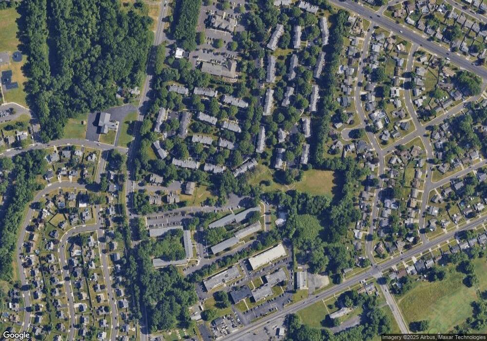
Map
Nearby Homes
- 59 Liberty Dr
- 208 Trenton Rd
- 245 Trenton Rd
- 43 Tweed Rd
- 134 Lincoln Hwy Unit 11
- 208 Suffolk Rd
- 01 Kyle Ln
- 000 Kyle Ln
- 225 Yorkshire Rd Unit HIII
- 5 Foxfern Dr
- 212 Apple St
- 114 Nursery Ave
- 1977 4th St
- 111 Hoover Dr
- 1776 1st St
- 62 Harrison Dr
- 19 Cobalt Ridge Dr N
- 560 Fernwood Ln
- 231 Johnson Dr
- 209 Johnson Dr