Estimated Value: $269,071 - $330,000
3
Beds
2
Baths
1,550
Sq Ft
$193/Sq Ft
Est. Value
About This Home
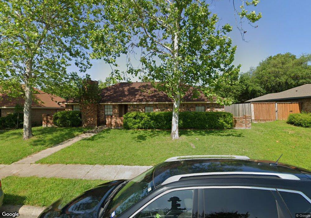
This home is located at 205 Liberty Dr, Wylie, TX 75098 and is currently estimated at $299,268, approximately $193 per square foot. 205 Liberty Dr is a home located in Collin County with nearby schools including P M Akin Elementary School, AB Harrison Intermediate School, and Grady Burnett J High School.
Ownership History
Date
Name
Owned For
Owner Type
Purchase Details
Closed on
Jun 21, 1996
Sold by
Bullock Steven M and Bullock Debra K
Bought by
Littrell Kenneth A and Littrell Diane
Current Estimated Value
Home Financials for this Owner
Home Financials are based on the most recent Mortgage that was taken out on this home.
Original Mortgage
$65,600
Interest Rate
8.02%
Create a Home Valuation Report for This Property
The Home Valuation Report is an in-depth analysis detailing your home's value as well as a comparison with similar homes in the area
Home Values in the Area
Average Home Value in this Area
Purchase History
| Date | Buyer | Sale Price | Title Company |
|---|---|---|---|
| Littrell Kenneth A | -- | -- |
Source: Public Records
Mortgage History
| Date | Status | Borrower | Loan Amount |
|---|---|---|---|
| Closed | Littrell Kenneth A | $65,600 |
Source: Public Records
Tax History Compared to Growth
Tax History
| Year | Tax Paid | Tax Assessment Tax Assessment Total Assessment is a certain percentage of the fair market value that is determined by local assessors to be the total taxable value of land and additions on the property. | Land | Improvement |
|---|---|---|---|---|
| 2025 | $3,498 | $229,102 | $80,000 | $149,102 |
| 2024 | $3,498 | $241,292 | $80,000 | $161,292 |
| 2023 | $3,498 | $239,777 | $80,000 | $160,558 |
| 2022 | $4,782 | $217,979 | $65,000 | $165,462 |
| 2021 | $4,663 | $202,404 | $65,000 | $137,404 |
| 2020 | $4,473 | $180,148 | $50,000 | $130,148 |
| 2019 | $5,055 | $192,370 | $50,000 | $168,854 |
| 2018 | $4,710 | $174,882 | $50,000 | $159,852 |
| 2017 | $4,282 | $166,811 | $30,000 | $136,811 |
| 2016 | $4,016 | $149,861 | $30,000 | $119,861 |
| 2015 | $3,402 | $131,392 | $30,000 | $101,392 |
Source: Public Records
Map
Nearby Homes
- 207 Spence Dr
- 114 Liberty Dr
- 104 N 5th St
- 104 Rushcreek Dr
- 304 Hawthorn Dr
- 310 Hawthorn Dr
- 1022 Debby Ct
- 216 Cedar Ridge St
- 300 Woodhollow Ct
- 306 Woodhollow Ct
- 303 N 2nd St
- 825 Foxwood Ln
- 301 S 3rd St
- 820 Foxwood Ln
- 409 Cedar Ridge Dr
- 811 Forest Edge Ln
- 825 Forest Edge Ln
- 416 Dogwood Dr
- 327 S 4th St
- 329 S 2nd St