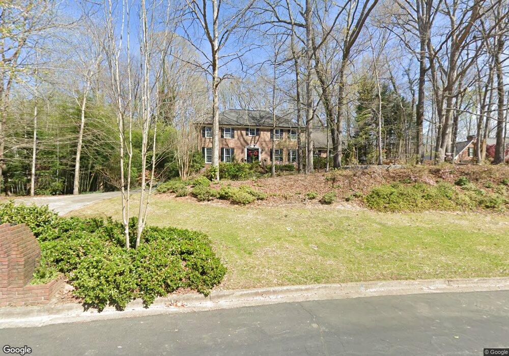
205 Link Ct Alpharetta, GA 30022
Estimated Value: $691,000 - $926,000
4
Beds
3
Baths
3,174
Sq Ft
$248/Sq Ft
Est. Value
About This Home
This home is located at 205 Link Ct, Alpharetta, GA 30022 and is currently estimated at $788,021, approximately $248 per square foot. 205 Link Ct is a home located in Fulton County with nearby schools including State Bridge Crossing Elementary School, Autrey Mill Middle School, and Johns Creek High School.
Ownership History
Date
Name
Owned For
Owner Type
Purchase Details
Closed on
Jun 15, 2021
Sold by
Milstead Wendy M
Bought by
Wilson Wendy Melissa and Wilson Todd Edward
Current Estimated Value
Purchase Details
Closed on
Jun 24, 2010
Sold by
Milstead Robert A
Bought by
Milstead Wendy M
Home Financials for this Owner
Home Financials are based on the most recent Mortgage that was taken out on this home.
Original Mortgage
$260,000
Interest Rate
4.83%
Mortgage Type
New Conventional
Create a Home Valuation Report for This Property
The Home Valuation Report is an in-depth analysis detailing your home's value as well as a comparison with similar homes in the area
Home Values in the Area
Average Home Value in this Area
Purchase History
| Date | Buyer | Sale Price | Title Company |
|---|---|---|---|
| Wilson Wendy Melissa | -- | -- | |
| Milstead Wendy M | -- | -- |
Source: Public Records
Mortgage History
| Date | Status | Borrower | Loan Amount |
|---|---|---|---|
| Previous Owner | Milstead Wendy M | $260,000 |
Source: Public Records
Tax History Compared to Growth
Tax History
| Year | Tax Paid | Tax Assessment Tax Assessment Total Assessment is a certain percentage of the fair market value that is determined by local assessors to be the total taxable value of land and additions on the property. | Land | Improvement |
|---|---|---|---|---|
| 2025 | $5,118 | $321,240 | $123,040 | $198,200 |
| 2023 | $5,146 | $182,320 | $39,360 | $142,960 |
| 2022 | $5,234 | $182,320 | $39,360 | $142,960 |
| 2021 | $5,104 | $182,400 | $38,920 | $143,480 |
| 2020 | $5,139 | $180,280 | $38,480 | $141,800 |
| 2019 | $632 | $177,080 | $37,800 | $139,280 |
| 2018 | $5,042 | $172,960 | $36,920 | $136,040 |
| 2017 | $5,087 | $166,280 | $35,480 | $130,800 |
| 2016 | $4,982 | $166,280 | $35,480 | $130,800 |
| 2015 | $5,036 | $166,280 | $35,480 | $130,800 |
| 2014 | $5,172 | $166,280 | $35,480 | $130,800 |
Source: Public Records
Map
Nearby Homes
- 720 Buttercup Trace
- 455 Oak Laurel Ct
- 9950 Farmbrook Ln
- 170 Autry Trail
- 10265 Minion Ct Unit 27
- 10281 Midway Ave
- 10296 Quadrant Ct Unit 76
- 510 Winborne Place Unit VI
- 10570 Bridgemor Dr
- 515 Avian Ct
- 750 Gates Ln
- 230 Skidaway Ct
- 5170 Cameron Forest Pkwy
- 230 Pinebridge Ct
- 513 Camden Hall Dr
- 10325 Oxford Mill Cir Unit 1
- 4435 Pemberton Cove
- 350 Waters Bend Way
- 0 Link Ct Unit 8200195
- 0 Link Ct Unit 7604882
- 215 Link Ct
- 195 Link Ct
- 375 Link Rd
- 210 Link Ct
- 405 Link Rd
- 225 Link Ct
- 220 Link Ct
- 0 Link Rd Unit 8778939
- 0 Link Rd Unit 8697860
- 0 Link Rd Unit 8243991
- 0 Link Rd Unit 8082105
- 0 Link Rd Unit 7537429
- 0 Link Rd Unit 8765198
- 0 Link Rd Unit 7484352
- 235 Link Ct Unit 2
- 415 Link Rd
- 380 Link Rd
- 230 Link Ct