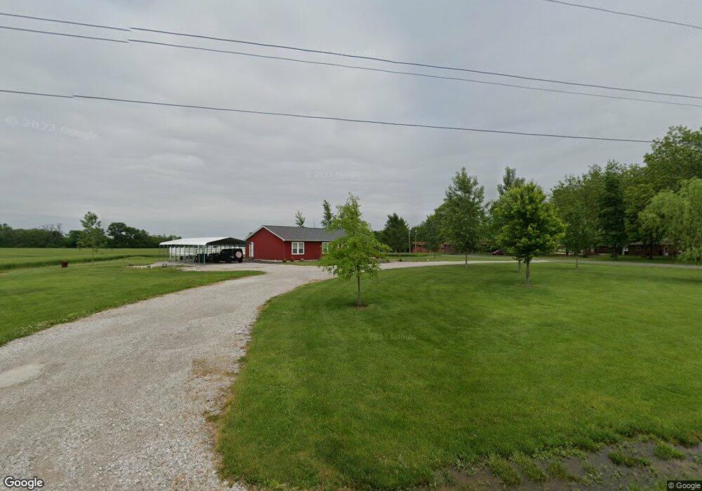
205 Lunch Rd Smithton, IL 62285
Estimated Value: $306,248 - $474,000
Studio
--
Bath
1,920
Sq Ft
$185/Sq Ft
Est. Value
About This Home
This home is located at 205 Lunch Rd, Smithton, IL 62285 and is currently estimated at $354,562, approximately $184 per square foot. 205 Lunch Rd is a home with nearby schools including Smithton Elementary, Freeburg Community High School, and St John the Baptist Catholic School.
Ownership History
Date
Name
Owned For
Owner Type
Purchase Details
Closed on
Oct 29, 2019
Sold by
Lindauer Amber and Reynolds Aaron
Bought by
Lindauer Amber A
Current Estimated Value
Home Financials for this Owner
Home Financials are based on the most recent Mortgage that was taken out on this home.
Original Mortgage
$212,000
Outstanding Balance
$187,963
Interest Rate
4%
Mortgage Type
New Conventional
Estimated Equity
$166,599
Purchase Details
Closed on
Feb 22, 2012
Sold by
Lindauer David Lee and Lindauer Gail Dianne
Bought by
Reynolds Amber D and Reynolds Aaron J
Create a Home Valuation Report for This Property
The Home Valuation Report is an in-depth analysis detailing your home's value as well as a comparison with similar homes in the area
Home Values in the Area
Average Home Value in this Area
Purchase History
| Date | Buyer | Sale Price | Title Company |
|---|---|---|---|
| Lindauer Amber A | -- | Accent Title Inc | |
| Reynolds Amber D | -- | None Available |
Source: Public Records
Mortgage History
| Date | Status | Borrower | Loan Amount |
|---|---|---|---|
| Open | Lindauer Amber A | $212,000 |
Source: Public Records
Tax History
| Year | Tax Paid | Tax Assessment Tax Assessment Total Assessment is a certain percentage of the fair market value that is determined by local assessors to be the total taxable value of land and additions on the property. | Land | Improvement |
|---|---|---|---|---|
| 2024 | $5,065 | $71,795 | $6,337 | $65,458 |
| 2023 | $4,791 | $66,659 | $5,819 | $60,840 |
| 2022 | $4,472 | $61,119 | $5,282 | $55,837 |
| 2021 | $4,261 | $57,476 | $4,899 | $52,577 |
| 2020 | $4,348 | $55,964 | $4,638 | $51,326 |
| 2019 | $4,177 | $55,867 | $4,541 | $51,326 |
| 2018 | $3,968 | $53,837 | $4,309 | $49,528 |
| 2017 | $4,586 | $61,809 | $14,576 | $47,233 |
| 2016 | $4,442 | $56,670 | $7,539 | $49,131 |
| 2014 | $1,915 | $55,767 | $7,419 | $48,348 |
| 2013 | -- | $56,980 | $7,580 | $49,400 |
Source: Public Records
Map
Nearby Homes
- 14 N High St
- 513 Stonefield Dr
- 202 Sun Valley Dr
- 227 Suburban Place
- 4507 Elk Meadows Ln
- 4628 Knab Rd
- 4805 Lone Rock Ln
- 4525 Boardwalk
- 4517 Boardwalk
- 4916 Wilderness Pointe
- 4901 Wilderness Point
- 0 Unknown Unit 22065045
- 4220 Knab Rd
- 4057 Bur Oak Dr
- 4132 Summer Oak Dr
- 4122 Knab Rd
- 4017 Autumn Oak Dr
- 4016 Autumn Oak Dr
- 4112 Summer Oak Dr
- 227 Alamosa Dr