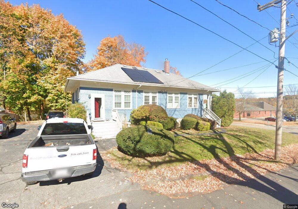
205 Main St Amesbury, MA 01913
Estimated Value: $569,166 - $672,000
3
Beds
3
Baths
1,845
Sq Ft
$335/Sq Ft
Est. Value
About This Home
This home is located at 205 Main St, Amesbury, MA 01913 and is currently estimated at $617,792, approximately $334 per square foot. 205 Main St is a home located in Essex County with nearby schools including Amesbury High School and Amesbury Seventh-Day Adventist School.
Ownership History
Date
Name
Owned For
Owner Type
Purchase Details
Closed on
Sep 23, 2025
Sold by
Kephane Kerry A and Schildbach Edward
Bought by
205 Main Street Rt and Keohane
Current Estimated Value
Purchase Details
Closed on
Mar 10, 2025
Sold by
Doyle Nancy L
Bought by
Keohane Kerry A and Schildbach Edward
Home Financials for this Owner
Home Financials are based on the most recent Mortgage that was taken out on this home.
Original Mortgage
$470,000
Interest Rate
6.96%
Mortgage Type
Purchase Money Mortgage
Purchase Details
Closed on
Oct 1, 2024
Sold by
Bernard Kari L and Doyle Nancy L
Bought by
Doyle Nancy L
Purchase Details
Closed on
Jun 24, 2014
Sold by
Doyle Nancy L
Bought by
Bernard Kari L
Purchase Details
Closed on
Apr 1, 1993
Sold by
Makowski John B and Mnakowski Dale P
Bought by
Doyle Nancy L
Purchase Details
Closed on
Apr 13, 1987
Sold by
Obrien Mary E
Bought by
Hilwig Raymond R
Create a Home Valuation Report for This Property
The Home Valuation Report is an in-depth analysis detailing your home's value as well as a comparison with similar homes in the area
Home Values in the Area
Average Home Value in this Area
Purchase History
| Date | Buyer | Sale Price | Title Company |
|---|---|---|---|
| 205 Main Street Rt | -- | -- | |
| Keohane Kerry A | $620,000 | None Available | |
| Keohane Kerry A | $620,000 | None Available | |
| Doyle Nancy L | -- | None Available | |
| Doyle Nancy L | -- | None Available | |
| Doyle Nancy L | -- | None Available | |
| Bernard Kari L | -- | -- | |
| Bernard Kari L | -- | -- | |
| Bernard Kari L | -- | -- | |
| Doyle Nancy L | $102,000 | -- | |
| Doyle Nancy L | $102,000 | -- | |
| Hilwig Raymond R | $110,000 | -- |
Source: Public Records
Mortgage History
| Date | Status | Borrower | Loan Amount |
|---|---|---|---|
| Previous Owner | Keohane Kerry A | $470,000 | |
| Previous Owner | Hilwig Raymond R | $76,000 | |
| Previous Owner | Hilwig Raymond R | $55,000 |
Source: Public Records
Tax History
| Year | Tax Paid | Tax Assessment Tax Assessment Total Assessment is a certain percentage of the fair market value that is determined by local assessors to be the total taxable value of land and additions on the property. | Land | Improvement |
|---|---|---|---|---|
| 2025 | $4,989 | $326,100 | $0 | $326,100 |
| 2024 | $4,578 | $292,700 | $0 | $292,700 |
| 2023 | $4,722 | $289,000 | $0 | $289,000 |
| 2022 | $4,454 | $251,800 | $0 | $251,800 |
| 2021 | $4,458 | $244,300 | $0 | $244,300 |
| 2020 | $4,166 | $242,500 | $0 | $242,500 |
| 2019 | $4,045 | $220,200 | $0 | $220,200 |
| 2018 | $4,182 | $220,200 | $0 | $220,200 |
| 2017 | $4,243 | $212,700 | $0 | $212,700 |
| 2016 | $4,050 | $199,700 | $0 | $199,700 |
| 2015 | $4,278 | $208,300 | $0 | $208,300 |
| 2014 | $4,368 | $208,300 | $0 | $208,300 |
Source: Public Records
Map
Nearby Homes
- 205 Main St Unit 2
- 3 Carpenter St
- 207 Main St
- 5 Carpenter St
- 2 Carpenter St
- 7 Carpenter St
- 209 Main St
- 209 Main St Unit C
- 209 Main St Unit B
- 208 Main St Unit 1
- 208 Main St
- 208 Main St Unit C
- 208 Main St Unit A
- 208 Main St Unit D
- 208 Main St Unit 2
- 208 Main St Unit 3
- 8 Carpenter St
- 204 Main St
- 202 Main St
- 206 Main St
Your Personal Tour Guide
Ask me questions while you tour the home.