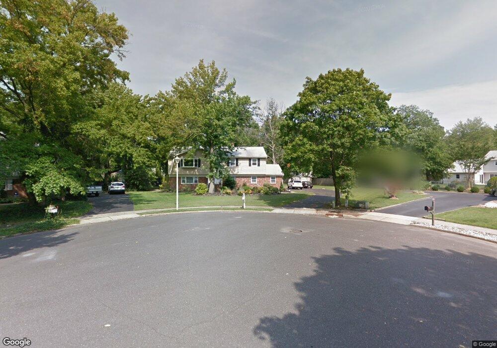
205 Maxum Ct Middletown, NJ 07748
New Monmouth NeighborhoodEstimated Value: $754,327 - $817,000
4
Beds
3
Baths
2,208
Sq Ft
$354/Sq Ft
Est. Value
About This Home
This home is located at 205 Maxum Ct, Middletown, NJ 07748 and is currently estimated at $782,332, approximately $354 per square foot. 205 Maxum Ct is a home located in Monmouth County with nearby schools including Harmony Elementary School, Thorne Middle School, and Middletown High School North.
Ownership History
Date
Name
Owned For
Owner Type
Purchase Details
Closed on
Aug 7, 2000
Sold by
Tanner Walter
Bought by
Cohen Edward and Cohen Corrine
Current Estimated Value
Home Financials for this Owner
Home Financials are based on the most recent Mortgage that was taken out on this home.
Original Mortgage
$212,000
Interest Rate
7.83%
Create a Home Valuation Report for This Property
The Home Valuation Report is an in-depth analysis detailing your home's value as well as a comparison with similar homes in the area
Home Values in the Area
Average Home Value in this Area
Purchase History
| Date | Buyer | Sale Price | Title Company |
|---|---|---|---|
| Cohen Edward | $265,000 | -- |
Source: Public Records
Mortgage History
| Date | Status | Borrower | Loan Amount |
|---|---|---|---|
| Previous Owner | Cohen Edward | $212,000 |
Source: Public Records
Tax History
| Year | Tax Paid | Tax Assessment Tax Assessment Total Assessment is a certain percentage of the fair market value that is determined by local assessors to be the total taxable value of land and additions on the property. | Land | Improvement |
|---|---|---|---|---|
| 2025 | $8,835 | $680,700 | $389,600 | $291,100 |
| 2024 | $8,925 | $537,100 | $251,300 | $285,800 |
Source: Public Records
Map
Nearby Homes
- 117 Harmony Ave
- 42 Hialeah Ave
- 66 Sunset Place
- 20 Hutchinson Dr
- 9 Avenue A
- 17 Avenue A
- 17 Avenue A Unit 99
- 19 Avenue A
- 8a Avenue A Unit 108
- 8a Avenue A
- 14 Avenue A Unit 102
- 18 Avenue A Unit 98
- 18 Avenue A
- 5 Avenue B
- 5 Avenue B Unit 74
- 9 Avenue C Unit 61
- 760 Harmony Rd
- 17 Avenue D
- 22 Avenue D Unit 45
- 3 John St Unit 118
- 203 Maxum Ct
- 208 Tanglewood Ct
- 207 Maxum Ct
- 7 Tanglewood Rd
- 206 Tanglewood Ct
- 5 Tanglewood Rd
- 204 Tanglewood Ct
- 13 Sieben Dr
- 11 Sieben Dr
- 208 Maxum Ct
- 9 Tanglewood Rd
- 206 Maxum Ct
- 3 Tanglewood Rd
- 11 Tanglewood Rd
- 9 Sieben Dr
- 204 Maxum Ct
- 6 Tanglewood Rd
- 104 Harmony Ave
- 207 Tanglewood Ct
- 14 Sieben Dr