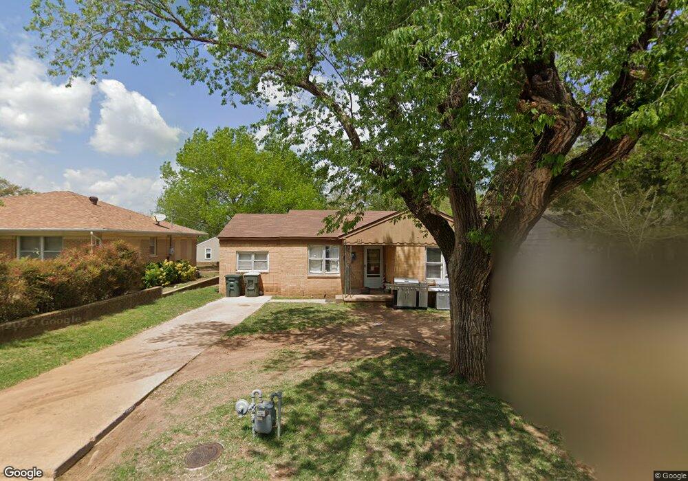
205 Memory Ln Pauls Valley, OK 73075
Estimated Value: $60,000 - $121,000
2
Beds
1
Bath
988
Sq Ft
$89/Sq Ft
Est. Value
About This Home
This home is located at 205 Memory Ln, Pauls Valley, OK 73075 and is currently estimated at $87,855, approximately $88 per square foot. 205 Memory Ln is a home located in Garvin County with nearby schools including Pauls Valley Elementary School, Jackson Elementary School, and Pauls Valley Intermediate School.
Ownership History
Date
Name
Owned For
Owner Type
Purchase Details
Closed on
Jun 28, 2008
Sold by
Cregger Don and Estate Of A J Cregger
Bought by
Waters James A and Waters Luann
Current Estimated Value
Home Financials for this Owner
Home Financials are based on the most recent Mortgage that was taken out on this home.
Original Mortgage
$33,600
Interest Rate
6.05%
Mortgage Type
New Conventional
Purchase Details
Closed on
Jun 26, 2008
Sold by
Miller James R and Miller Kristi L
Bought by
Trammell Brent
Home Financials for this Owner
Home Financials are based on the most recent Mortgage that was taken out on this home.
Original Mortgage
$33,600
Interest Rate
6.05%
Mortgage Type
New Conventional
Create a Home Valuation Report for This Property
The Home Valuation Report is an in-depth analysis detailing your home's value as well as a comparison with similar homes in the area
Home Values in the Area
Average Home Value in this Area
Purchase History
| Date | Buyer | Sale Price | Title Company |
|---|---|---|---|
| Waters James A | -- | -- | |
| Trammell Brent | $42,000 | -- |
Source: Public Records
Mortgage History
| Date | Status | Borrower | Loan Amount |
|---|---|---|---|
| Closed | Trammell Brent | $33,600 |
Source: Public Records
Tax History Compared to Growth
Tax History
| Year | Tax Paid | Tax Assessment Tax Assessment Total Assessment is a certain percentage of the fair market value that is determined by local assessors to be the total taxable value of land and additions on the property. | Land | Improvement |
|---|---|---|---|---|
| 2024 | $419 | $5,224 | $582 | $4,642 |
| 2023 | $419 | $5,071 | $582 | $4,489 |
| 2022 | $406 | $5,198 | $582 | $4,616 |
| 2021 | $413 | $5,128 | $582 | $4,546 |
| 2020 | $416 | $5,128 | $582 | $4,546 |
| 2019 | $445 | $5,295 | $582 | $4,713 |
| 2018 | $429 | $5,247 | $572 | $4,675 |
| 2017 | $353 | $5,094 | $575 | $4,519 |
| 2016 | $349 | $5,048 | $562 | $4,486 |
| 2015 | $342 | $4,901 | $548 | $4,353 |
| 2014 | $330 | $4,759 | $519 | $4,240 |
Source: Public Records
Map
Nearby Homes
- 220 Memory Ln
- 14861 Us Highway 77
- 1006 S Chickasaw St
- 102 Twin Oaks
- 221 Terrace Dr
- 425 Mohawk Dr
- 300 Terrace Dr
- 220 S Edith Ave
- 202 W Lee St
- 107 Highland Rd
- 1705 S Walnut St
- 311 S Bertha Ave
- 107 E Grimmett Dr
- 421 S Catherine St
- 405 S Catherine St
- 607 S Paul Ave
- 207 S Mcclure Ave
- 801 W Leslie St
- 410 S Lowe Ave
- 201 S Oak St
- 201 Memory Ln
- 113 Memory Ln
- 108 Park Row
- 1301 Hillcrest Rd
- 112 Park Row
- 217 Memory Ln
- 120 Memory Ln
- 1305 Hillcrest Rd
- 1300 Hillcrest Rd
- 209 Memory Ln
- 109 Park Row
- 1221 Denson Dr
- 116 Memory Ln
- 1309 Hillcrest Rd
- 221 Memory Ln
- 1304 Hillcrest Rd
- 116 Park Row
- 112 Memory Ln
- 1313 Hillcrest Rd
- 1217 Denson Dr