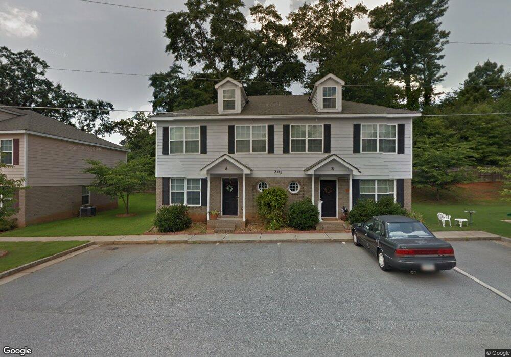
205 Misty Ln Unit A Social Circle, GA 30025
Estimated Value: $231,000 - $378,105
4
Beds
3
Baths
1,437
Sq Ft
$195/Sq Ft
Est. Value
About This Home
This home is located at 205 Misty Ln Unit A, Social Circle, GA 30025 and is currently estimated at $279,776, approximately $194 per square foot. 205 Misty Ln Unit A is a home located in Walton County with nearby schools including Social Circle Primary School, Social Circle Elementary School, and Social Circle Middle School.
Ownership History
Date
Name
Owned For
Owner Type
Purchase Details
Closed on
Dec 28, 2009
Sold by
25 Prestwick Lane Llc
Bought by
Manders William G
Current Estimated Value
Home Financials for this Owner
Home Financials are based on the most recent Mortgage that was taken out on this home.
Original Mortgage
$140,650
Interest Rate
4.68%
Mortgage Type
New Conventional
Create a Home Valuation Report for This Property
The Home Valuation Report is an in-depth analysis detailing your home's value as well as a comparison with similar homes in the area
Home Values in the Area
Average Home Value in this Area
Purchase History
| Date | Buyer | Sale Price | Title Company |
|---|---|---|---|
| Manders William G | $145,000 | -- |
Source: Public Records
Mortgage History
| Date | Status | Borrower | Loan Amount |
|---|---|---|---|
| Closed | Manders William G | $140,650 |
Source: Public Records
Tax History Compared to Growth
Tax History
| Year | Tax Paid | Tax Assessment Tax Assessment Total Assessment is a certain percentage of the fair market value that is determined by local assessors to be the total taxable value of land and additions on the property. | Land | Improvement |
|---|---|---|---|---|
| 2024 | $1,629 | $45,800 | $2,760 | $43,040 |
| 2023 | $1,577 | $43,600 | $2,760 | $40,840 |
| 2022 | $414 | $39,720 | $2,760 | $36,960 |
| 2021 | $344 | $33,000 | $2,760 | $30,240 |
| 2020 | $339 | $31,760 | $2,760 | $29,000 |
| 2019 | $334 | $28,800 | $2,760 | $26,040 |
| 2018 | $314 | $28,800 | $2,760 | $26,040 |
| 2017 | $1,152 | $27,560 | $2,760 | $24,800 |
| 2016 | $286 | $25,240 | $2,760 | $22,480 |
| 2015 | $272 | $24,200 | $2,760 | $21,440 |
| 2014 | $182 | $15,360 | $2,760 | $12,600 |
Source: Public Records
Map
Nearby Homes
- 241 E Ash St
- 494 Spring St
- 582 S Cherokee Rd
- 380 Hickory St SW
- 152 Orwell Dr
- 164 Orwell Dr
- 164 Orwell Dr Unit 104
- 217 Orwell Dr
- 231 Orwell Dr
- Adrian Plan at Conner Springs
- Mira Plan at Conner Springs
- Tucker Front Porch Plan at Conner Springs
- Shiloh Plan at Conner Springs
- Sinclair Plan at Conner Springs
- Harding Plan at Conner Springs
- Hemingway Plan at Conner Springs
- 177 E Orwell Dr
- 177 ORWELL Drive
- 207 E Hightower Trail
- (GA)The Ava | Front Entry Plan at Weslyn Park
- 205 Misty Ln Unit B
- 201 Misty Ln Unit B
- 201 Misty Ln Unit A
- 201 Misty Ln
- 206 Misty Ln Unit A
- 206 Misty Ln Unit B
- 206 Misty Ln Unit A/B
- 202 Misty Ln Unit A
- 202 Misty Ln Unit B
- 202 Misty Ln Unit A,B
- 209 Misty Ln Unit B
- 209 Misty Ln Unit A
- 209 Misty Ln Unit A/B
- 452 S Cherokee Rd
- 0 Ash St
- 434 S Cherokee Rd
- 462 S Cherokee Rd
- 225 Cannon Dr SE
- 213 Cannon Dr SE
- 302 Taylor Ct Unit A