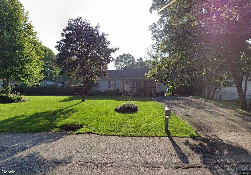
205 Monroe St Mastic, NY 11950
Estimated Value: $433,000 - $559,712
3
Beds
2
Baths
1,260
Sq Ft
$409/Sq Ft
Est. Value
About This Home
This home is located at 205 Monroe St, Mastic, NY 11950 and is currently estimated at $515,928, approximately $409 per square foot. 205 Monroe St is a home located in Suffolk County with nearby schools including Nathaniel Woodhull Elementary School, William Floyd Middle School, and William Floyd High School.
Ownership History
Date
Name
Owned For
Owner Type
Purchase Details
Closed on
Mar 22, 2001
Sold by
First Time Design Inc
Bought by
Drell Michael D and Drell Rosa
Current Estimated Value
Home Financials for this Owner
Home Financials are based on the most recent Mortgage that was taken out on this home.
Original Mortgage
$125,000
Outstanding Balance
$45,618
Interest Rate
7.05%
Estimated Equity
$470,310
Create a Home Valuation Report for This Property
The Home Valuation Report is an in-depth analysis detailing your home's value as well as a comparison with similar homes in the area
Home Values in the Area
Average Home Value in this Area
Purchase History
| Date | Buyer | Sale Price | Title Company |
|---|---|---|---|
| Drell Michael D | $140,500 | Fidelity National Title Ins |
Source: Public Records
Mortgage History
| Date | Status | Borrower | Loan Amount |
|---|---|---|---|
| Open | Drell Michael D | $125,000 |
Source: Public Records
Tax History Compared to Growth
Tax History
| Year | Tax Paid | Tax Assessment Tax Assessment Total Assessment is a certain percentage of the fair market value that is determined by local assessors to be the total taxable value of land and additions on the property. | Land | Improvement |
|---|---|---|---|---|
| 2024 | $8,572 | $2,360 | $220 | $2,140 |
| 2023 | $8,572 | $2,360 | $220 | $2,140 |
| 2022 | $9,191 | $2,360 | $220 | $2,140 |
| 2021 | $9,191 | $2,360 | $220 | $2,140 |
| 2020 | $9,426 | $2,360 | $220 | $2,140 |
| 2019 | $9,426 | $0 | $0 | $0 |
| 2018 | $9,028 | $2,360 | $220 | $2,140 |
| 2017 | $9,028 | $2,360 | $220 | $2,140 |
| 2016 | $9,056 | $2,360 | $220 | $2,140 |
| 2015 | -- | $2,360 | $220 | $2,140 |
| 2014 | -- | $2,360 | $220 | $2,140 |
Source: Public Records
Map
Nearby Homes
- 54 Meadowmere Ave
- 112 Floyd Rd
- 247 Hawthorne St
- 72 Concord Rd
- 139 Madison St
- 8 Fleet Rd
- 182 Lexington Rd
- 135 Mayfield Dr
- 154 Meadowmere Ave
- VL - (Sec 937 Lot 14 The Green
- Vacant Lot The Green
- 123 Hawthorne St
- 41 Broadway
- 5 Ormond Place
- V LAND The Green
- 137 Riverside Ave
- 370 Whittier Dr
- 46 Broadway
- 11 The Green
- 26 Coventry Ave