205 Mount Hunger Shore Rd Windham, ME 04062
Estimated Value: $576,000 - $870,000
2
Beds
1
Bath
944
Sq Ft
$768/Sq Ft
Est. Value
About This Home
This home is located at 205 Mount Hunger Shore Rd, Windham, ME 04062 and is currently estimated at $725,067, approximately $768 per square foot. 205 Mount Hunger Shore Rd is a home located in Cumberland County with nearby schools including Manchester School, Windham Primary School, and Windham Middle School.
Ownership History
Date
Name
Owned For
Owner Type
Purchase Details
Closed on
Jan 13, 2016
Sold by
Balcom Paula D
Bought by
Balcom Paula D
Current Estimated Value
Create a Home Valuation Report for This Property
The Home Valuation Report is an in-depth analysis detailing your home's value as well as a comparison with similar homes in the area
Home Values in the Area
Average Home Value in this Area
Purchase History
| Date | Buyer | Sale Price | Title Company |
|---|---|---|---|
| Balcom Paula D | -- | -- | |
| Balcom Paula D | -- | -- |
Source: Public Records
Tax History Compared to Growth
Tax History
| Year | Tax Paid | Tax Assessment Tax Assessment Total Assessment is a certain percentage of the fair market value that is determined by local assessors to be the total taxable value of land and additions on the property. | Land | Improvement |
|---|---|---|---|---|
| 2024 | $8,436 | $735,500 | $605,800 | $129,700 |
| 2023 | $7,672 | $685,000 | $562,900 | $122,100 |
| 2022 | $6,571 | $566,000 | $458,800 | $107,200 |
| 2021 | $5,659 | $449,100 | $357,300 | $91,800 |
| 2020 | $8,920 | $411,100 | $337,500 | $73,600 |
| 2019 | $363 | $411,100 | $337,500 | $73,600 |
| 2018 | $5,904 | $388,900 | $320,700 | $68,200 |
| 2017 | $5,562 | $338,500 | $279,600 | $58,900 |
| 2016 | $5,314 | $338,500 | $279,600 | $58,900 |
| 2015 | $5,128 | $338,500 | $279,600 | $58,900 |
| 2014 | $4,819 | $338,500 | $279,600 | $58,900 |
| 2013 | -- | $338,500 | $279,600 | $58,900 |
Source: Public Records
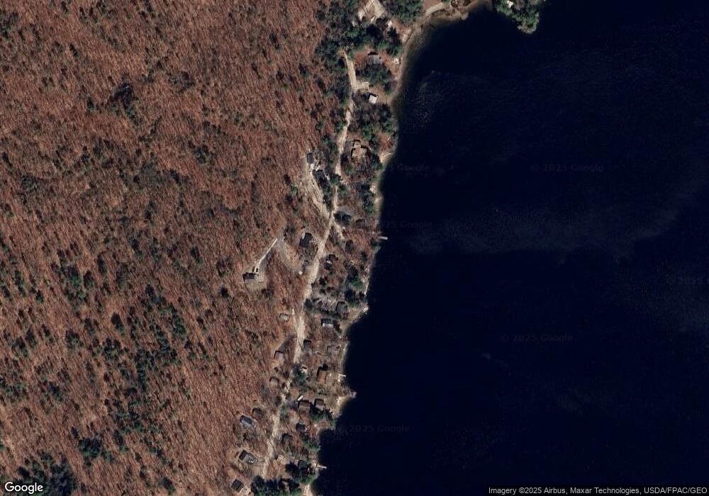
Map
Nearby Homes
- 15 Worcester Dr
- lot #8 Bedrock Terrace
- 107 Harvest Hill Rd
- 99 Enterprise Dr
- 20 Bittersweet Way
- 24 Hillside Dr
- 18 Hillside Dr
- 8 Lily Ln
- 1083 Roosevelt Trail
- 56 Qualey Rd
- 1 Pine Ln
- 3 Pride Ln
- 1042 Roosevelt Trail
- 35 Webbs Mills Rd
- 36 Whites Bridge Rd Unit 8
- 16 Peterson Rd
- 80 Sky Dr
- 34 Trails End Rd
- 14 Sabbady Point Rd
- 219 Tandberg Trail
- 201 Mount Hunger Shore Rd
- 207 Mount Hunger Shore Rd
- 197 Mount Hunger Shore Rd
- 211 Mount Hunger Shore Rd
- 315-317 Mount Hunger Shore Rd
- 204 Mount Hunger Shore Rd
- 213 Mount Hunger Shore Rd
- 193 Mount Hunger Shore Rd
- 215 Mount Hunger Shore Rd
- 214 Mount Hunger Shore Rd
- 191 Mount Hunger Shore Rd
- 219 Mount Hunger Shore Rd
- 190 Mount Hunger Shore Rd
- 185 Mount Hunger Shore Rd
- 227 Mount Hunger Shore Rd
- 182 Mount Hunger Shore Rd
- 183 Mount Hunger Shore Rd
- 229 Mount Hunger Shore Rd
- 180 Mount Hunger Shore Rd
- 179 Mount Hunger Shore Rd