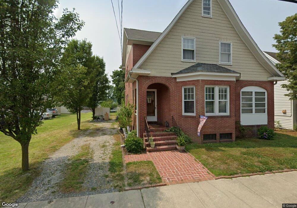
205 N Main St Hebron, MD 21830
Estimated Value: $250,699 - $312,000
--
Bed
1
Bath
2,208
Sq Ft
$125/Sq Ft
Est. Value
About This Home
This home is located at 205 N Main St, Hebron, MD 21830 and is currently estimated at $274,925, approximately $124 per square foot. 205 N Main St is a home located in Wicomico County with nearby schools including Westside Primary School, Westside Intermediate School, and Mardela Middle/High School.
Ownership History
Date
Name
Owned For
Owner Type
Purchase Details
Closed on
Oct 16, 1987
Sold by
Fisher Mac William and Fisher Margorie C
Bought by
Rease Robert R and Rease Barbara W
Current Estimated Value
Home Financials for this Owner
Home Financials are based on the most recent Mortgage that was taken out on this home.
Original Mortgage
$42,000
Interest Rate
11.58%
Purchase Details
Closed on
Jun 28, 1984
Sold by
Harvey Arnold R and Harvey Lois I
Bought by
Fisher Mac William and Fisher Margorie C
Home Financials for this Owner
Home Financials are based on the most recent Mortgage that was taken out on this home.
Original Mortgage
$40,350
Interest Rate
14.49%
Purchase Details
Closed on
May 14, 1981
Sold by
Messick Russell L and Messick Edith E
Bought by
Harvey Arnold R and Harvey Lois I
Home Financials for this Owner
Home Financials are based on the most recent Mortgage that was taken out on this home.
Original Mortgage
$15,000
Interest Rate
16.12%
Create a Home Valuation Report for This Property
The Home Valuation Report is an in-depth analysis detailing your home's value as well as a comparison with similar homes in the area
Home Values in the Area
Average Home Value in this Area
Purchase History
| Date | Buyer | Sale Price | Title Company |
|---|---|---|---|
| Rease Robert R | $52,500 | -- | |
| Fisher Mac William | $53,800 | -- | |
| Harvey Arnold R | $30,500 | -- |
Source: Public Records
Mortgage History
| Date | Status | Borrower | Loan Amount |
|---|---|---|---|
| Closed | Rease Robert R | $42,000 | |
| Previous Owner | Fisher Mac William | $40,350 | |
| Previous Owner | Harvey Arnold R | $15,000 |
Source: Public Records
Tax History Compared to Growth
Tax History
| Year | Tax Paid | Tax Assessment Tax Assessment Total Assessment is a certain percentage of the fair market value that is determined by local assessors to be the total taxable value of land and additions on the property. | Land | Improvement |
|---|---|---|---|---|
| 2025 | $1,704 | $194,433 | $0 | $0 |
| 2024 | $1,704 | $177,767 | $0 | $0 |
| 2023 | $1,593 | $161,100 | $21,100 | $140,000 |
| 2022 | $1,559 | $153,000 | $0 | $0 |
| 2021 | $1,411 | $144,900 | $0 | $0 |
| 2020 | $1,411 | $136,800 | $21,100 | $115,700 |
| 2019 | $1,427 | $136,367 | $0 | $0 |
| 2018 | $1,430 | $135,933 | $0 | $0 |
| 2017 | $1,425 | $135,500 | $0 | $0 |
| 2016 | -- | $135,500 | $0 | $0 |
| 2015 | $1,364 | $135,500 | $0 | $0 |
| 2014 | $1,364 | $148,600 | $0 | $0 |
Source: Public Records
Map
Nearby Homes
- 304 N Main St
- 100 Wilson St
- 103 Howard St
- 404 Peachtree Ct
- 500 S Main St
- 310 Autumn Ridge Dr
- 138 Chapel Branch Dr
- 501 Chestnut St
- 0 Levin Dashiell Rd Unit MDWC2019970
- 0 Levin Dashiell Rd Unit MDWC2019558
- 0 Levin Dashiell Rd Unit MDWC2016682
- 604 N Main St
- 0 Cedar Ct
- 27135 E Lillian St
- 27170 Martin Luther Dr
- 26239 Bosch Ln
- 26171 Millman Dr
- 26601 Quantico Creek Rd
- 26585 Quantico Creek Rd
- 26161 Bosch Ln
- 207 N Main St
- 209 N Main St
- 209 N Main St
- 0 Quantico Rd
- Lot 1 Quantico Rd
- 101 W Lillian St
- 211 N Main St
- 230 N Main St
- 102 W Church St
- 200 N Main St
- 0 N Main St Unit 1000790324
- 0 N Main St Unit 1000790318
- 107 S Main St
- 102 E Lillian St
- 208 N Main St
- 103 W Lillian St
- 301 N Main St
- 106 W Church St
- 104 W Church St
- 107 N Main St