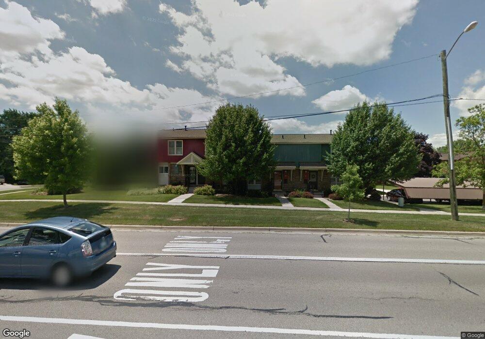
205 N Maple Rd Saline, MI 48176
Estimated Value: $184,000 - $216,000
2
Beds
1
Bath
768
Sq Ft
$257/Sq Ft
Est. Value
About This Home
This home is located at 205 N Maple Rd, Saline, MI 48176 and is currently estimated at $197,746, approximately $257 per square foot. 205 N Maple Rd is a home located in Washtenaw County with nearby schools including Woodland Meadows Elementary School, Heritage School, and Saline Middle School.
Ownership History
Date
Name
Owned For
Owner Type
Purchase Details
Closed on
Feb 16, 2022
Sold by
Rice William I
Bought by
William I Rice Trus
Current Estimated Value
Purchase Details
Closed on
Sep 18, 2015
Sold by
Alden Jeffrey M and Alden Shannon R
Bought by
Mauck Sarah E and Detlor Deann R
Home Financials for this Owner
Home Financials are based on the most recent Mortgage that was taken out on this home.
Original Mortgage
$70,000
Interest Rate
3.84%
Mortgage Type
New Conventional
Purchase Details
Closed on
Sep 28, 2010
Sold by
Maple Village Cooperative Inc
Bought by
Alden Jeffrey M and Alden Shannon R
Home Financials for this Owner
Home Financials are based on the most recent Mortgage that was taken out on this home.
Original Mortgage
$65,440
Interest Rate
4.36%
Mortgage Type
FHA
Create a Home Valuation Report for This Property
The Home Valuation Report is an in-depth analysis detailing your home's value as well as a comparison with similar homes in the area
Home Values in the Area
Average Home Value in this Area
Purchase History
| Date | Buyer | Sale Price | Title Company |
|---|---|---|---|
| William I Rice Trus | -- | None Listed On Document | |
| Rice William I | $163,000 | None Listed On Document | |
| Mauck Sarah E | $94,000 | Liberty Title | |
| Alden Jeffrey M | -- | First Title & Escrow Inc |
Source: Public Records
Mortgage History
| Date | Status | Borrower | Loan Amount |
|---|---|---|---|
| Previous Owner | Mauck Sarah E | $70,000 | |
| Previous Owner | Alden Jeffrey M | $65,440 |
Source: Public Records
Tax History
| Year | Tax Paid | Tax Assessment Tax Assessment Total Assessment is a certain percentage of the fair market value that is determined by local assessors to be the total taxable value of land and additions on the property. | Land | Improvement |
|---|---|---|---|---|
| 2025 | $5,198 | $85,500 | $0 | $0 |
| 2024 | $5,046 | $81,300 | $0 | $0 |
| 2023 | $4,841 | $75,200 | $0 | $0 |
| 2022 | $3,115 | $68,800 | $0 | $0 |
| 2021 | $2,050 | $62,200 | $0 | $0 |
| 2020 | $2,029 | $64,500 | $0 | $0 |
| 2019 | $1,983 | $61,700 | $61,700 | $0 |
| 2018 | $1,901 | $54,000 | $0 | $0 |
| 2017 | $112 | $41,900 | $0 | $0 |
| 2016 | $1,823 | $37,900 | $0 | $0 |
| 2015 | -- | $31,496 | $0 | $0 |
| 2014 | -- | $30,900 | $0 | $0 |
| 2013 | -- | $30,900 | $0 | $0 |
Source: Public Records
Map
Nearby Homes
- 548 Park Place
- 29 Black Cherry Ln
- 2204 Mill Ln
- 165 Harper Dr
- 241 Nichols Dr
- 7663 Ann Arbor-Saline Rd
- 109 Burwyck Park Dr Unit 3
- 122 Burwyck Park Dr
- 112 Burwyck Park Dr
- 1450 W Bemis Rd
- 110 Parsons Ln
- 7608 E Michigan Ave
- 100 Parsons Ln
- 126 Parsons Ln
- 106 Parsons Ln
- 124 Parsons Ln
- 112 Parsons Ln
- 404 Mills Rd
- 267 Willis Rd
- 1040 Heritage Dr
- 207 N Maple Rd
- 209 N Maple Rd
- 367 Clark St
- 365 Clark St
- 211 N Maple Rd Unit 4
- 363 Clark St
- 363 Clark St Unit 64
- 361 Clark St
- 219 N Maple Rd
- 221 N Maple Rd
- 359 Clark St
- 223 N Maple Rd
- 357 Clark St
- 225 N Maple Rd
- 227 N Maple Rd Unit 9
- 229 N Maple Rd
- 229 N Maple Rd Unit 10
- 117 N Maple Rd
- 349 Clark St
- 347 Clark St
Your Personal Tour Guide
Ask me questions while you tour the home.