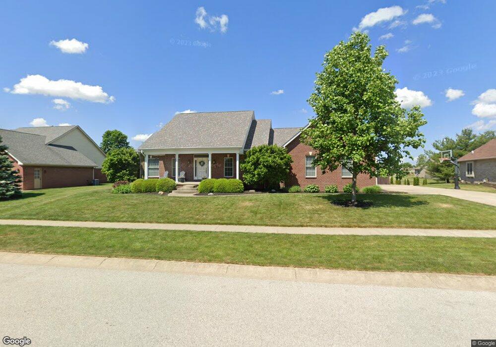
205 N Muirfield Cir Lebanon, IN 46052
Estimated Value: $433,000 - $583,000
6
Beds
5
Baths
4,217
Sq Ft
$121/Sq Ft
Est. Value
About This Home
This home is located at 205 N Muirfield Cir, Lebanon, IN 46052 and is currently estimated at $508,361, approximately $120 per square foot. 205 N Muirfield Cir is a home located in Boone County with nearby schools including Central Elementary School, Lebanon Middle School, and Lebanon Senior High School.
Ownership History
Date
Name
Owned For
Owner Type
Purchase Details
Closed on
Apr 28, 2011
Sold by
Jones Carol A
Bought by
Goodnight Grant D and Goodnight Kerri D
Current Estimated Value
Home Financials for this Owner
Home Financials are based on the most recent Mortgage that was taken out on this home.
Original Mortgage
$265,500
Outstanding Balance
$14,329
Interest Rate
4.86%
Mortgage Type
New Conventional
Estimated Equity
$494,032
Create a Home Valuation Report for This Property
The Home Valuation Report is an in-depth analysis detailing your home's value as well as a comparison with similar homes in the area
Home Values in the Area
Average Home Value in this Area
Purchase History
| Date | Buyer | Sale Price | Title Company |
|---|---|---|---|
| Goodnight Grant D | -- | -- |
Source: Public Records
Mortgage History
| Date | Status | Borrower | Loan Amount |
|---|---|---|---|
| Open | Goodnight Grant D | $265,500 |
Source: Public Records
Tax History Compared to Growth
Tax History
| Year | Tax Paid | Tax Assessment Tax Assessment Total Assessment is a certain percentage of the fair market value that is determined by local assessors to be the total taxable value of land and additions on the property. | Land | Improvement |
|---|---|---|---|---|
| 2025 | $4,981 | $457,600 | $44,500 | $413,100 |
| 2024 | $4,981 | $438,900 | $44,500 | $394,400 |
| 2023 | $4,873 | $426,100 | $44,500 | $381,600 |
| 2022 | $4,659 | $390,800 | $44,500 | $346,300 |
| 2021 | $4,634 | $380,100 | $44,500 | $335,600 |
| 2020 | $4,724 | $383,800 | $44,500 | $339,300 |
| 2019 | $4,682 | $390,800 | $44,500 | $346,300 |
| 2018 | $4,311 | $353,900 | $44,500 | $309,400 |
| 2017 | $4,068 | $332,900 | $44,500 | $288,400 |
| 2016 | $4,005 | $327,400 | $44,500 | $282,900 |
| 2014 | $3,198 | $266,400 | $44,500 | $221,900 |
| 2013 | $3,207 | $266,400 | $44,500 | $221,900 |
Source: Public Records
Map
Nearby Homes
- 2305 Golfside Dr
- 2215 Golfside Dr
- 208 Tahoe Dr
- 912 Angilee Way
- 914 Angilee Way
- 916 Angilee Way
- 920 Angilee Way
- Chatham Plan at Angilee Gardens
- Cortland Plan at Angilee Gardens
- Stamford Plan at Angilee Gardens
- Dayton Plan at Angilee Gardens
- Fairfax Plan at Angilee Gardens
- Johnstown Plan at Angilee Gardens
- Henley Plan at Angilee Gardens
- 135 Westmoor Dr
- 2018 Elizaville Rd
- 2004 Terrace Ln
- 1919 Elizaville Rd
- 2906 Detford Ct
- 811 Primrose Ct
- 215 S Muirfield Cir
- 145 N Muirfield Cir
- 2411 Prestwick Ct
- 130 N Muirfield Cir
- 2401 Prestwick Ct
- 225 S Muirfield Cir
- 135 N Muirfield Cir
- 2347 Ulen Overlook
- 120 N Muirfield Cir
- LOT 75 Prestwick Ct
- LOT 62 Prestwick Ct
- LOT 63 Prestwick Ct
- LOT 64 Prestwick Ct
- LOT 78 Prestwick Ct
- LOT 77 Prestwick Ct
- LOT 79 Prestwick Ct
- LOT 76 Prestwick Ct
- LOT 70 Prestwick Ct
- LOT 67 Prestwick Ct
- LOT 66 Prestwick Ct