Estimated Value: $119,000 - $195,000
Studio
--
Bath
--
Sq Ft
32,234
Sq Ft Lot
About This Home
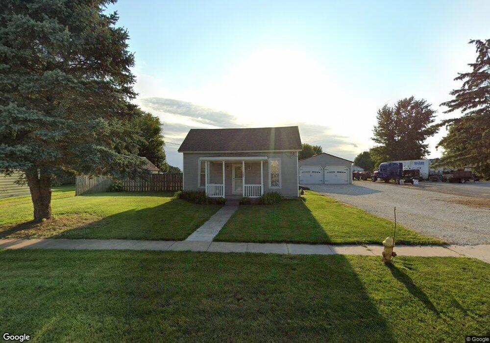
This home is located at 205 N Range Line St, Ursa, IL 62376 and is currently estimated at $160,194. 205 N Range Line St is a home with nearby schools including Unity Elementary School and Unity Middle School.
Ownership History
Date
Name
Owned For
Owner Type
Purchase Details
Closed on
Nov 15, 2022
Sold by
Friye Austin
Bought by
Mitchell Brandon
Current Estimated Value
Home Financials for this Owner
Home Financials are based on the most recent Mortgage that was taken out on this home.
Original Mortgage
$95,700
Outstanding Balance
$84,049
Interest Rate
6.6%
Mortgage Type
New Conventional
Estimated Equity
$76,145
Purchase Details
Closed on
Apr 30, 2021
Sold by
Jones Travis A
Bought by
Friye Austin
Home Financials for this Owner
Home Financials are based on the most recent Mortgage that was taken out on this home.
Original Mortgage
$118,750
Interest Rate
3.25%
Mortgage Type
New Conventional
Create a Home Valuation Report for This Property
The Home Valuation Report is an in-depth analysis detailing your home's value as well as a comparison with similar homes in the area
Purchase History
| Date | Buyer | Sale Price | Title Company |
|---|---|---|---|
| Mitchell Brandon | $145,000 | -- | |
| Friye Austin | $125,000 | Illinois Real Estate Title |
Source: Public Records
Mortgage History
| Date | Status | Borrower | Loan Amount |
|---|---|---|---|
| Open | Mitchell Brandon | $95,700 | |
| Previous Owner | Friye Austin | $118,750 |
Source: Public Records
Tax History
| Year | Tax Paid | Tax Assessment Tax Assessment Total Assessment is a certain percentage of the fair market value that is determined by local assessors to be the total taxable value of land and additions on the property. | Land | Improvement |
|---|---|---|---|---|
| 2024 | $3,175 | $51,910 | $2,300 | $49,610 |
| 2023 | $3,394 | $48,340 | $2,140 | $46,200 |
| 2022 | $2,577 | $41,580 | $2,030 | $39,550 |
| 2021 | $1,649 | $28,430 | $1,970 | $26,460 |
| 2020 | $1,613 | $27,680 | $1,920 | $25,760 |
| 2019 | $1,488 | $25,840 | $1,850 | $23,990 |
| 2018 | $323 | $10,280 | $1,800 | $8,480 |
| 2017 | $243 | $9,980 | $1,750 | $8,230 |
| 2016 | $258 | $9,350 | $1,640 | $7,710 |
| 2015 | $2,373,200 | $9,350 | $1,640 | $7,710 |
| 2012 | $229 | $6,090 | $1,600 | $4,490 |
Source: Public Records
Map
Nearby Homes
- 2911 Highway 96 N
- 75 N County Road 830
- 2552 E 543rd
- 2882 E 1100th St
- 0 E Co Road 350 Unit 23229905
- 110 E Co Road 150
- 110 E County Rd 150
- 223 W High St
- 341 S Wilson St
- 304 Lewis St
- 14395 Highway F
- 608 Grant St
- 806 N 8th St
- 511 Madison St
- 515 Madison St
- 404 N Oak St
- 616 Madison St
- 121 N Broad St
- 815 Washington St
- 622 E Center St
- 125 N Range Line St
- 121 N Range Line St
- 221 N Range Line St
- 221 S Range Line St
- 204 S Range Line St
- 111 N Range Line St
- 118 N Range Line St
- 218 N Range Line St
- 218 N Range Line St
- 217 N Washington St
- 101 N Range Line St
- 103 Turtle Rd
- 309 N Range Line St
- 117 Turtle Rd
- 317 N Range Line St
- 104 S Range Line St
- 307 N Washington St
- 323 N Range Line St
- 323 N Range Line
- 115 S Range Line St
Your Personal Tour Guide
Ask me questions while you tour the home.