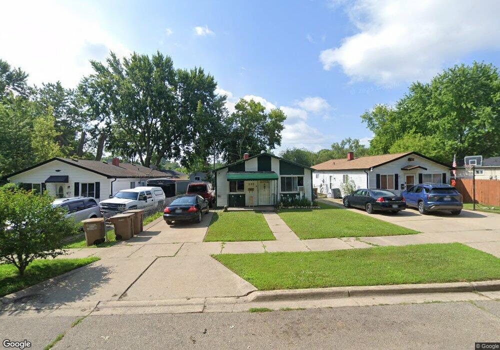
205 Parkdale Ave Pontiac, MI 48340
Estimated Value: $91,000 - $139,000
3
Beds
1
Bath
920
Sq Ft
$121/Sq Ft
Est. Value
About This Home
This home is located at 205 Parkdale Ave, Pontiac, MI 48340 and is currently estimated at $111,231, approximately $120 per square foot. 205 Parkdale Ave is a home located in Oakland County with nearby schools including Alcott School, Pontiac Middle School, and Pontiac High School.
Ownership History
Date
Name
Owned For
Owner Type
Purchase Details
Closed on
Nov 1, 1999
Sold by
Flagstar Bank
Bought by
Perez Nancy
Current Estimated Value
Home Financials for this Owner
Home Financials are based on the most recent Mortgage that was taken out on this home.
Original Mortgage
$27,000
Interest Rate
7.76%
Purchase Details
Closed on
Oct 24, 1997
Sold by
Sheffield Penny Lynn
Bought by
Sheffield Gary Lynn
Create a Home Valuation Report for This Property
The Home Valuation Report is an in-depth analysis detailing your home's value as well as a comparison with similar homes in the area
Home Values in the Area
Average Home Value in this Area
Purchase History
| Date | Buyer | Sale Price | Title Company |
|---|---|---|---|
| Perez Nancy | $38,500 | -- | |
| Sheffield Gary Lynn | -- | -- |
Source: Public Records
Mortgage History
| Date | Status | Borrower | Loan Amount |
|---|---|---|---|
| Previous Owner | Perez Nancy | $27,000 |
Source: Public Records
Tax History Compared to Growth
Tax History
| Year | Tax Paid | Tax Assessment Tax Assessment Total Assessment is a certain percentage of the fair market value that is determined by local assessors to be the total taxable value of land and additions on the property. | Land | Improvement |
|---|---|---|---|---|
| 2024 | $704 | $31,690 | $0 | $0 |
| 2023 | $671 | $28,320 | $0 | $0 |
| 2022 | $710 | $25,360 | $0 | $0 |
| 2021 | $691 | $22,010 | $0 | $0 |
| 2020 | $610 | $19,410 | $0 | $0 |
| 2019 | $660 | $16,870 | $0 | $0 |
| 2018 | $628 | $13,870 | $0 | $0 |
| 2017 | $605 | $13,230 | $0 | $0 |
| 2016 | $444 | $11,590 | $0 | $0 |
| 2015 | -- | $11,280 | $0 | $0 |
| 2014 | -- | $10,760 | $0 | $0 |
| 2011 | -- | $13,520 | $0 | $0 |
Source: Public Records
Map
Nearby Homes
- 201 Parkdale Ave
- 119 W Kennett Rd
- 109 W Kennett Rd
- 998 Dewey St
- 32 N Merrimac St
- 0000 Blaine Ave
- 33 W Beverly Ave
- 255 W Rutgers Ave
- 1017 Cherrylawn Dr
- 686 Lounsbury Ave
- 240 W Fairmount Ave
- 134 W Fairmount Ave
- 207 W Strathmore Ave
- 841 Orlando Ave
- 117 W Strathmore Ave
- 793 Orlando Ave
- 18 E 18 E Rutgers Ave
- 112 W Strathmore Ave
- 1153 Stanley Ave
- 54 Hudson Ave
- 209 Parkdale Ave
- 198 S Merrimac St
- 217 Parkdale Ave
- 202 S Merrimac St
- 194 S Merrimac St
- 187 Parkdale Ave
- 206 S Merrimac St
- 190 S Merrimac St
- 183 Parkdale Ave
- 206 Parkdale Ave
- 200 Parkdale Ave
- 186 S Merrimac St
- 194 Parkdale Ave
- 188 Parkdale Ave
- 182 S Merrimac St
- 179 Parkdale Ave
- 223 Parkdale Ave
- 214 S Merrimac St
- 184 Parkdale Ave
- 218 S Merrimac St