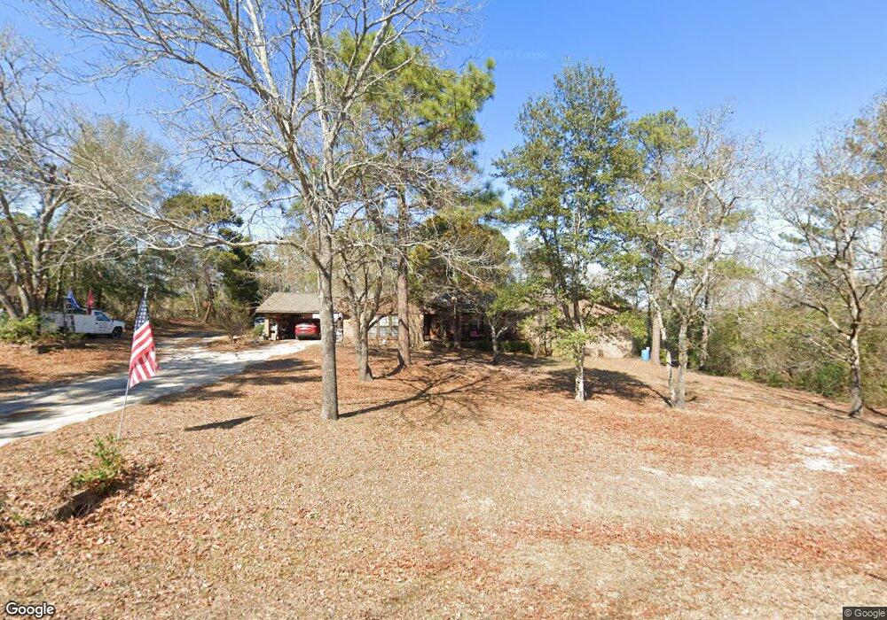
205 Patton Dr Warner Robins, GA 31093
Estimated Value: $239,000 - $266,000
3
Beds
2
Baths
2,249
Sq Ft
$114/Sq Ft
Est. Value
About This Home
This home is located at 205 Patton Dr, Warner Robins, GA 31093 and is currently estimated at $256,703, approximately $114 per square foot. 205 Patton Dr is a home located in Houston County with nearby schools including Northside Elementary School, Northside Middle School, and Northside High School.
Ownership History
Date
Name
Owned For
Owner Type
Purchase Details
Closed on
Jul 11, 2016
Sold by
Us Bank Trust National Ass
Bought by
Reeves David Joy and Reeves Ernestine Marie
Current Estimated Value
Purchase Details
Closed on
Jan 6, 2015
Sold by
Alford Michael E
Bought by
Us Bank Trust National Associa
Purchase Details
Closed on
Jun 4, 1999
Sold by
Hunnicutt Walter B
Bought by
Alford Michael E
Purchase Details
Closed on
Jun 28, 1985
Sold by
Harlan William B and Harlan Sara A
Bought by
Hunnicutt Walter B
Purchase Details
Closed on
Apr 13, 1976
Sold by
Clements Elton L
Bought by
Harlan William B and Harlan Sara A
Create a Home Valuation Report for This Property
The Home Valuation Report is an in-depth analysis detailing your home's value as well as a comparison with similar homes in the area
Home Values in the Area
Average Home Value in this Area
Purchase History
| Date | Buyer | Sale Price | Title Company |
|---|---|---|---|
| Reeves David Joy | $68,601 | -- | |
| Us Bank Trust National Associa | $84,240 | -- | |
| Alford Michael E | $104,600 | -- | |
| Hunnicutt Walter B | -- | -- | |
| Harlan William B | -- | -- |
Source: Public Records
Tax History Compared to Growth
Tax History
| Year | Tax Paid | Tax Assessment Tax Assessment Total Assessment is a certain percentage of the fair market value that is determined by local assessors to be the total taxable value of land and additions on the property. | Land | Improvement |
|---|---|---|---|---|
| 2024 | $2,013 | $86,160 | $8,640 | $77,520 |
| 2023 | $1,684 | $71,680 | $8,640 | $63,040 |
| 2022 | $1,558 | $66,480 | $7,920 | $58,560 |
| 2021 | $1,120 | $48,120 | $7,920 | $40,200 |
| 2020 | $1,095 | $46,880 | $7,920 | $38,960 |
| 2019 | $1,095 | $46,880 | $7,920 | $38,960 |
| 2018 | $1,095 | $46,880 | $7,920 | $38,960 |
| 2017 | $622 | $47,760 | $7,920 | $39,840 |
| 2016 | $1,169 | $47,760 | $7,920 | $39,840 |
| 2015 | $1,144 | $48,640 | $8,800 | $39,840 |
| 2014 | -- | $48,640 | $8,800 | $39,840 |
| 2013 | -- | $48,640 | $8,800 | $39,840 |
Source: Public Records
Map
Nearby Homes
- 108 Jessica Dr
- 107 Stonefield Ct
- 213 Fairgrounds Blvd
- 403 Fieldstone Rd
- 409 Fieldstone Rd
- 60 Tiffany Ln
- 94 Tiffany Ln
- 136 Scarborough Rd
- 405 Tumbleweed Cir
- 1089 Dunbar Rd
- 303 Wake Forest Dr
- 111 Red Oak Glen
- 112 Forest Lake Dr
- 109 Haag Dr
- 105 Maple Glen Ct
- 312 Wake Forest Dr
- 218 Valencia Cir
- 302 Woodhaven Rd
- 203 Patton Dr
- 200 Custer Dr
- 200 Custer Dr
- 204 Patton Dr
- 202 Patton Dr
- 100 Custer Ct
- 202 Custer Dr
- 0 Custer Ct Unit 8483297
- 0 Custer Ct Unit 8465143
- 0 Custer Ct Unit 8232162
- 0 Custer Ct Unit 7113755
- 0 Custer Ct Unit 9012065
- 204 Custer Dr Unit 4
- 204 Custer Dr Unit 4
- 204 Custer Dr
- 206 Custer Dr
- 117 Patton Dr
- 102 Custer Ct
- 208 Custer Dr
- 301 Cheyenne Dr