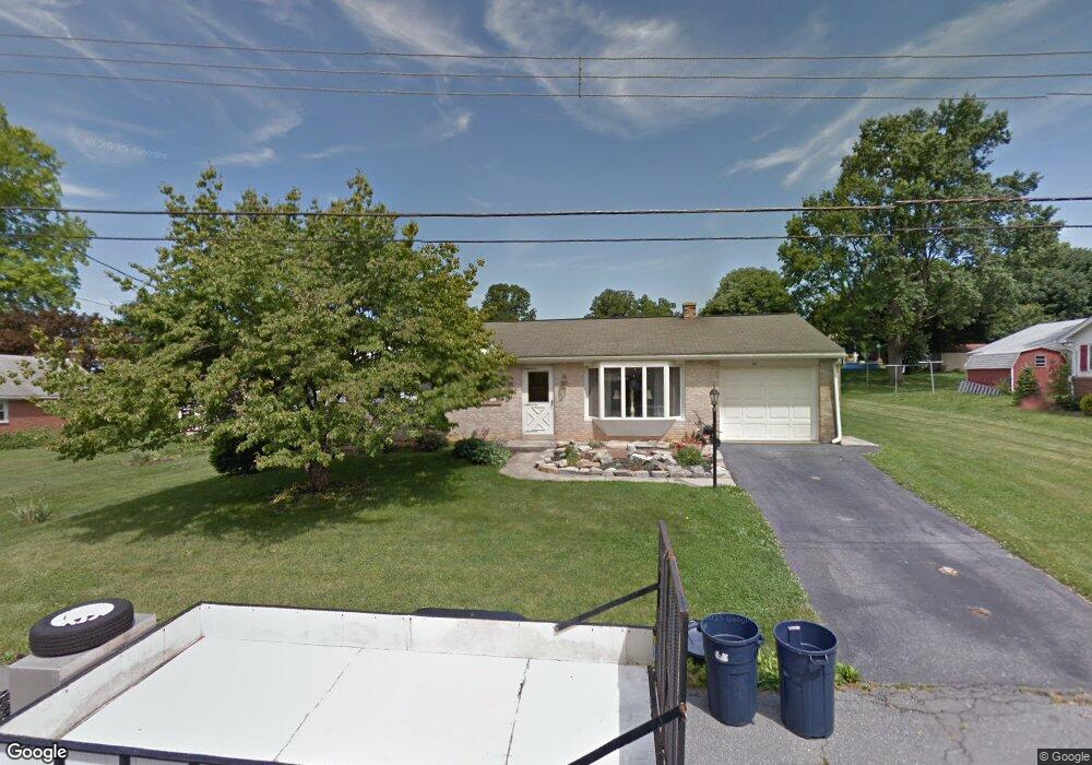
205 Phillip Dr Myerstown, PA 17067
Heidelberg NeighborhoodEstimated Value: $256,000 - $321,000
3
Beds
1
Bath
1,448
Sq Ft
$194/Sq Ft
Est. Value
About This Home
This home is located at 205 Phillip Dr, Myerstown, PA 17067 and is currently estimated at $281,395, approximately $194 per square foot. 205 Phillip Dr is a home located in Lebanon County with nearby schools including Eastern Lebanon County Senior High School, Cherry Lane School, and Buffalo Springs Parish School.
Ownership History
Date
Name
Owned For
Owner Type
Purchase Details
Closed on
Jul 25, 2006
Sold by
Robson Barbara S and Flashel Barbara S
Bought by
Fuller Chad T and Fuller Amanda K
Current Estimated Value
Home Financials for this Owner
Home Financials are based on the most recent Mortgage that was taken out on this home.
Original Mortgage
$135,920
Outstanding Balance
$81,359
Interest Rate
6.8%
Mortgage Type
New Conventional
Estimated Equity
$200,036
Create a Home Valuation Report for This Property
The Home Valuation Report is an in-depth analysis detailing your home's value as well as a comparison with similar homes in the area
Home Values in the Area
Average Home Value in this Area
Purchase History
| Date | Buyer | Sale Price | Title Company |
|---|---|---|---|
| Fuller Chad T | $169,900 | None Available |
Source: Public Records
Mortgage History
| Date | Status | Borrower | Loan Amount |
|---|---|---|---|
| Open | Fuller Chad T | $135,920 |
Source: Public Records
Tax History Compared to Growth
Tax History
| Year | Tax Paid | Tax Assessment Tax Assessment Total Assessment is a certain percentage of the fair market value that is determined by local assessors to be the total taxable value of land and additions on the property. | Land | Improvement |
|---|---|---|---|---|
| 2025 | $3,423 | $147,700 | $36,800 | $110,900 |
| 2024 | $3,161 | $147,700 | $36,800 | $110,900 |
| 2023 | $3,161 | $147,700 | $36,800 | $110,900 |
| 2022 | $3,089 | $147,700 | $36,800 | $110,900 |
| 2021 | $2,947 | $147,700 | $36,800 | $110,900 |
| 2020 | $2,907 | $147,700 | $36,800 | $110,900 |
| 2019 | $2,850 | $147,700 | $36,800 | $110,900 |
| 2018 | $2,801 | $147,700 | $36,800 | $110,900 |
| 2017 | $612 | $147,700 | $36,800 | $110,900 |
| 2016 | $2,680 | $147,700 | $36,800 | $110,900 |
| 2015 | -- | $147,700 | $36,800 | $110,900 |
| 2014 | -- | $147,700 | $36,800 | $110,900 |
Source: Public Records
Map
Nearby Homes
- 204 Phillip Dr
- 238 Lancaster Ave
- 108 S Market St
- 0 Copper Ridge Dr Unit PALN2011766
- 00 Copper Ridge Dr
- 39 Mine Rd
- 157 Copper Ridge Dr
- 01 Copper Ridge Dr
- 166 Marissa Ct
- 221 Copper Ridge Dr
- 220 Copper Ridge Dr
- 220 Copper Ridge Dr
- 217 Copper Ridge Dr
- 10 Manor Dr
- 173 Marissa Ct
- 172 Marissa Ct
- 174 Marissa Ct
- 168 Marissa Ct
- 171 Marissa Ct
- 182 Marissa Ct
- 201 Phillip Dr
- 2404 Prescott Rd
- 204 Nancy Dr
- 200 Nancy Dr
- 2400 Prescott Rd
- 206 Phillip Dr
- 200 Phillip Dr
- 117 Phillip Dr
- 2500 Prescott Rd
- 108 Nancy Dr
- 116 Phillip Dr
- 2405 Prescott Rd
- 205 Nancy Dr
- 2409 Prescott Rd
- 2401 Prescott Rd
- 2310 Prescott Rd
- 201 Nancy Dr
- 112 Phillip Dr
- 104 Nancy Dr
- 113 Phillip Dr