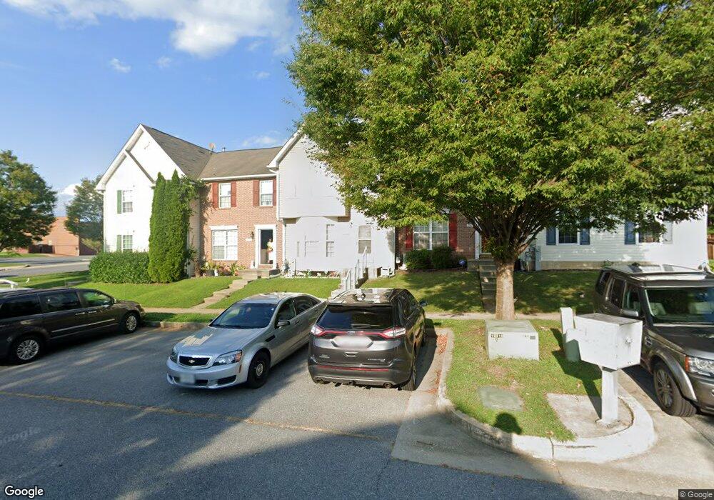
205 Pidco Rd Reisterstown, MD 21136
Estimated Value: $295,000 - $354,000
--
Bed
2
Baths
1,354
Sq Ft
$239/Sq Ft
Est. Value
About This Home
This home is located at 205 Pidco Rd, Reisterstown, MD 21136 and is currently estimated at $324,220, approximately $239 per square foot. 205 Pidco Rd is a home located in Baltimore County with nearby schools including Franklin Elementary School, Franklin Middle, and Franklin High.
Ownership History
Date
Name
Owned For
Owner Type
Purchase Details
Closed on
May 7, 2020
Sold by
Franey Deborah J
Bought by
Marinucci Mark
Current Estimated Value
Home Financials for this Owner
Home Financials are based on the most recent Mortgage that was taken out on this home.
Original Mortgage
$180,000
Outstanding Balance
$159,505
Interest Rate
3.3%
Mortgage Type
New Conventional
Estimated Equity
$164,715
Purchase Details
Closed on
Sep 10, 1998
Sold by
Powers Homes At Stone Mill Inc
Bought by
Franey Deborah J
Create a Home Valuation Report for This Property
The Home Valuation Report is an in-depth analysis detailing your home's value as well as a comparison with similar homes in the area
Home Values in the Area
Average Home Value in this Area
Purchase History
| Date | Buyer | Sale Price | Title Company |
|---|---|---|---|
| Marinucci Mark | $225,000 | Intitle Llc | |
| Franey Deborah J | $107,450 | -- |
Source: Public Records
Mortgage History
| Date | Status | Borrower | Loan Amount |
|---|---|---|---|
| Open | Marinucci Mark | $180,000 |
Source: Public Records
Tax History Compared to Growth
Tax History
| Year | Tax Paid | Tax Assessment Tax Assessment Total Assessment is a certain percentage of the fair market value that is determined by local assessors to be the total taxable value of land and additions on the property. | Land | Improvement |
|---|---|---|---|---|
| 2025 | $3,250 | $229,733 | -- | -- |
| 2024 | $3,250 | $205,900 | $61,400 | $144,500 |
| 2023 | $1,603 | $200,667 | $0 | $0 |
| 2022 | $3,054 | $195,433 | $0 | $0 |
| 2021 | $2,826 | $190,200 | $61,400 | $128,800 |
| 2020 | $2,295 | $189,367 | $0 | $0 |
| 2019 | $2,285 | $188,533 | $0 | $0 |
| 2018 | $2,877 | $187,700 | $61,400 | $126,300 |
| 2017 | $2,659 | $183,600 | $0 | $0 |
| 2016 | $2,389 | $179,500 | $0 | $0 |
| 2015 | $2,389 | $175,400 | $0 | $0 |
| 2014 | $2,389 | $175,400 | $0 | $0 |
Source: Public Records
Map
Nearby Homes
- 4 Wolf Ave
- 100 1st Ave
- 223 New Ave
- 131 Westminster Rd
- 7 Butler Rd
- 10 Pennyborough Ct
- 259 E Chatsworth Ave
- 65A Bond Ave
- 123 Glyndon Trace Dr
- 13943 B Old Hanover Rd
- 13943 D Old Hanover Rd
- 13943 C Old Hanover Rd
- 3 Meadow Mist Ct
- 120 Lamport Rd
- 15 Gloucester Ct
- 225 Highmeadow Rd
- 341 Central Ave
- 9 Norris Run Ct
- 12 Greensborough Rd
- 10 Greensborough Rd