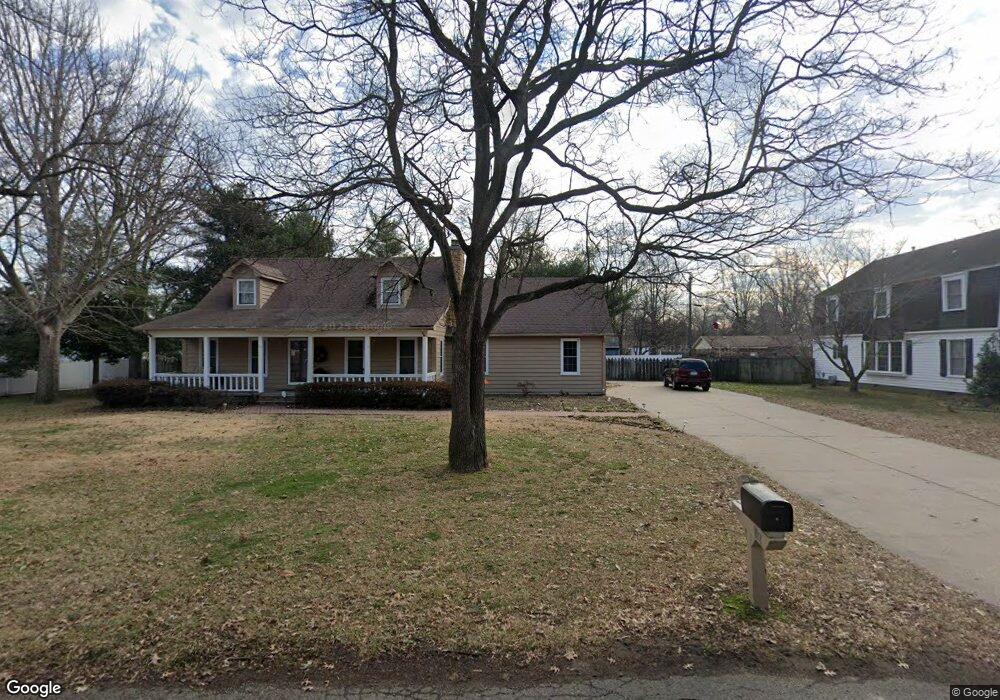
205 Powers St East Prairie, MO 63845
Estimated Value: $106,000 - $152,000
3
Beds
2
Baths
1,395
Sq Ft
$92/Sq Ft
Est. Value
About This Home
This home is located at 205 Powers St, East Prairie, MO 63845 and is currently estimated at $128,483, approximately $92 per square foot. 205 Powers St is a home located in Mississippi County with nearby schools including R. A. Doyle Elementary School, A. J. Martin Elementary School, and East Prairie Junior High School.
Ownership History
Date
Name
Owned For
Owner Type
Purchase Details
Closed on
Mar 10, 2023
Sold by
Ditto Sandra Ruth
Bought by
Morgan & Morgan Rental Properties Llc
Current Estimated Value
Home Financials for this Owner
Home Financials are based on the most recent Mortgage that was taken out on this home.
Original Mortgage
$43,000
Outstanding Balance
$41,650
Interest Rate
6.13%
Mortgage Type
New Conventional
Estimated Equity
$86,833
Purchase Details
Closed on
Feb 27, 2023
Sold by
Thomas Vickie
Bought by
Ditto Sandra
Home Financials for this Owner
Home Financials are based on the most recent Mortgage that was taken out on this home.
Original Mortgage
$43,000
Outstanding Balance
$41,650
Interest Rate
6.13%
Mortgage Type
New Conventional
Estimated Equity
$86,833
Purchase Details
Closed on
Dec 5, 2022
Sold by
Runnerstrom Steve and Runnerstrom Angie
Bought by
Ditto Sandra
Create a Home Valuation Report for This Property
The Home Valuation Report is an in-depth analysis detailing your home's value as well as a comparison with similar homes in the area
Home Values in the Area
Average Home Value in this Area
Purchase History
| Date | Buyer | Sale Price | Title Company |
|---|---|---|---|
| Morgan & Morgan Rental Properties Llc | -- | -- | |
| Ditto Sandra | -- | -- | |
| Ditto Sandra | -- | -- |
Source: Public Records
Mortgage History
| Date | Status | Borrower | Loan Amount |
|---|---|---|---|
| Open | Morgan & Morgan Rental Properties Llc | $43,000 |
Source: Public Records
Tax History Compared to Growth
Tax History
| Year | Tax Paid | Tax Assessment Tax Assessment Total Assessment is a certain percentage of the fair market value that is determined by local assessors to be the total taxable value of land and additions on the property. | Land | Improvement |
|---|---|---|---|---|
| 2024 | $807 | $13,510 | $0 | $0 |
| 2023 | $807 | $13,510 | $0 | $0 |
| 2022 | $818 | $13,700 | $0 | $0 |
| 2021 | $817 | $13,700 | $0 | $0 |
| 2020 | $817 | $13,700 | $0 | $0 |
| 2019 | $825 | $13,830 | $0 | $0 |
| 2018 | $719 | $13,240 | $0 | $0 |
| 2016 | $0 | $13,240 | $0 | $13,240 |
Source: Public Records
Map
Nearby Homes
- 2565 W Highway 80
- 209 S Davis Rd
- 200 Margaret Dr
- 112 Cynthia St
- 211 W Olive St
- 207 W Olive St
- 49 Alesia Dr
- 212 Millar St
- 405 S Kirkendall St
- 201 E Maple St
- 908 Millar St
- 407 Wilbur St
- 517 Herring St
- 81 S 523rd Rd
- 226 Sandy Ln
- 702 S 525th Rd
- 17 Cardinal Ln
- 0 County Road 714
- 20 & 30 Artic Ln
- 1608 County Road 711